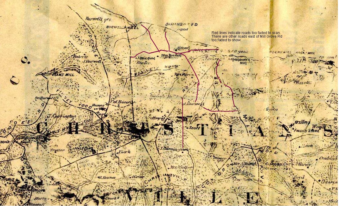
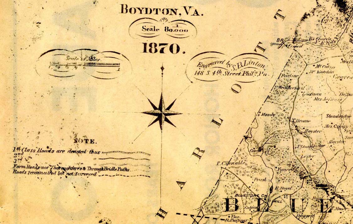
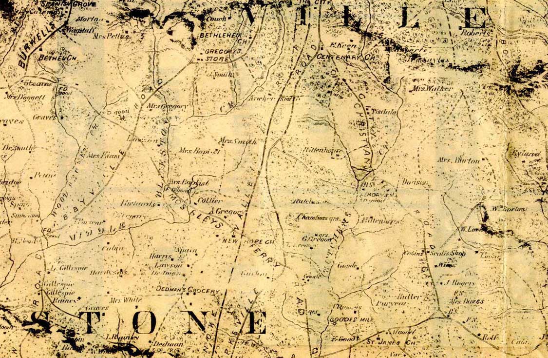
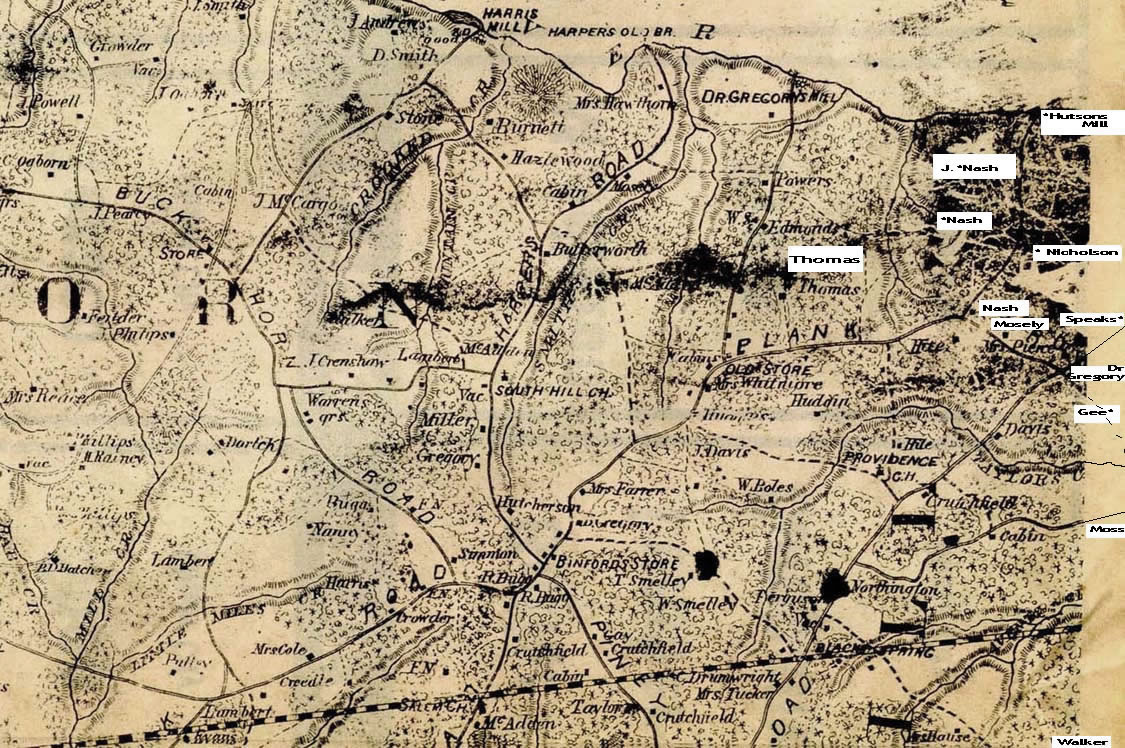
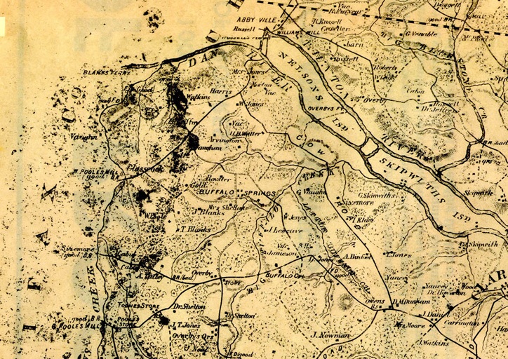
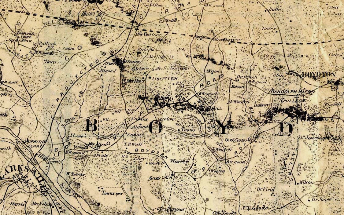
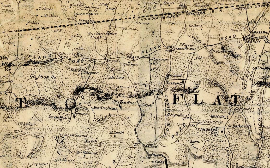
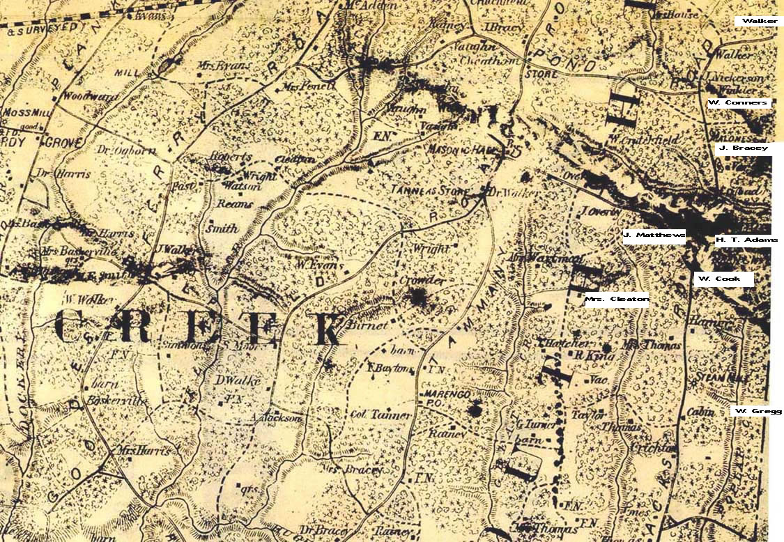
Middle Bluestone Cr [E. of Spanish Grove, see section 2]
Mill Grove Br & Fd (good)
Mill Grove Rd
Morton Oliver's qrs [l. of word Millgrove]
J. Oliver
J. Olivers qrs
Mrs. Wa
J. J. Phillips
Reynolds
Roberts [probably William T. Roberts or Elam's Mill ]
R. Robertson
Rocky Mill
Saunders Fd
Scott
Scotts qrs
Smithson
South Fork of Meherrin River
Spanish Grove
Spanish Grove Rd - on 1864 Gilmer appears to follow Burwell Rd south of Spanish Grove,
and to the north, bearing nw intersecting with City Rd just beyond the railroad
Trotter
Tucker
Vac.
Vacant
Wagstaff
Wood
For details of the section east of Mill Grove Road, see
"Scotts Map"
of J. Marshall Neathery's Cattail Creek and Scott's Crossroads.
Smith, A.
[below Gregory's Store]* If this is correct for Reveille,
coordinates should be: 36° 46' 17"N, 78° 29' 28"W
Smith, Archer
Smith, Dr.
Smith, J.(?) [A. Smith on 1864]
Smith, Mrs.
Smithson? [below Spain]*
Spain
Spain (?)
Spanish Grove [not at junction of #47, #684 & #609]
St. James Ch.
Stearns
Thomas
Tisdale
vac.
Wagstaff
Walker, Mrs.
White, Mrs.
wi___s
Winn, W.[T.Winn on 1864]*
Woodpecker Cr.
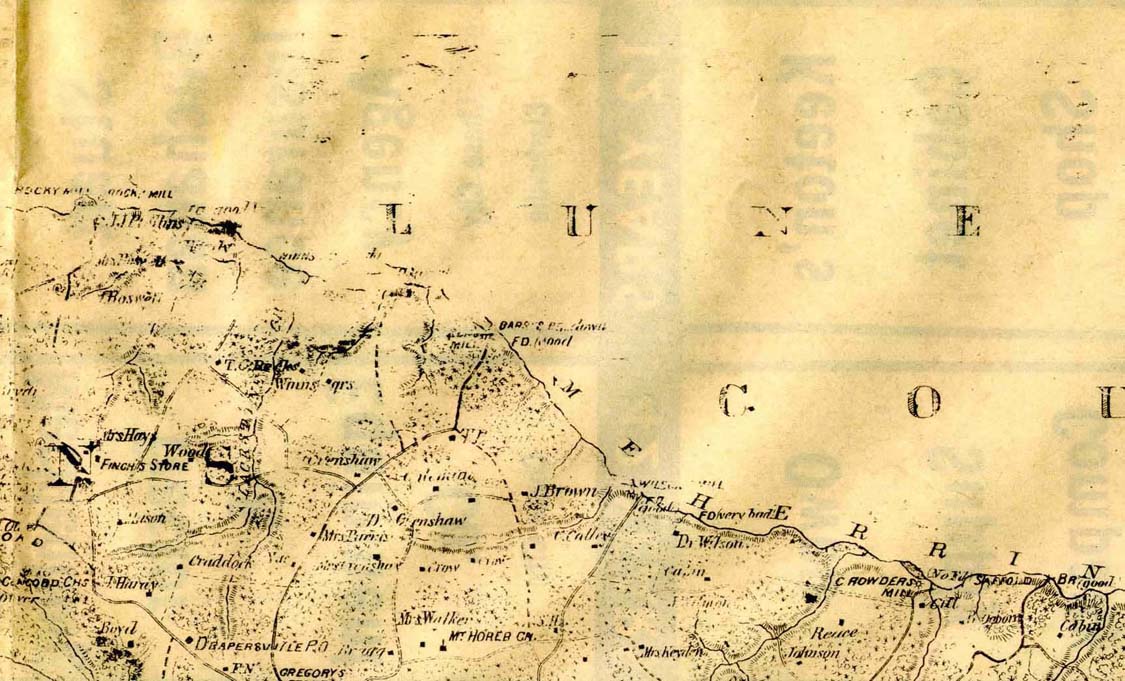
Gregory's Store
Deeds are being studied [2007] to try to place this. It may be near, or
the same as, what is known as "Spring Hill." Chase City and Its
Environs, p. 70, shows Spring Hill was built by James Alexander Gregory,
son of Robert S. Gregory. It served as a U. S. Post Office in the early
1800s. Ms. Lillian Ward says the place burned in 1940's while owned by
Judge Edward W. Hudgins. The house was replaced. She said the Fred Wards
bought the place about 1955. The house of Ms. Lillian Ward is about .2
mile from the main house, which is about .4 mile from #49. The entrance
at #49 is about 36° 46' 36"N, 78° 29' 57"W (NAD27). The drive-way
labeled Spring Hill Road is not the Spring Hill original site, but a
Green place built on part of the old tract, per Lillian Ward.
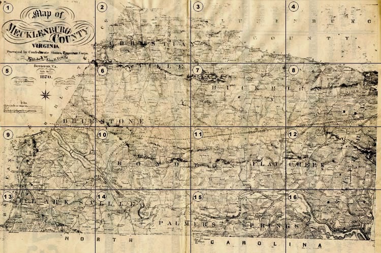
Section 7
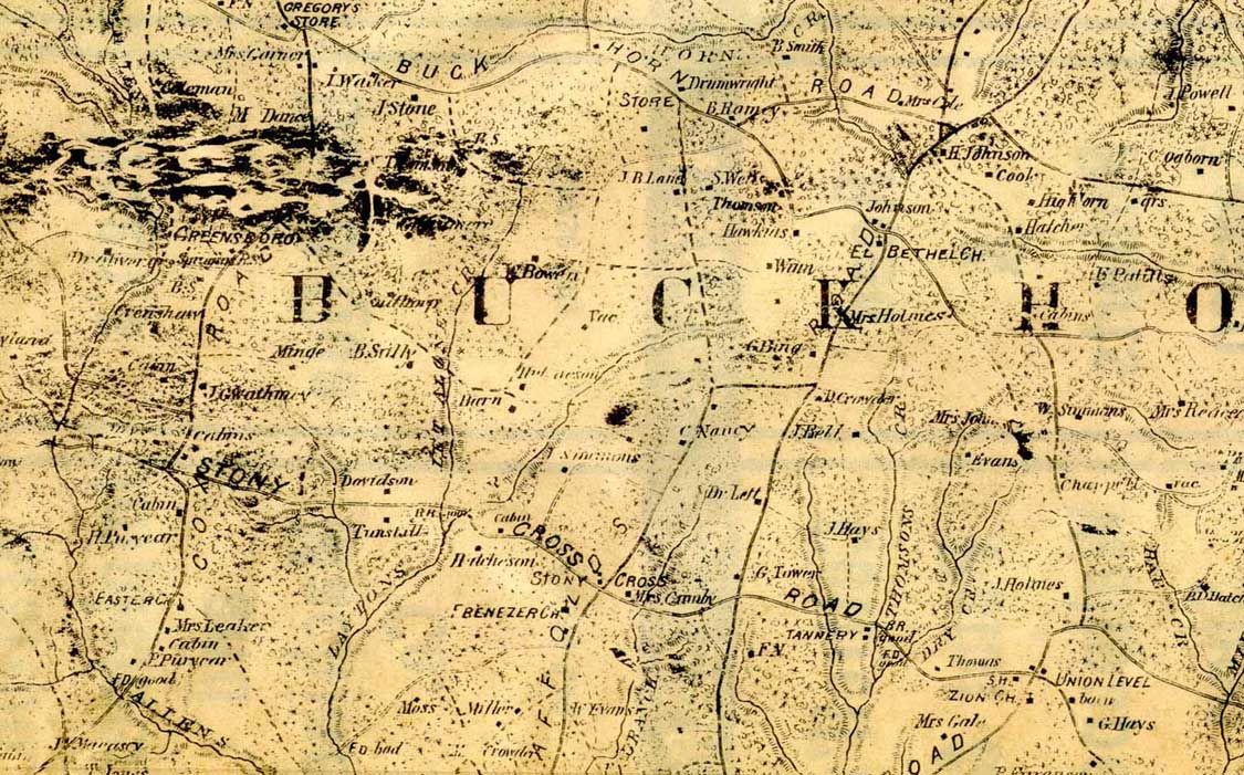
Allens Creek
barn (2)
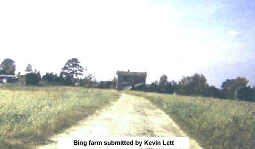
G. Bing farm photo [George Bing - 1870 Census, p. 294]
W. Bowen
br good [bridge across Laytons and/or Let Alone Creek]
br good [bridge across Thomsons Creek]
bs (2)
Buckhorn Creek
Buckhorn Road
W. Burton [see map #6]
cabin (4)
cabin [see map #6]
cabins (2)
Chappell
Mrs. Cole [Ann Eliza Beal Cole, widow of Edward Thomas Cole - 1870 Census, p. 288]
Coleman
Cook
Cox Road
Crab Creek
Crenshaw
Cross
D. Crowder [David H. Crowder - 1870 Census, p. 294]
Mrs. Crowder
Mrs. Cumby [Martha Curtis Cumby, widow of Thomas Cumbia - 1870 Census, p. 293]
M. Dance
Davidson
Drumwright
Dry Creek [Headwaters on old Thomas Nethery lands near Scotts Crossroads. 1765 or earlier. -- J. Marshall Neathery]
Easter Church
Ebenezer Church
El Bethel Church
Evans
W. Evans
fd bad [ford across Laytons Creek]
fd good [ford across Allens Creek]
fd good [ford across Dry Creek]
P. Ferguson [see map #11]
fn (2)
Mrs. Gale
Mrs. Garner
Greensboro
Gregory's Store
J. Gwathney
Hatcher
B. D. Hatcher
Hawkins
G. Hays
J. Hays [James Hays, Jr. - 1870 Census, p. 292]
Hightorn
J. Holmes
Mrs. Holmes [Susan F. Holmes - 1870 Census, p. 294]
Hutcheson (2)
Johnson
H. Johnson
Mrs. Johnson
T. Jones
J. R. or J. B. Lane
Laytons Creek
Mrs. Leaker
Let Alone Creek
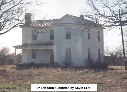
Dr. Lett house photo
[Dr. Peter Edward Lett - 1870 Census, p. 293]
[J. Lett - Jane C. Lett, nee Lett, widow of Joseph A. Lett, Sr. 1870 Census, p. 294]
Long Branch
J. Macasey
Miles Creek [see map #8]
Miller
Minge
Moss
C. Nanny
C. Ogborn
Dr. Oliver
E. Patillo
J. Powell
H. Puryear
P. Puryear
qrs (2)
B. Ramey
Mrs. Reace
Ryland [see map #6]
Saffolds Road
B. Sally
Sculthorp
sh
Sprugens RS [cannot determine]
J. Simmons
W. Simmons
B. Smith
J. Stone
Stony Cross
Stony Cross Road
store
Tabbs Road
tannery
Thomas
Thomson
Thomson [in the dark portion, verified by the 1864 Gilmer map]
Thomsons Creek
G. Tower [I think this should be Bowers]
Tunstall
Union Level
vac (2)
J. Walker
S. Wells
Whitermore [in the dark portion, verified by the 1864 Gilmer map]
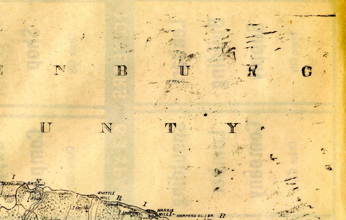
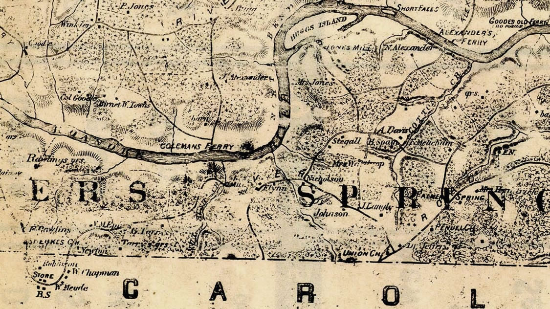
Alexander's Ferry was located from 1741 until at least 1836 apx. 2 1/4
miles (as the crow flies) north-northeast by northeast of Kerr dam, on the south
side of the Roanoke River. There is still a road located there which points
north and stops apx. 1/2-mile south of the riverbank, called Alexander's Ferry
Road. -- J. H. Alexander