

NOTE: Do not confuse modern day Rappahannock County with the now extinct "Old" Rappahannock County from the 17th century. That area is now covered by Essex and Richmond counties. Please visit those sites to research in that area.
 History of Rappahannock County
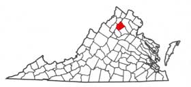
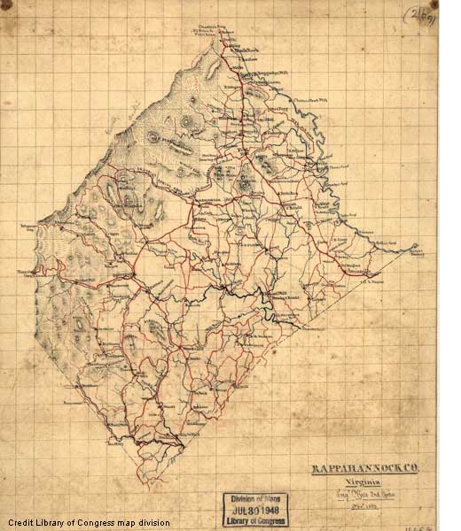
Rappahannock County was formed in the year 1833 from Culpeper County. It was named for the Rappahannock River, which makes up the northern border of the county. The county seat is Washington, which honors George Washington, who worked as a surveyor in the area and platted the town in 1749. Rappahannock County is located at the foot of Virginia's Blue Ridge Mountains, and our ancestors found it's picturesque rolling hills well suited to agricultural use, the principal industry. Today, more than forty percent of the county's 267 square miles is listed as farm land. Other communities in the county are: Amissville, Chester Gap, Flint Hill, Sperryville, and Woodville.
Use the links to the left to help you find what you are looking for. The coordinators for Rappahannock County GenWeb are Jackie Milburn and Warren Swartz. To contact use please click on our names to send an email. Contributions to this site are gladly accepted!
Links to Neighbor CountiesCulpeper Co., Fauquier Co., Madison Co., Page Co. Warren Co.
site search by freefind advanced