|
|
The Virginia Historical Society, owner of the 1864 J. F. Gilmer Map of Charlotte County, has consented for the map to be used at the VAGenWeb Project Charlotte County web site. The Charlotte map and other Civil War maps are available at the Virginia Historical Society Museum Shop. At the VAGenWeb Project Charlotte site, the 1864 Gilmer map is divided into twenty-five clickable sections, each section enlarged and indexed to help identify the home sites. |
|
| Link to 1770 map showing Charlotte/Lunenburg line before it was changed in 1777; also sketch and description of the three forks of Meherrin.12-10-02 |
Click "Online Maps," then type in "Charlotte Court House" and "VA." Choose "Map Search." "Customize" at bottom to get large view. Select at top "Re-center and Zoom In." The map shows VA secondary road numbers, creeks and crossroads. |
| TopoZone.com — current maps | |
David Rumsey Historical Map Collection
NW Charlotte Co. portion of Jed. Hotchkiss map, Library of Congress ca.1864, 1871 |
|
 Charlotte
Co., VA Maps
Charlotte
Co., VA Maps 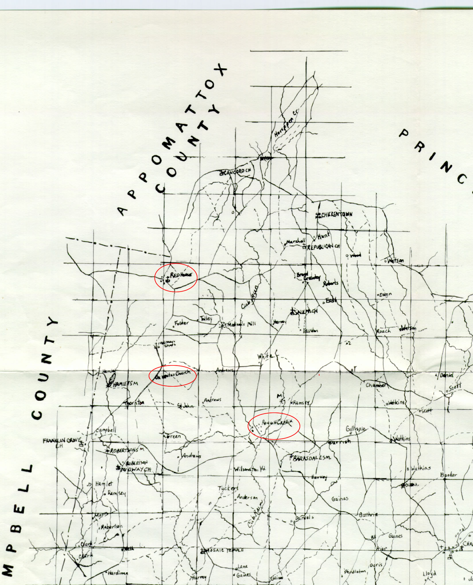