Highlands County, FLGenWeb
 ®
®
|
|
Highlands County, FLGenWeb |
®
|
State Coordinator: Jeff Kemp | Assistant State Coordinator: Tricia Aanderud
County Coordinator: Available
Home | Archives | Biographies | Cemeteries | Census | Churches | Cities & Towns | Maps | Military | Native American | Newspapers | Vital Records | Volunteer
If you are interested in adopting this county and becoming a part of The FLGenWeb Project, please send an email to the State Coordinator.
|
Highlands County was created in
1921 along with Charlotte, Glades, and Hardee, when they were
separated from DeSoto County. It was named for the terrain of the
county. It boasted the fifth-oldest population in America in 2012.
According to the U.S. Census Bureau, the county has a total area of 1,106 square miles (2,860 km2), of which 1,017 square miles (2,630 km2) is land and 89 square miles (230 km2) (8.1%) is water. In area, it is the 14th largest county in Florida. Highlands County is bounded on the east by the Kissimmee River. Lake Istokpoga, the largest lake in the county, is connected to the Kissimmee River by two canals; the Istokpoga canal, and the C41 (outflow) canal.
--- Wikipedia
|
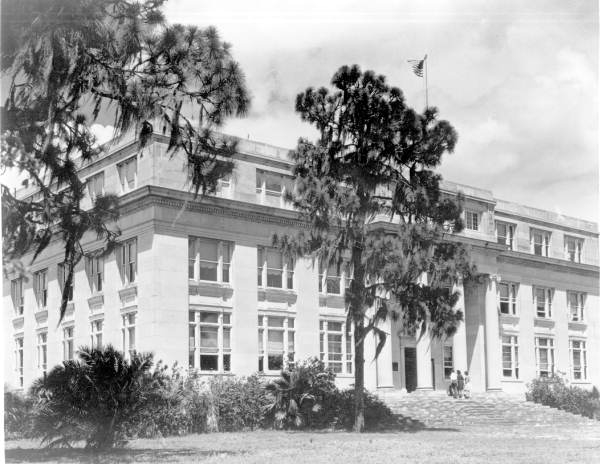 Highlands County Courthouse from the Florida Memory Project |
||||||||||||
Adjacent Counties:
Osceola | Okeechobee | Glades | Charlotte | DeSoto | Hardee | Polk
banner created and courtesy of Jeff Kemp!
1996-present (c) FLGenWeb - Last Updated 2023