   "There
was a slave cemetery moved from the Coffee Plantation when the lake was
built . . . It was moved to a small area south of Highway 406 on
Goverment
Property . . . I
have found this Cemetery . . . It has
plain stones as markers and has approximately 24 - 26 graves . . . I
live in the Preston
area." ~ ~ ~
Joseph Hines
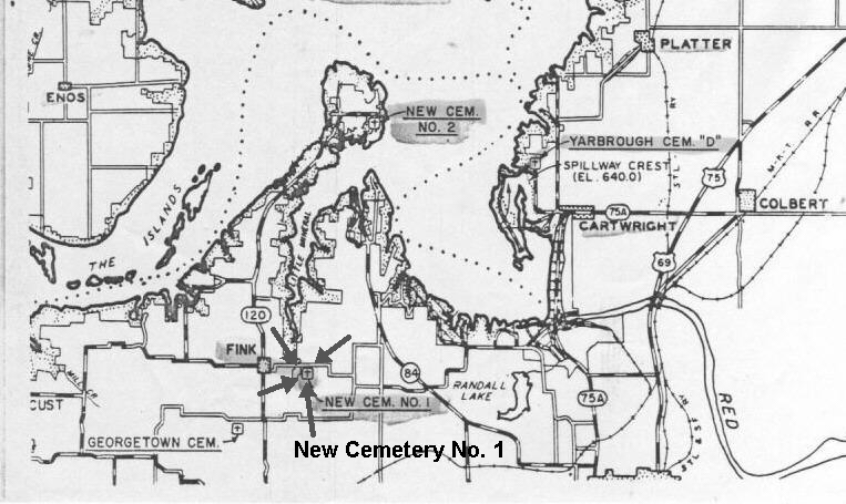
The Cemetery was moved when the Denison Dam was built, along with other cemeteries, to the Government Cemetery #1 which is a part of Preston Bend Cemetery. Original Location Fink/Georgetown area 33.80071 96.66406 Driving directions from Fink, Texas would be: Turn right (east) onto Hwy 406 (Georgetown Road) Travel about 100 yards past the bridge and look for wooded area along creek on the right (south) side of the road view of the bridge 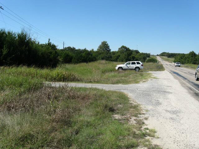 Follow the fence line on the
east side.
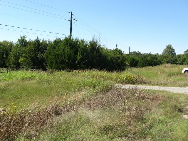 gate No readable markers remain.
 Engineers Map 1942  Removal of Graves Unknown Burials Cemetery Index Susan Hawkins © 2024 If you find any of Grayson CountyTXGenWeb links inoperable, please send me a message. |