MAIN MENU
- About Lunenberg
- African Americans
- Burials
- Census
- Churches
- Communities
- Miscellaneous
- Families
- History
- Houses & Landmarks
- Land
- Maps
- Marriages
- Resources
- Schools
- Taxes
- Wills
NEIGHBORS
Marable Place

Coordinates to location:
Topomap 36°
91' 22.98", -78° 39' 89.88"
Google map 36.912298, -78.398988
Need information
Rt 631, Lee's Mill Road
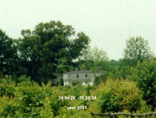
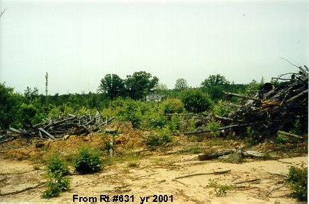
The above enlargement is from the below photo taken from Rt 631. The house could not be reached by car. The road leading to the house has a dead end gate at 36.912298, -78.398988. Carter Thompson said there is a cemetery near the gate.


