? Maps | Providence County, RIGenWeb
Home | Archives | Biographies | Books | Cemeteries | Census | Cities & Towns | History | Libraries | Maps & Directories | Military | Miscellaneous | Vital Records
MAPS

Rhode Island Maps - located on the state page - Bristol | Kent | Newport | Providence | Washington  
These pages are well worth browing through. You will find a wealth of information here!  Truly a very great site on the State Page! 

1844 Providence Directory


Original county boundaries established in Rhode Island in 1703 and
provided by Gold Bug Software to Providence County, RIGenWeb.

Original county boundaries established in Rhode Island in 1729 and
provided by Gold Bug Software to Providence County, RIGenWeb.


Original county boundaries established in Rhode Island in 1729 and
provided by Gold Bug Software to Providence County, RIGenWeb.


1895

Rhode

Island

Atlas
 

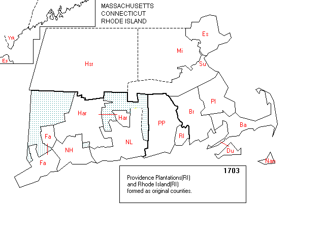
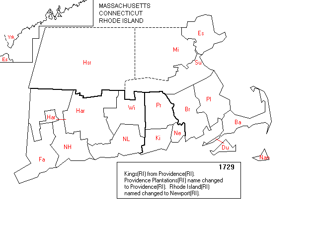
Other Maps of Providence County and Rhode Island Available on the Internet

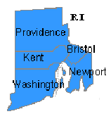
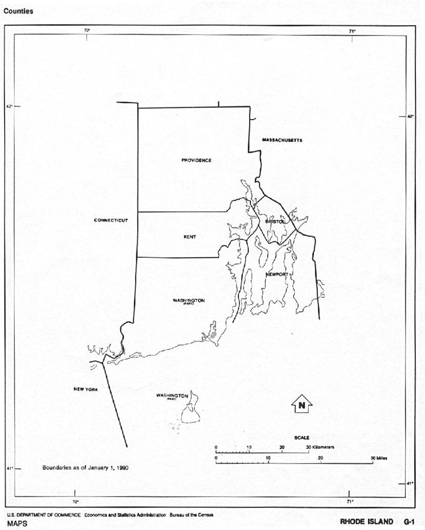
County Outline Map of Rhode Island

Color Landform Map of Rhode Island

U.S. Census Bureau "Tiger" Map for Providence County

"Roll-Your-Own" Genealogy Atlas by John Robertson. How to make your own genealogical atlas by downloading images from the internet and printing them on your printer. With great links to map sources!


Also, try a visit to these:

U.S. Census Bureau Site for Providence County

The Official Rhode Island Tourism Division Website

Rhode Island City and Town Information Page

State of Rhode Island - Cities in the State Website

Providence, RI Mayor's Homepage