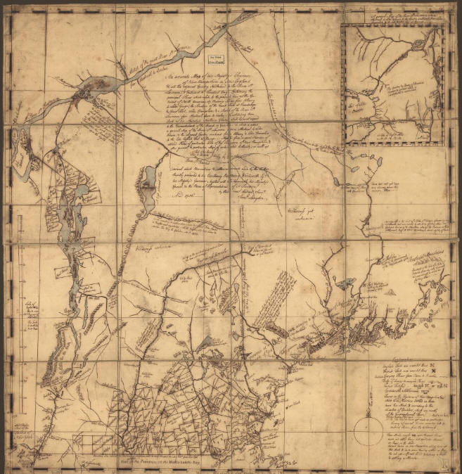
 Vermont Area Map ca 1756. An accurate map of His Majesty's Province of New-Hampshire in New England & all the adjacent country northward to the River St. Lawrence, & eastward to Penobscot Bay, containing the principal places which relate to the present war on the continent of North America. |
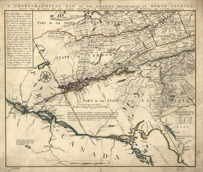 Vermont 1780. Shows land grants and purchaess in northeastern New York State and granted townships in Vermont and parts of New Hampshire and Massachusetts. |
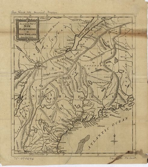 Ca 1781. An accurate map of New Hampshire in New England, from a late survey. |
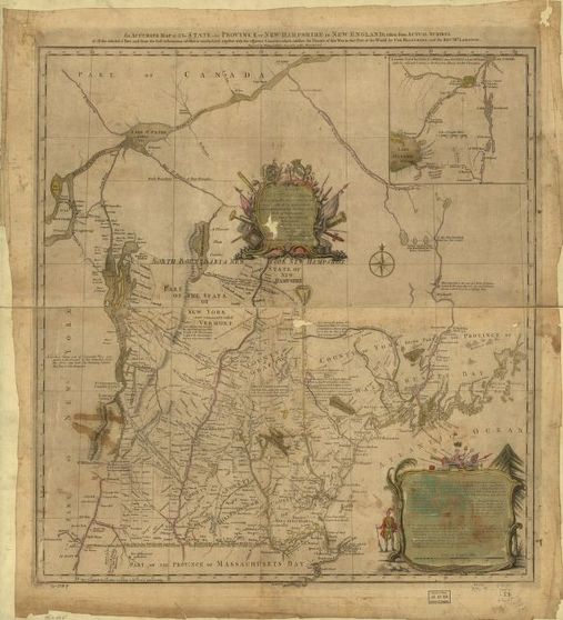 Ca 1784. An accurate map of the State and Province of New-Hampshire in New England, taken from actual surveys of all the inhabited part, and from the best information of what is uninhabited, together with the adjacent countries, which exhibits the theatre of this war in that part of the world. |
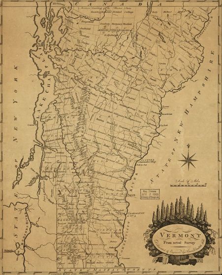 Ca 1795. Map of Vermont, from actual survey. |
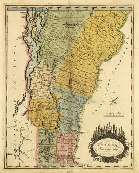 Ca 1814. Map of Vermont, from actual survey. |
Return Home