Keya Paha County NEGenWeb Project
| 1885 Nebraska State Atlas Found in the NEGenWeb Project OnLine Library. Check the county index for the Keya Paha County map. |
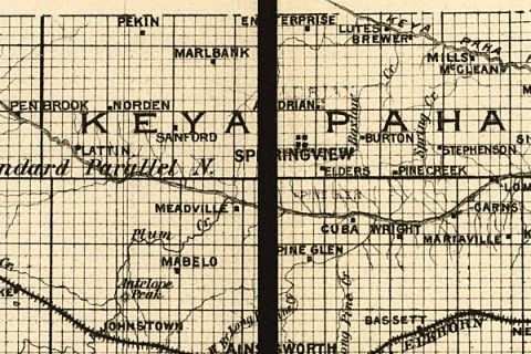
1885 Nebraska State Atlas |
| Keya Paha County, Nebraska 1895 Link to a map of Keya Paha County as it was in 1895 from Pam Rietsch's 1895 U.S. Atlas site. A very special Thank you to Pam for providing a great site. |
Keya Paha County, NE 1895 Pam Rietsch's Site |
| Map of Nebraska published by the Burlington Route 1886. Compiled from the official records of the government and rail road offices. | 1886 Burlington Route map |
| 1889 RR map From a Railway map of Nebraska issued by State Board of Transportation 1889. Library of Congress State Map Collections |
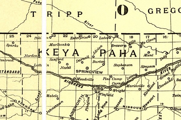
1889 Keya Paha Co. RR map |
| Galbraith's railway mail service map. - 1898 Showing routes and post offices of the Railway Mail Service. | 1898 Railway_Mail_Service_Map |