

Visit the webpage for Carbon County, Utah's Castle Country to see a plot map of where individuals are buried. Click on "Interactive Maps" listed under the Featured Site heading. Click on "Carbon County Interactive map". On the right hand side make sure both the little square and little circle is checked next to gravesites and cemeteries. It doesn't matter if any others are clicked or not. At the top of the page Zoom to "Your Choice" on the drop down menu and then from the left hand side zoom in and out until you get to the place that you can see the cemetery, marks where individuals are buried and the names of the people buried in the cemetery.
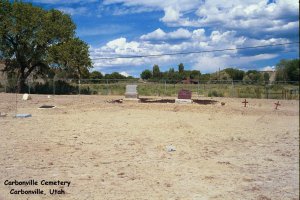
Carbonville, Carbon County
Prazen Lane
Carbonville, UT 84501
Travel Directions: Take Carbonville road north from Price take 2nd right over rail road tracks (near Koal Radio Station). Take left fork first road on right is Prazen Lane.
Contact: Carbon County at (801)636-3200
or contact Patty Axelsen for cemetery database and photos. View an online database here.
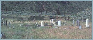
Willow Creek, Carbon County
Hwy 191 at Willow Creek
Travel Directions: Travel north from Helper on Highway 6 to the Highway 161 turn off.Travel over the RR tracks and around the Power Plant up the canyon 1 mile.
View an online database here.
Spring Glen, Carbon County
Highway 6 near golf course
Travel Directions: Exit West from Highway US-6 at MP-235.5 onto County Road to Consumers-Gordon Creek in Spring Glen. 700' West
comments: Property reportedly formerly owned by Ku Klux Klan and used for cross burning.
Contact: Patty Axelsen for cemetery database and photos. View an online database here.
Price, Carbon County, Utah
1850 East 800 North
Travel Directions: E of Castle Hts Elem. From Main St, turn N on 300 E, turn E on 800 N. Cemetery 1 1/4 mile east.
comments: Cliffview cemetery was established in 1995 to meet the need for grave spaces for Price City and the surrounding area.
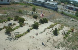
Price, Carbon County, Utah
End of Railroad Avenue
Travel Directions: Go to end of railroad avenue highway 55 train overpass to your right. State Division Wildlife Resources is on left just west of DWR are two fenced cemeteries.
Contact: Patty Axelsen for cemetery database and photos.
Comments: photo courtesy of Ernie Cima.
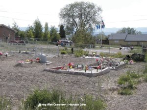
Spring Glen, Carbon County, Utah
Haycock Lane
Travel Directions: From Price go north on Highway 6, turn right toward Spring Glen (directly across from golf course). Drive 1/2 mile turn right go under underpass and go to stop sign. Turn right go 200 feet turn left onto Haycock Lane. Go approximately one mile and the cemetery will be on the right.
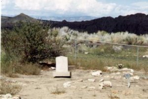
Hiawatha, Carbon County, Utah
Travel Directions: Near slag pile in town of Hiawatha go behind store cross rail road tracks go to old rail road station, fenced cemetery is to the left of depot.
View an online database here.
Comments: The town of Hiawatha is on private property. You must have permission by the owners to visit the cemetery.
Near East Carbon, Carbon County, Utah
Clarks Valley
Travel Directions: 10-15 miles north of Highway 6 in township 14 S. R. 12 E. section 14 near old town of Kiz on east side of Clark Valley Road between road & a wash.
Owner: Soldier Creek Coal Company
Contact: Patty Axelsen for cemetery database and photos.
Price, Carbon County, Utah
Travel Directions: East side of Sutherlands Lumber store parking lot
Contact: Patty Axelsen for cemetery database and photos.
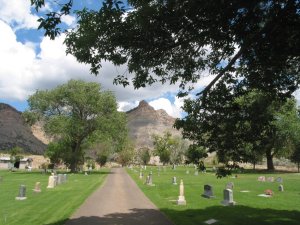
Helper, Carbon County, Utah
Cemetery Road
Travel Directions: From Main Street in Helper turn east onto Janet Street. Turn south onto 2nd East Street. Turn East onto Spruce Street. Spruce Street turn into Cemetery Road. Follow road to the cemetery.
View an online database here.
Contact: Helper City
Phone: 472-3572
Photo donated by Malcolm Howard
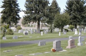
Price, Carbon County, Utah
595 East 400 North
Travel Directions: Turn north off of Main Street on 300 East to 400 North, go east on 400 North to 600 East turn North on 600 East straight into the Cemetery. It is directly east of the College of Eastern
Contact: Price Municipal Corporation -
Phone: (435) 636-3180
View a few of the headstone photos HERE
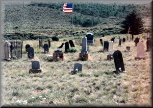
Scofield, Carbon County, Utah
Travel Directions:In city limits on East side of town on slight rise above town
Contact: Town of Scofield - Phone: (435) 637-1622
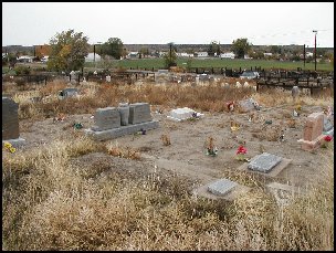
Spring Glen, Carbon County, Utah
Travel Directions: From Helper go south on old highway take first left under railroad on Kenilworth road. After under pass take first left (North) (200 W) Then take first left.
View an online database here.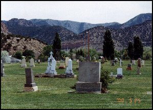
Sunnyside, Carbon County, Utah
Travel Directions: Take Highway 123 eastbound into Sunnyside City, turn left at Valley View Drive approximately 150 feet turn left again on Cemetery Road.
Contact: Sunnyside City
Phone: (801)888-4444
Wellington, Carbon County, Utah
Travel Directions: From Main Street (US Highway 6) in Wellington, turn north on Center Street and proceed one-half mile to Cemetery Road. Turn left and proceed 200 yards to top of hill.
Contact: Wellington City
Phone: 435-637-5213
Price, Carbon County, Utah
Travel Directions: Go to end of Railroad Avenue in Price Highway 55 train overpass go to your right State Division Of Wildlife Resources is on left just west of DWR
Comments: Cemetery on property of original Whitmore farm which extended down to the Price River.
Contact: Patty Axelsen for cemetery database and photos.