|
Jackson County 1841
From: Map of Texas / compiled from surveys
recorded in the Land Office of Texas
and other official surveys by John Arrowsmith, 1790-1873.
CREATED/PUBLISHED
London: John Arrowsmith, 1841.Sectioned together in 18 pieces
mounted on cloth backing.
|
|
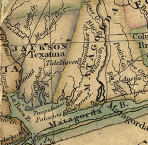
Jackson County 1845
From: Map of Texas,
Standidge & Co., CREATED/PUBLISHED [S.l., 184-?].
Signed by William Bollaert. DLC, 1845 written in pencil at bottom of
map.
|
|
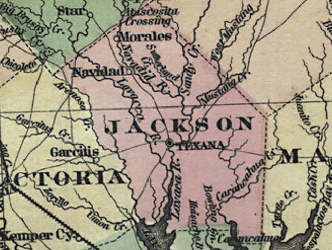
Jackson County 1858
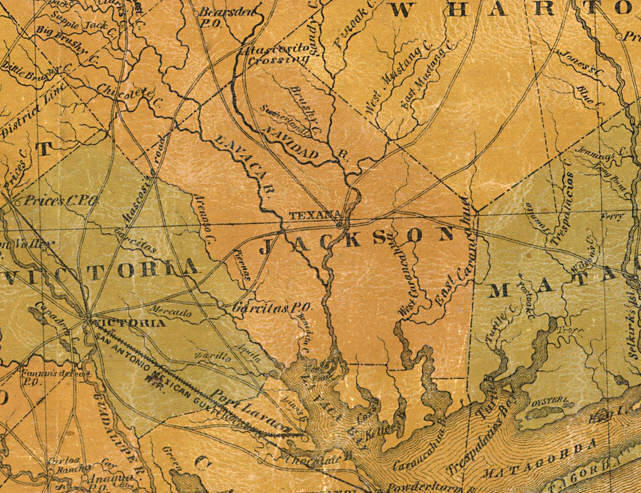
From: Pressler's map
of the state of Texas / compiled from the records of the
General Land Office of the State and various other sources by Chas.
W. Pressler,
principal draftsman. CREATED/PUBLISHED Galveston, Tex.: Jones, Root
& Co., 1858.
|
|
Jackson County 1863
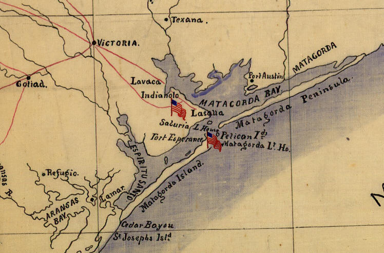
From: Texas Coast showing points of occupation of
expedition under Maj. Gen. N.P. Banks: Nov'r 1863,
CREATED/PUBLISHED [1863?]. Shows towns, rivers, roads, selected
shipwrecks, and Civil War "Points of occupation"
marked by U.S. flags. Pen-and-ink (black/red/blue) with blue
watercolor on verso showing through to recto.
|
|
Jackson County 1865
From: Map of the state of Texas / prepared
under the direction of Brv't Maj. G.L. Gillespie,
Capt. Engrs. U.S.A., Chief Engineer Mil. Division of the Gulf;
compiled and drawn Oct. 1865
and for stone June 1867 by Helmuth Holtz. CREATED/PUBLISHED, 1867
|
|
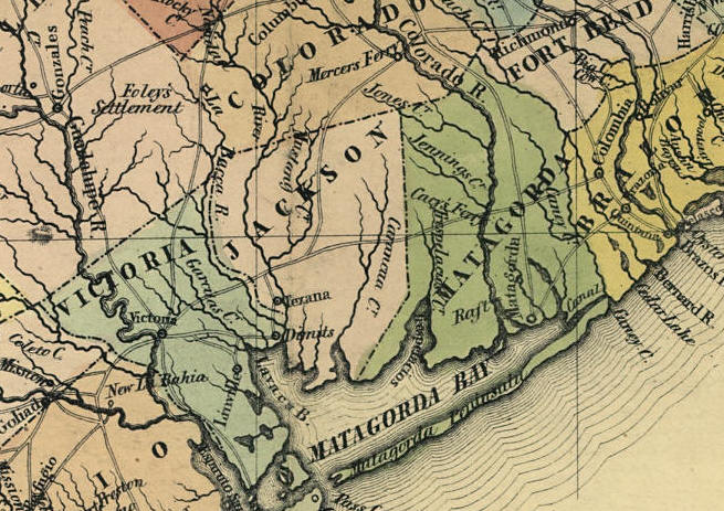
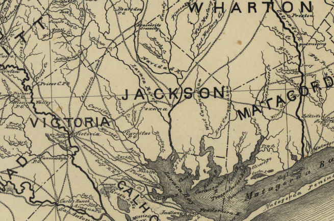
Jackson County 1872
From: Colton's new map of the state of Texas:
the Indian Territory and adjoining portions
of New Mexico, Louisiana, and Arkansas / compiled from the official
county maps of the
General Land Office, the personal reconnaissances and geological
explorations of Prof. A.R. Roessler,
the surveys of the Mexican Boundary Commission, U.S. Coast Surveys,
U.S. General Land Office,
the various Rail Road Cos., information furnished by Mr. Pressler,
and other authentic materials
by G. Woolworth Colton, 1827-1901. CREATED/PUBLISHED, New York : G.W
& C.B. Colton & Co., 1872.
|
|
Jackson County 1900
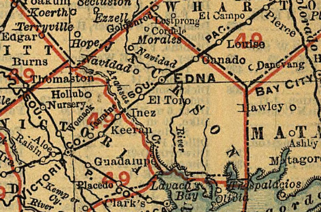
From: From: Texas
railroads. Rand McNally and Company. CREATED/PUBLISHED
Chicago, 1900.
Map overprinted in red to show railroads.
|