|
C L Mile Marker
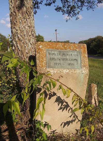
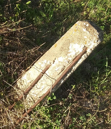
This marker is located on the corner of the Bethel-Cannon Road and Hwy 121 in Cannon. In the 1850s Mr. Dumas and his slaves created the road from Pilot Grove near his property to Pilot Point. It was also known as Airline Road In the 1930s the WPA (Works Project Administration) likely paved the roadway and straightened it out a ltttle as part of The New Deal to provide jobs on public projects during the Great Depression. Beside the WPA marker is what appears to be a survey stone as well. 
Mile Markers Trails & Roads Copyright © 2026, TXGenWeb. If you find any of Grayson County TXGenWeb links inoperable, please send me a message. |