
|
This map shows the early homesteaders in Salem Township and the location of the 25 sections as the township was originally laid out. |
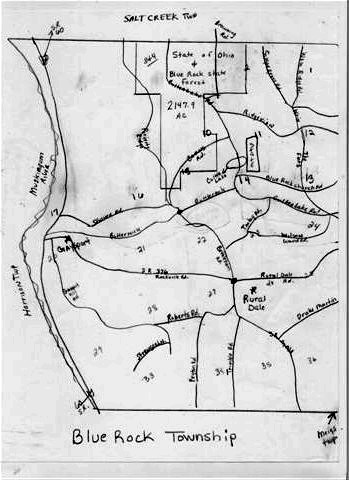
| Map created by Tammy Bragg |

This township is part of the Muskingum County Township Project, and is maintained by Denny Shirer
Last Revised: January 25, 2004
© 1997 - 2006. JavaScript:hemlink('braggt','ragonbbs.com');".Tammy Bragg
Maintained by Denny Shirer for the Muskingum County Township Project, OHGW