MAP IMAGES ON THIS SITE
- 1796 Pease Map - Avery, Elroy McKendree. A History of Cleveland and Its Environs. 1918.
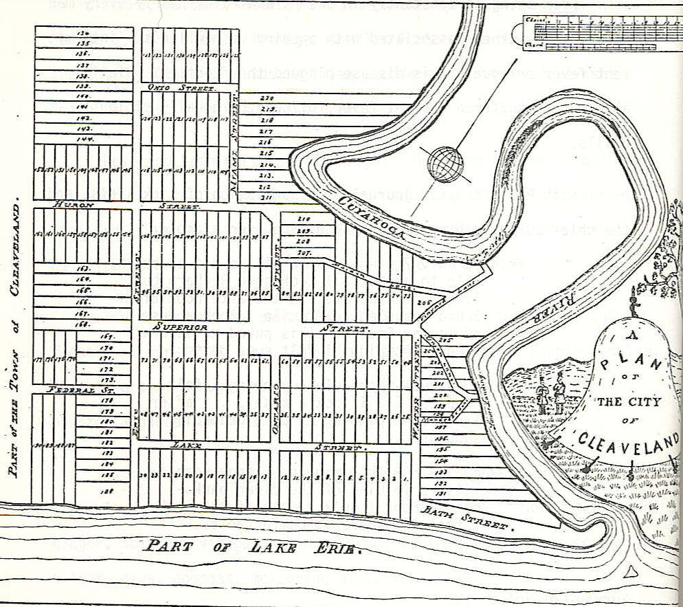
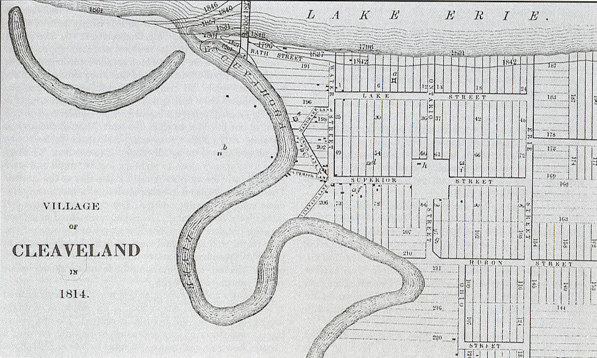
- 1814 Map Whittlesey - Whittlesey, Charles. Early History of Cleveland, Ohio. 1867.
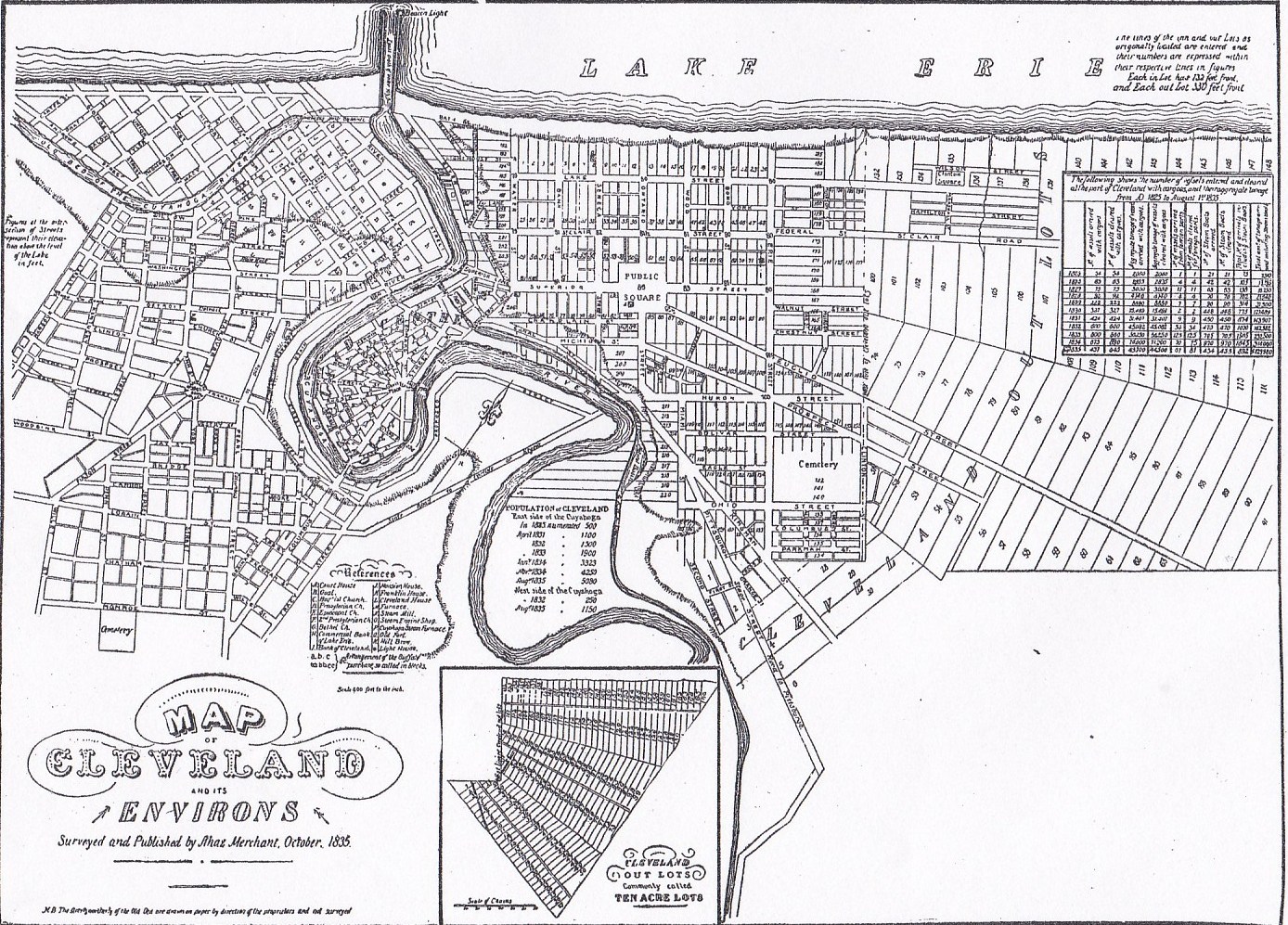
- 1835 Map by Avery - Avery, Elroy McKendree. A History of Cleveland and Its Environs. 1918.
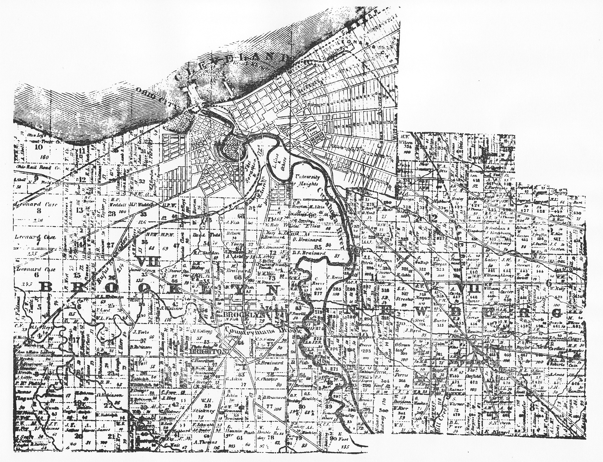
- 1853 Map Brooklyn Twp. - Cuyahoga County Archives
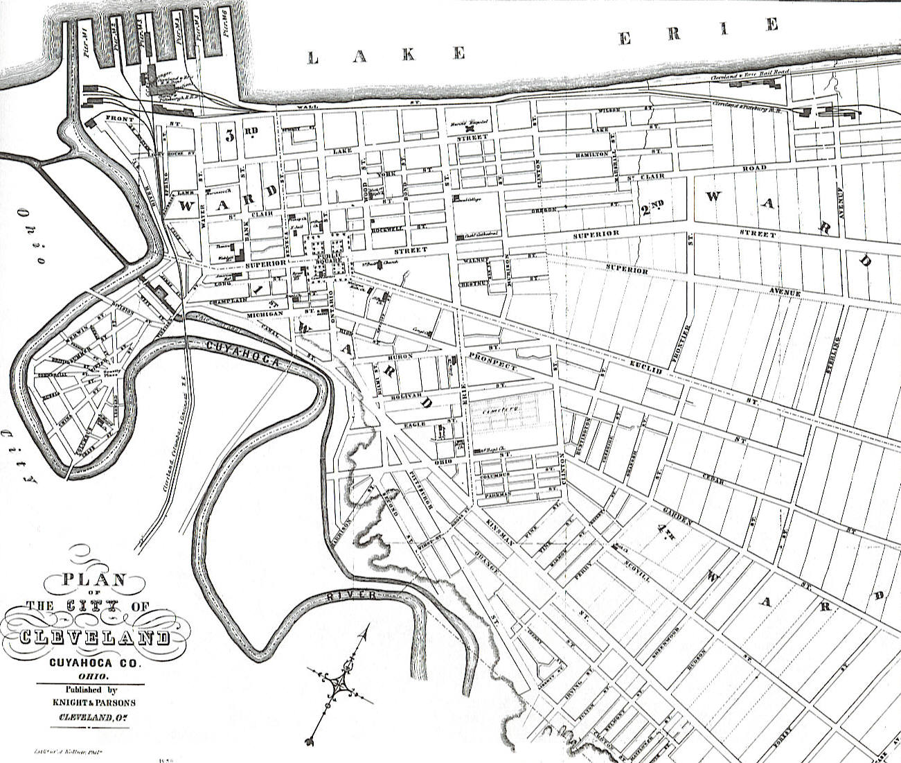
- 1853 Map Business Directory - 1853: Knight & Parsons' Business Directory of the City of Cleveland
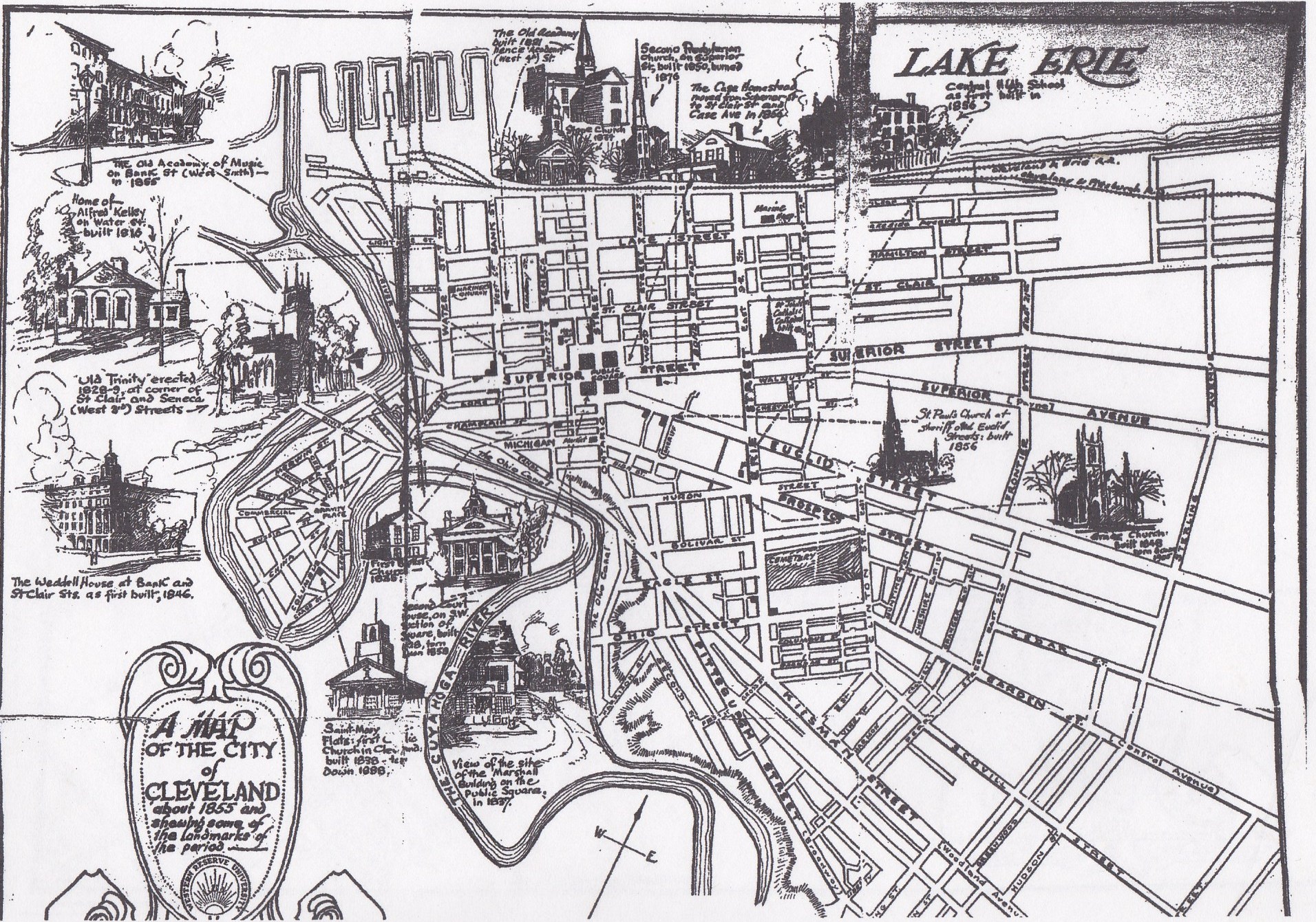
- 1855 Cleveland - Western Reserve University
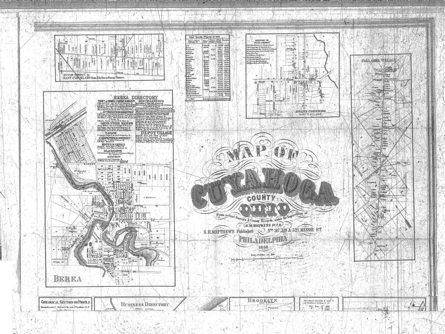
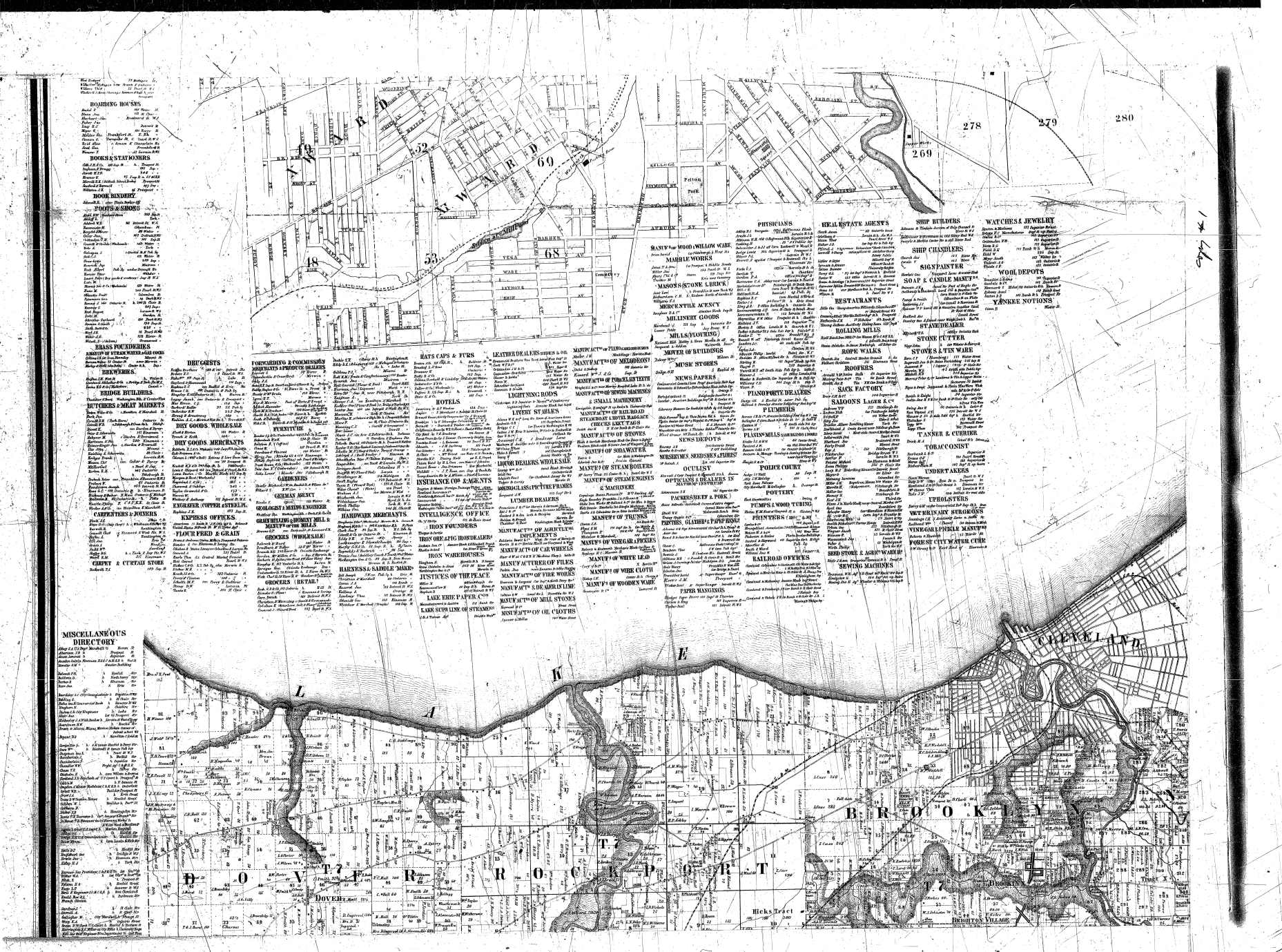
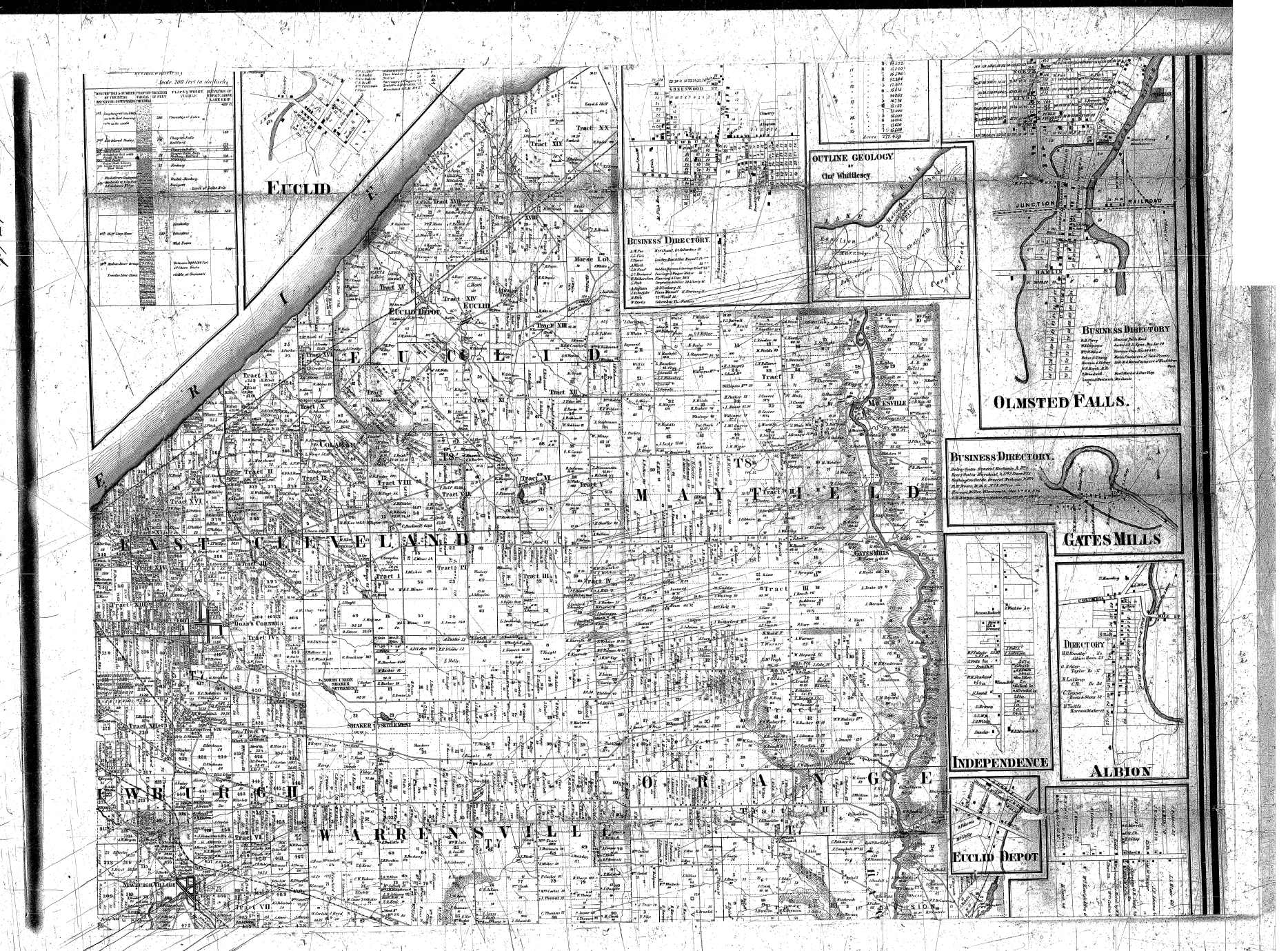
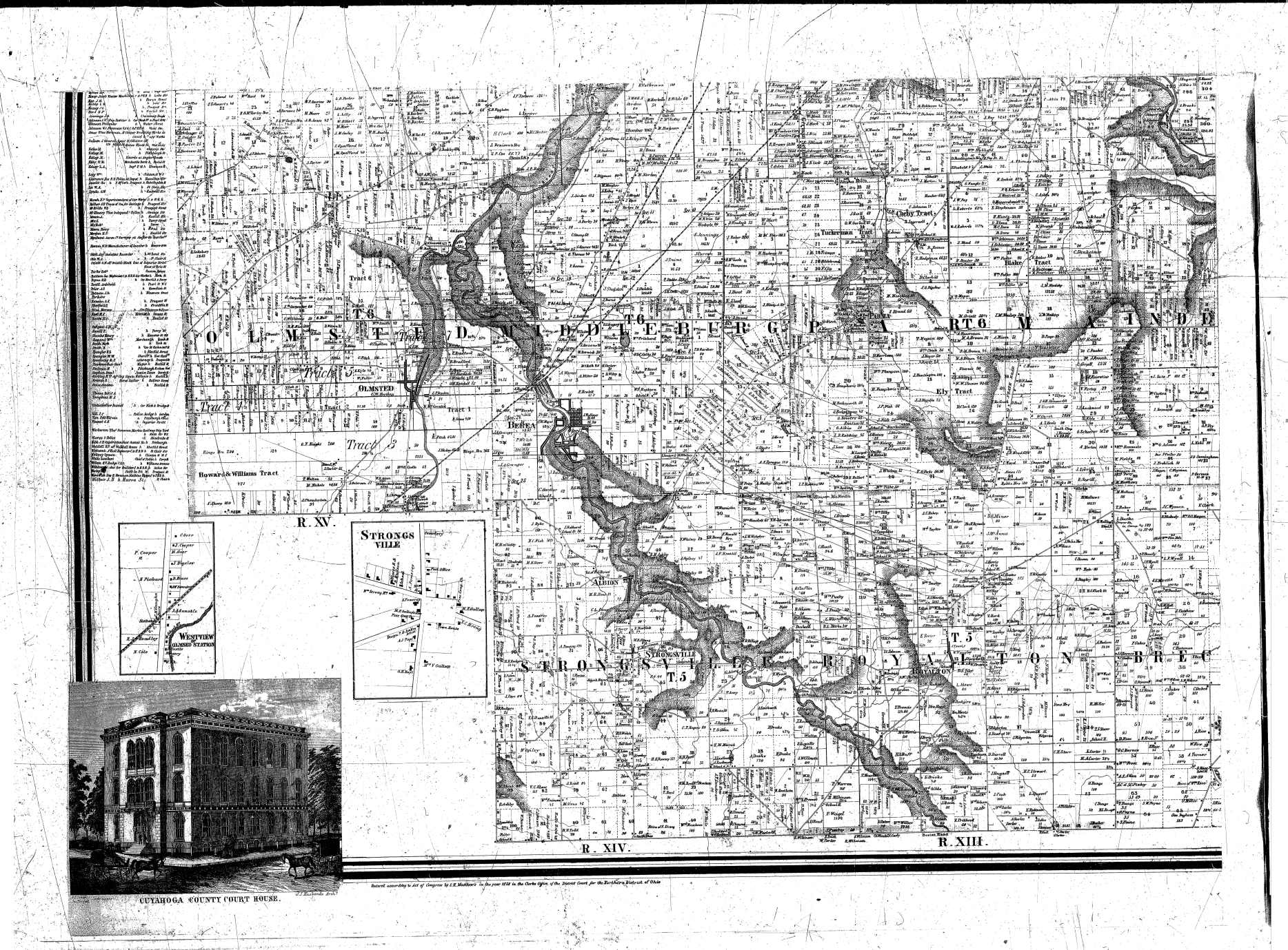
- 1858 Hopkins Maps - CPL
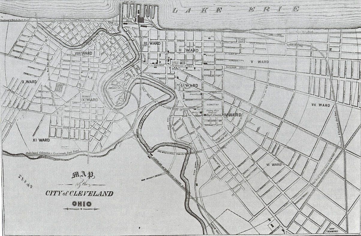
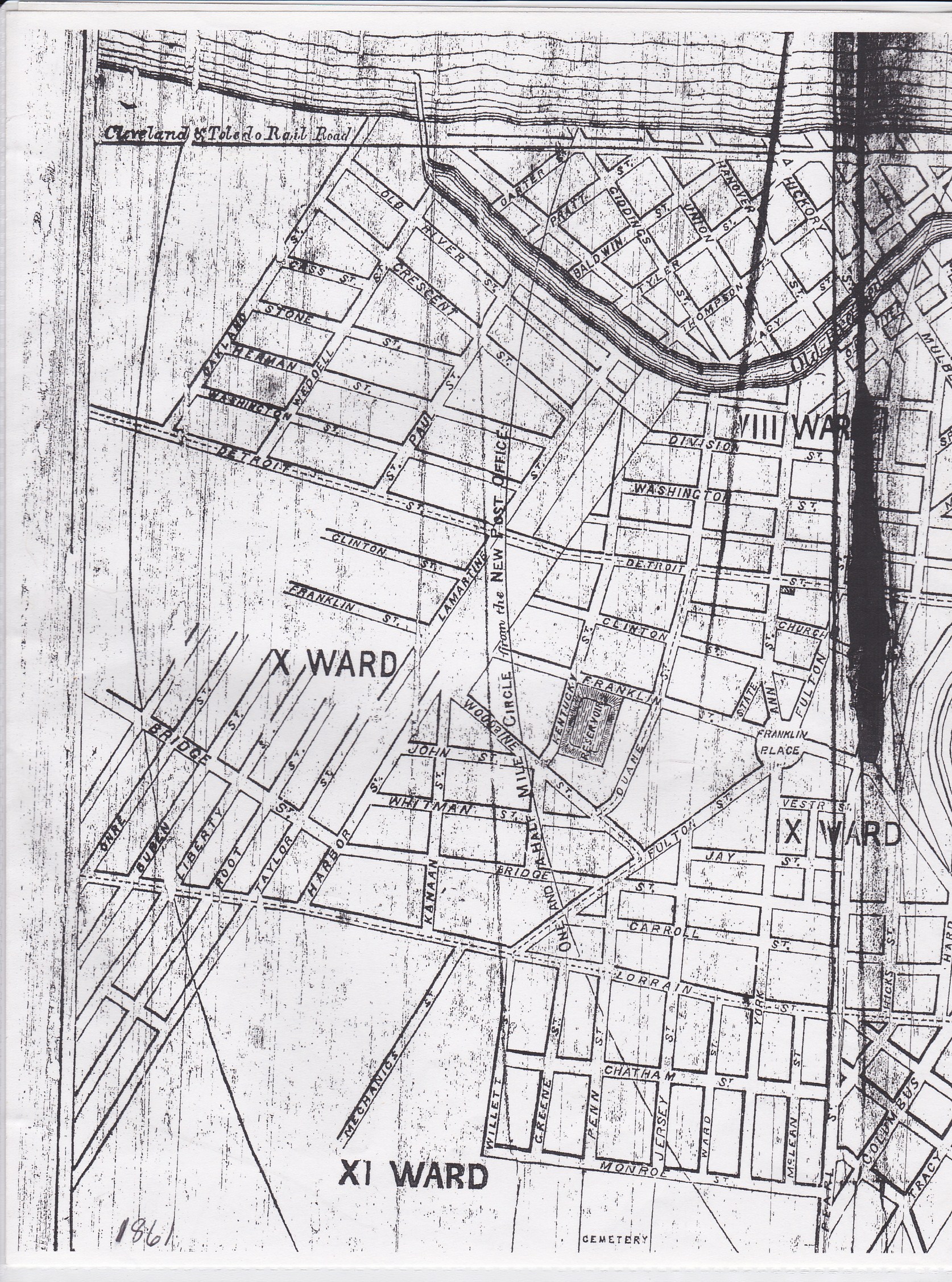
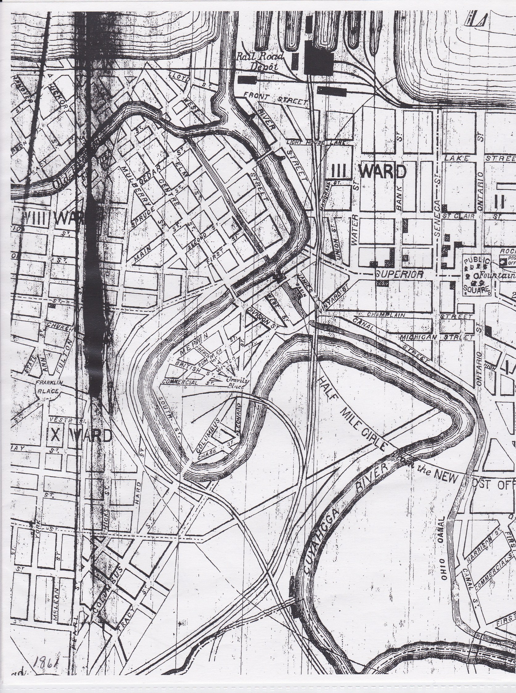
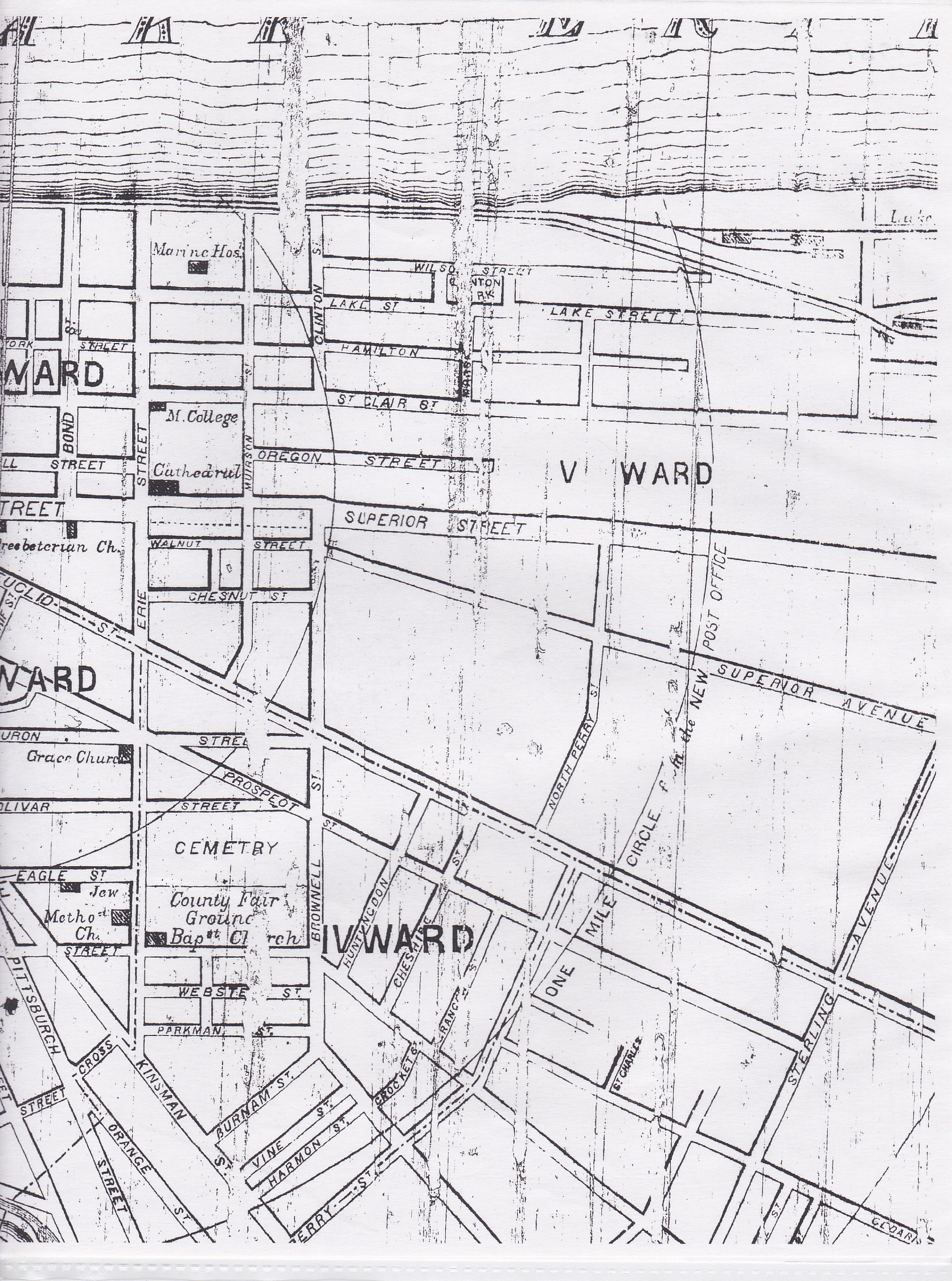
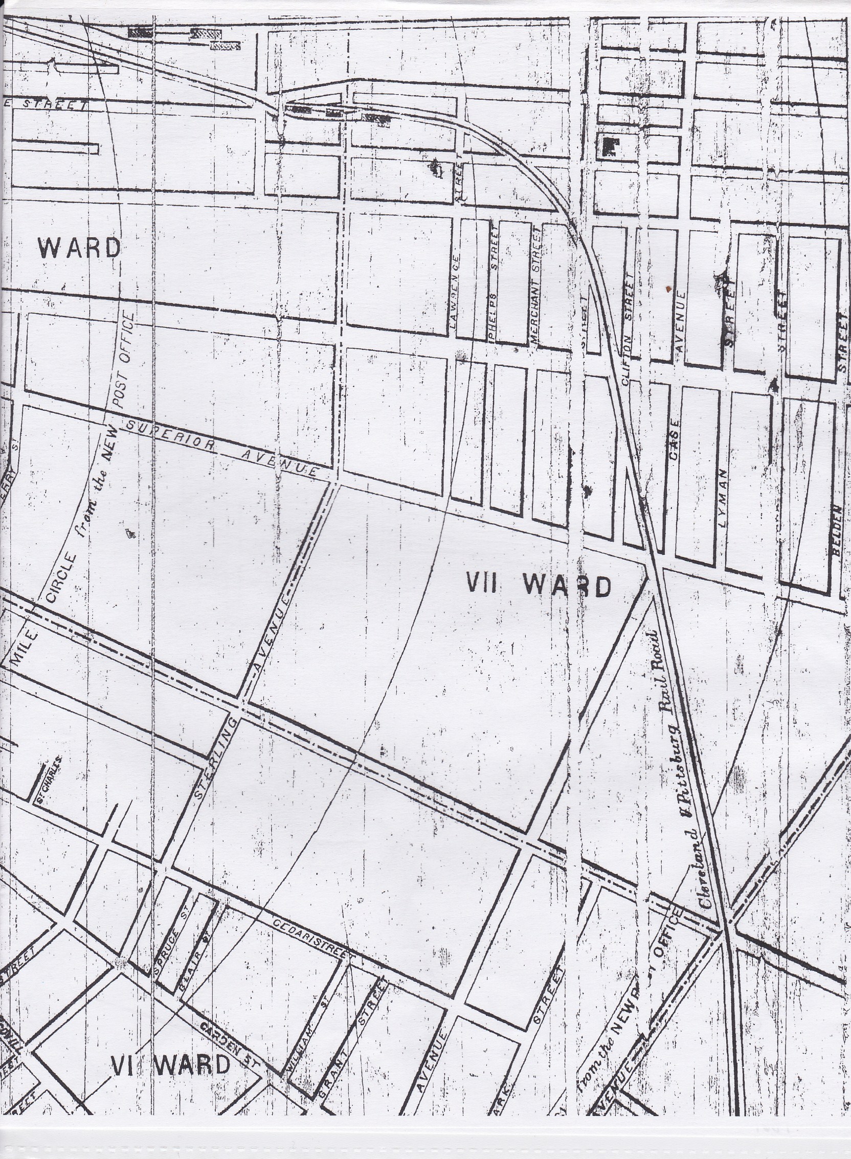
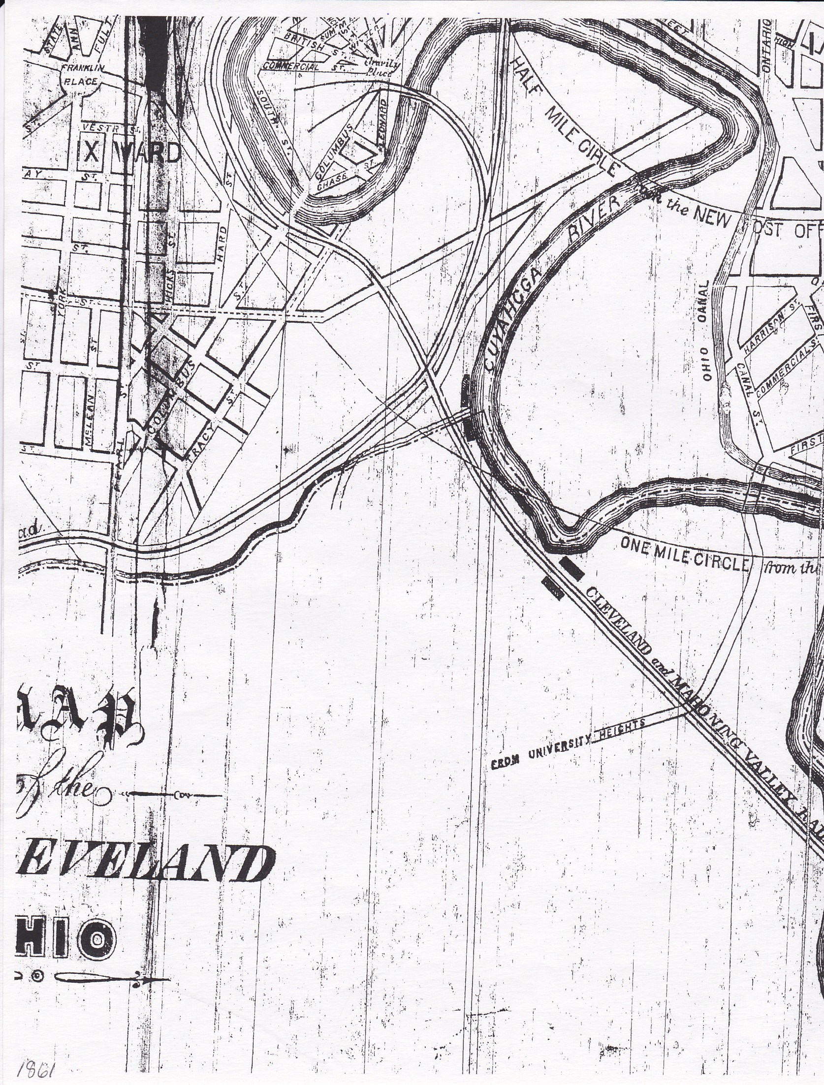
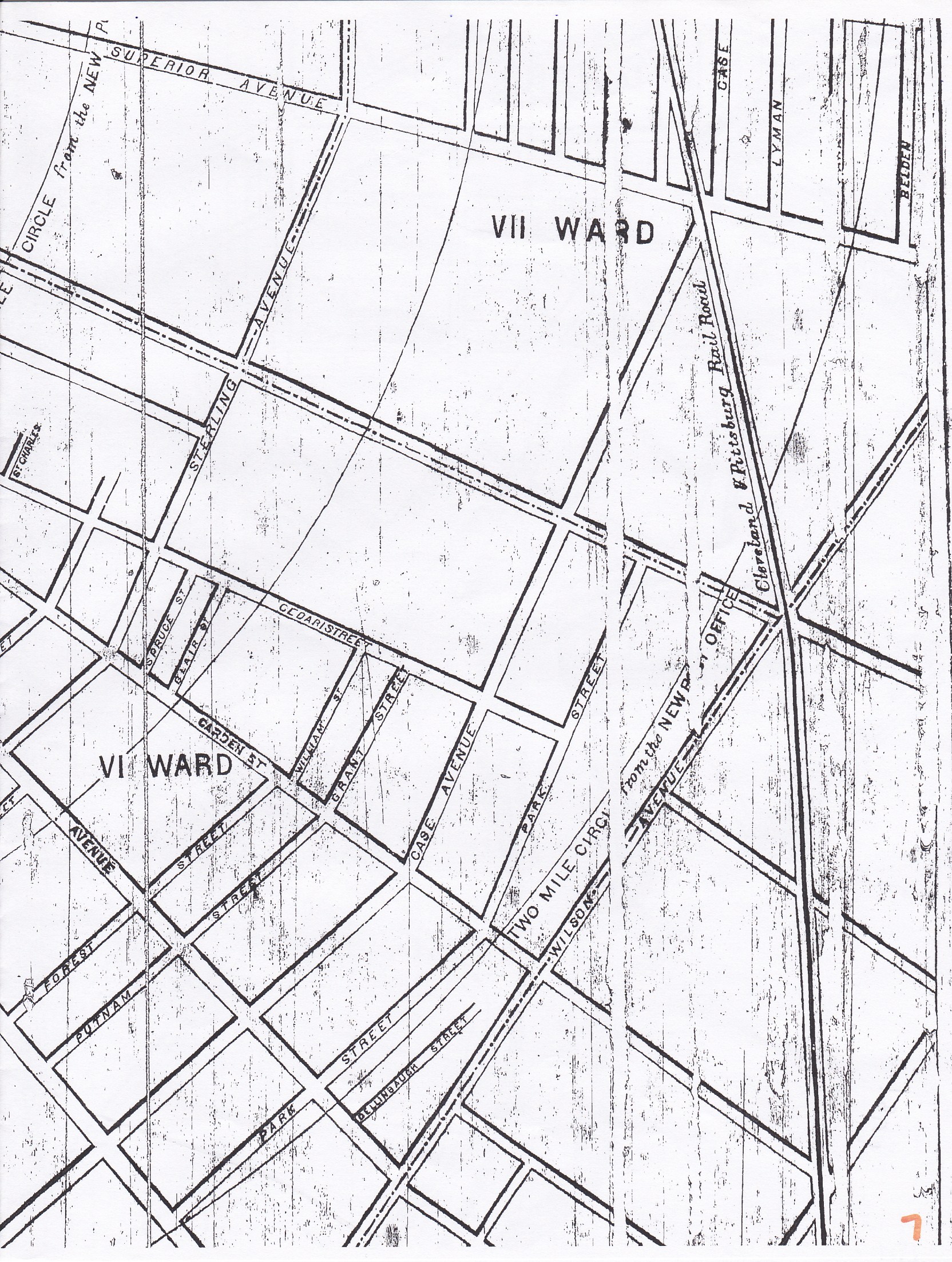
- 1861 Cleveland Map Main -- From City Directory
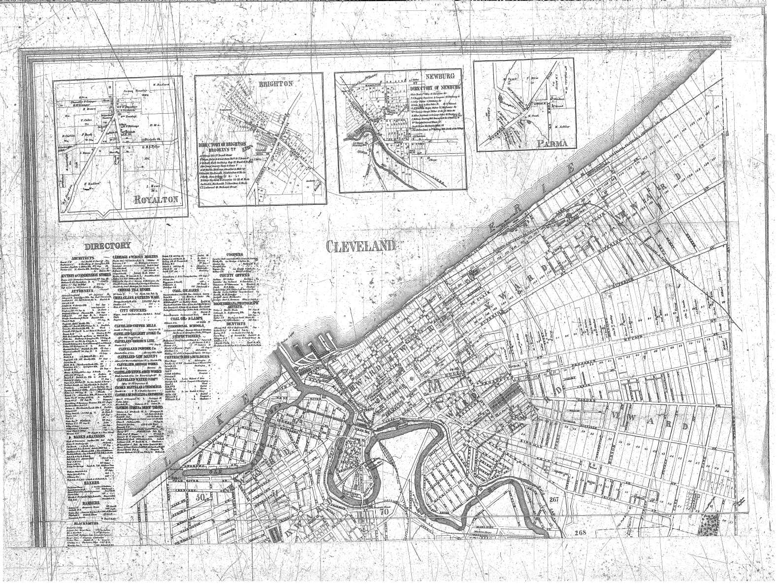
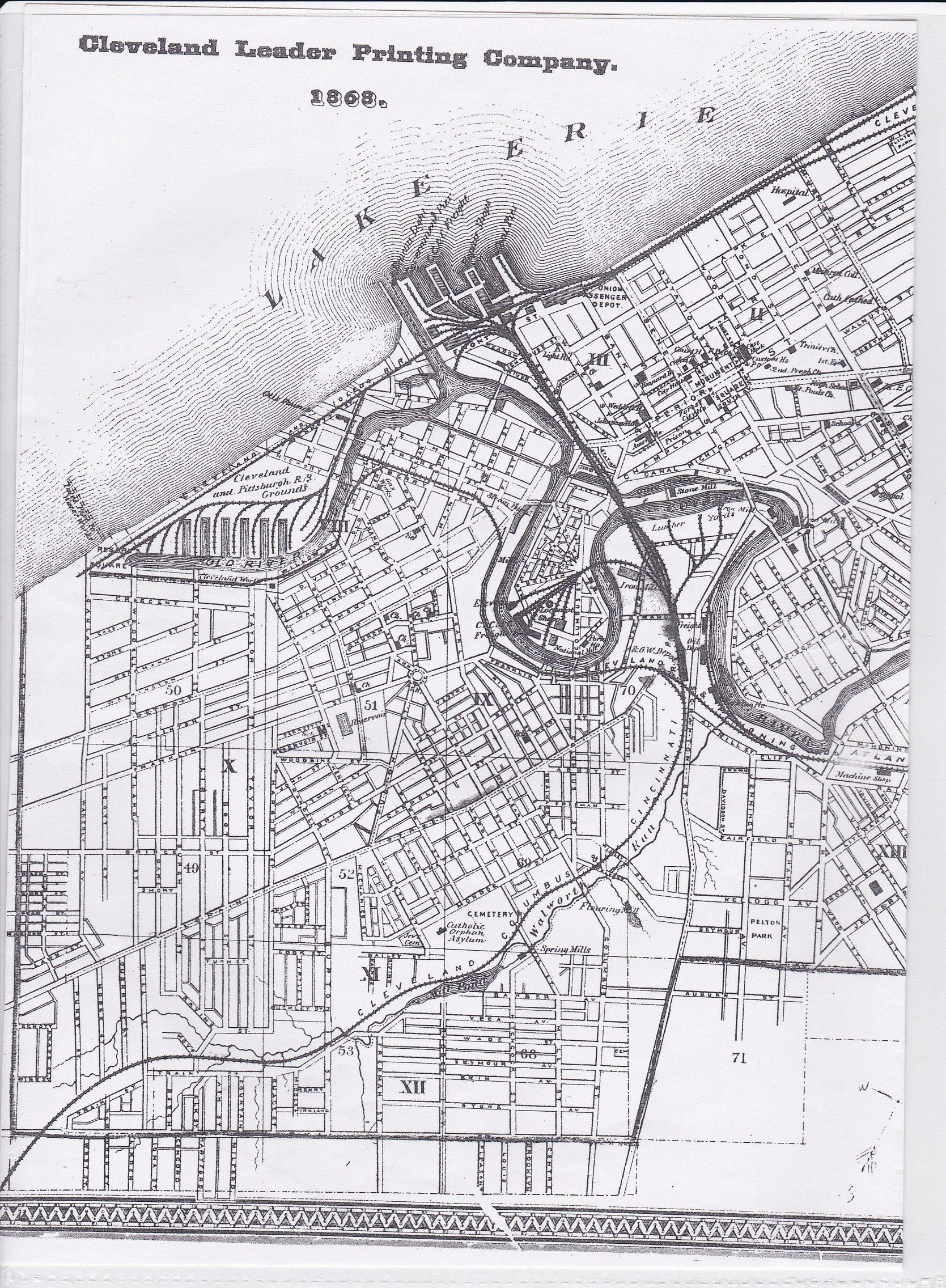
- 1868 Maps - Cleveland Leader Printing Company
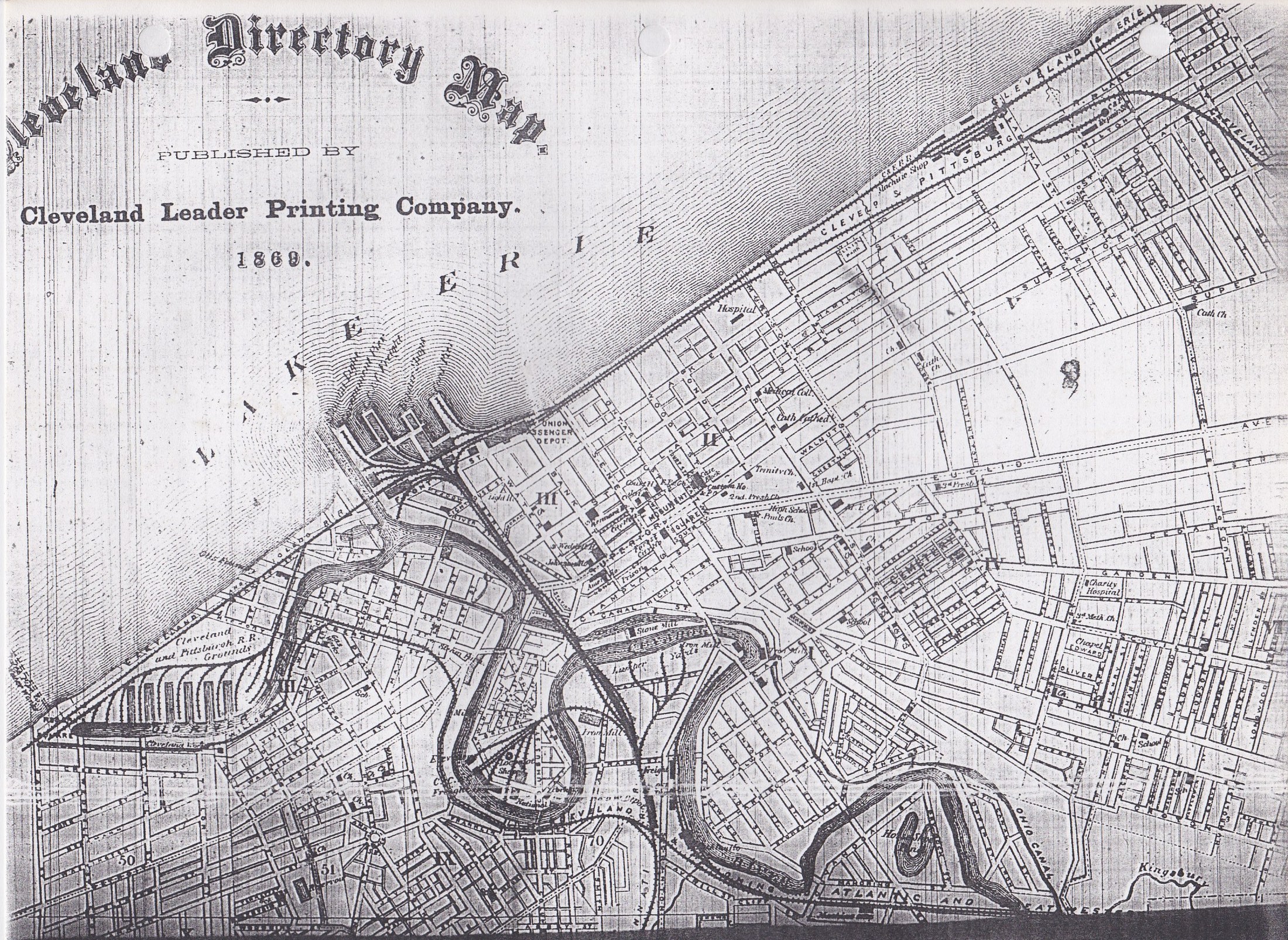
- 1869 Map - Cleveland City Directory Microfilm, Fairview Park Library
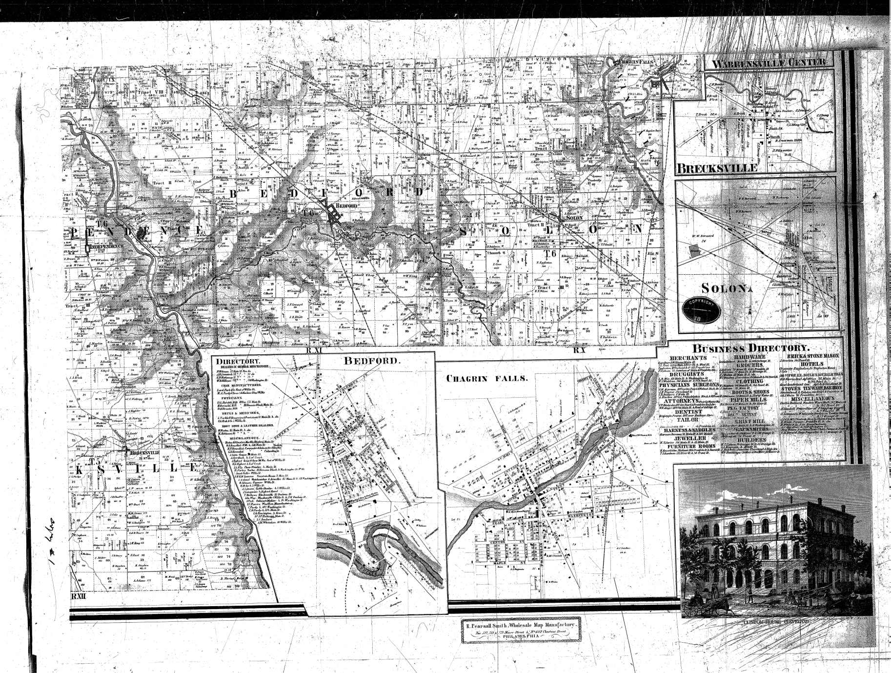
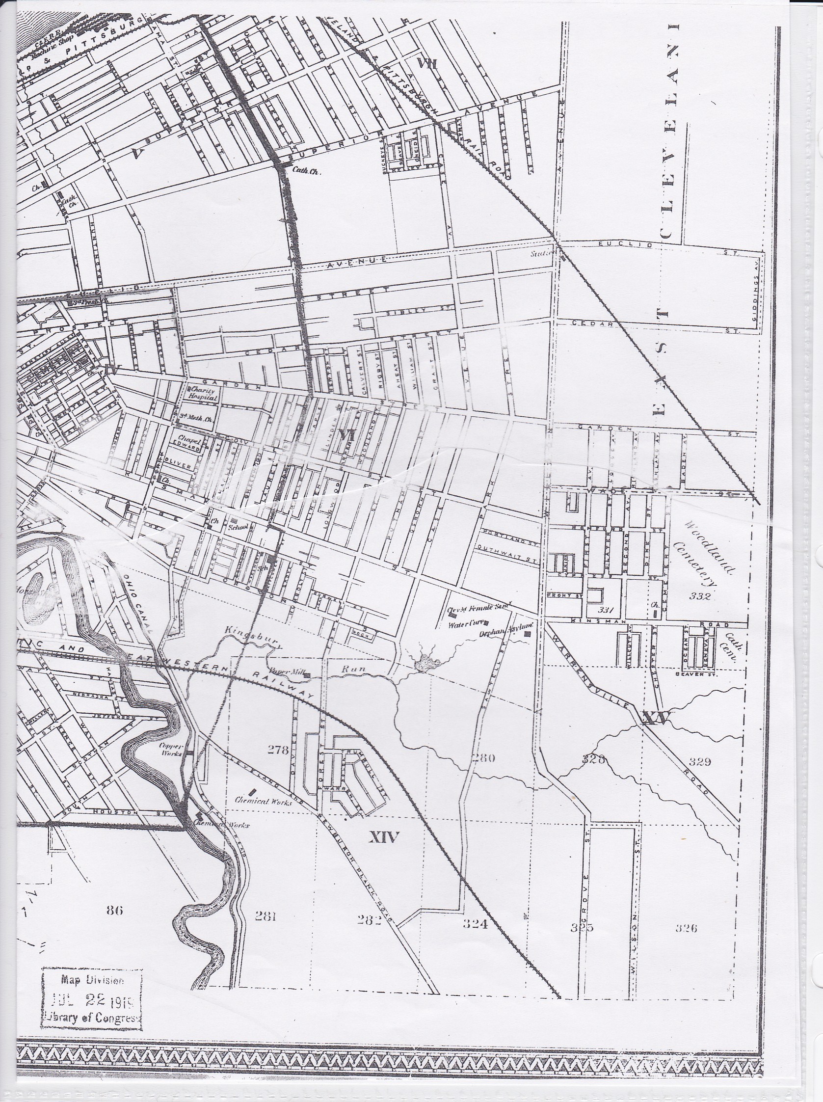
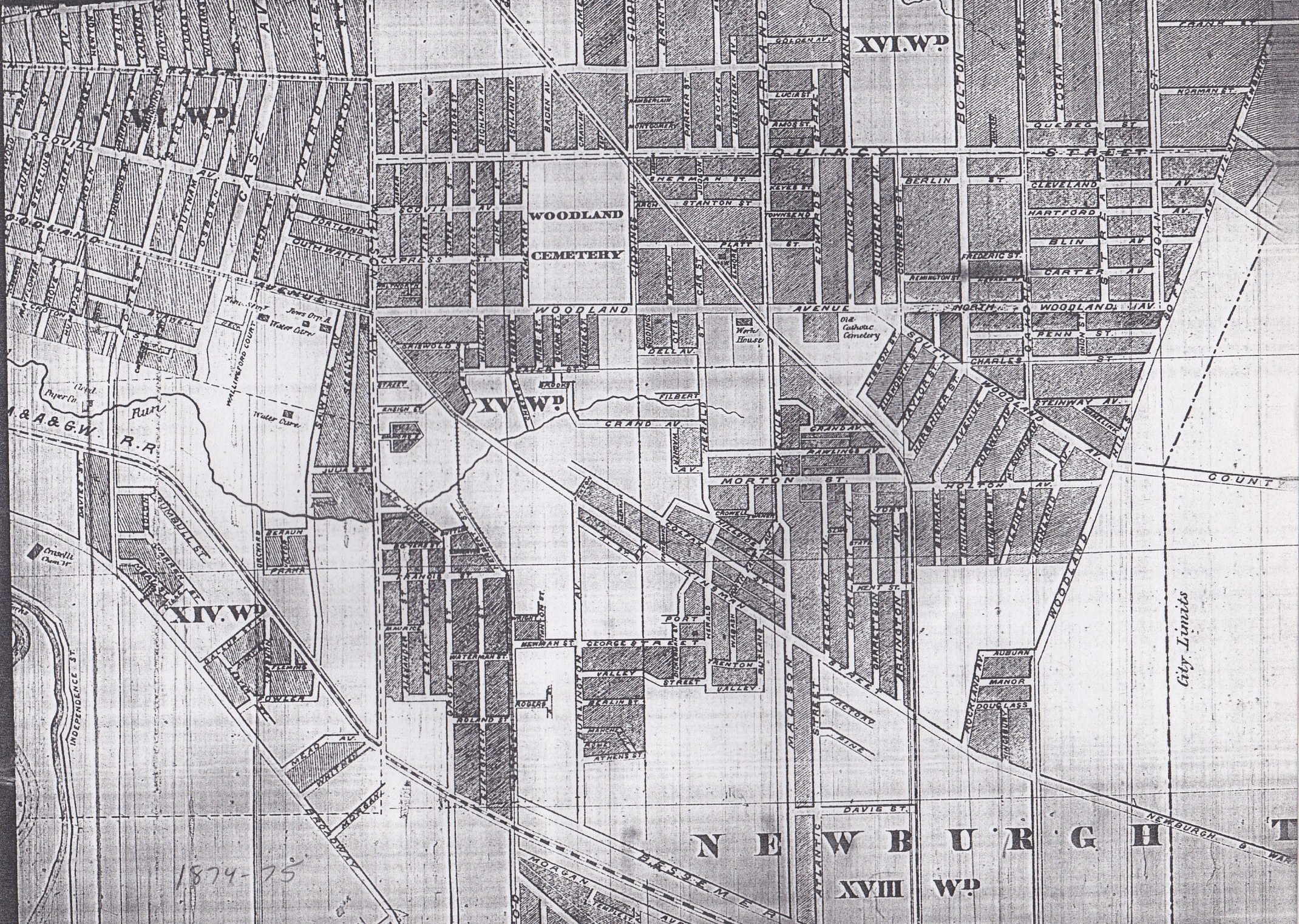
- 1874 Maps - Cuyahoga County Archive
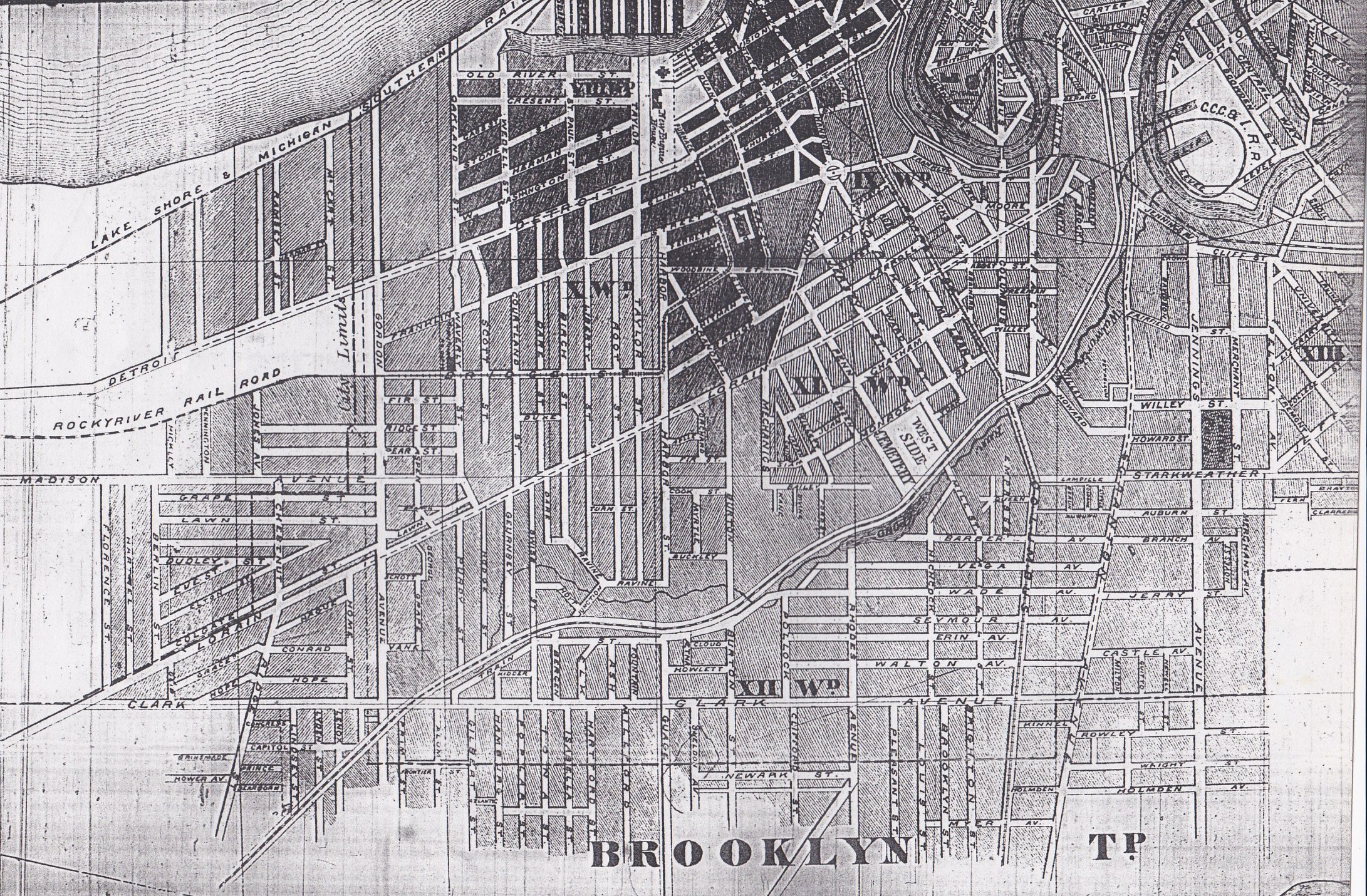
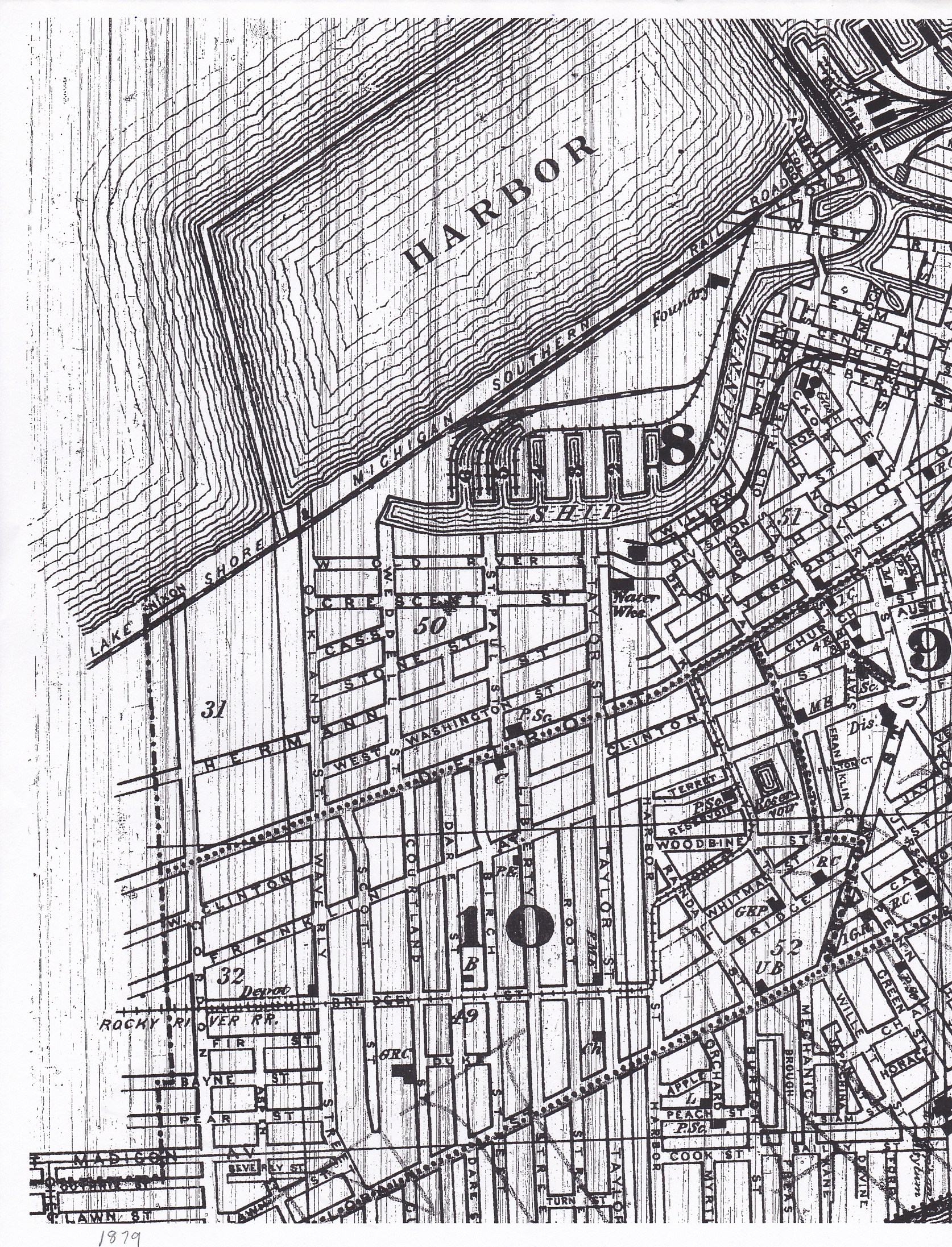
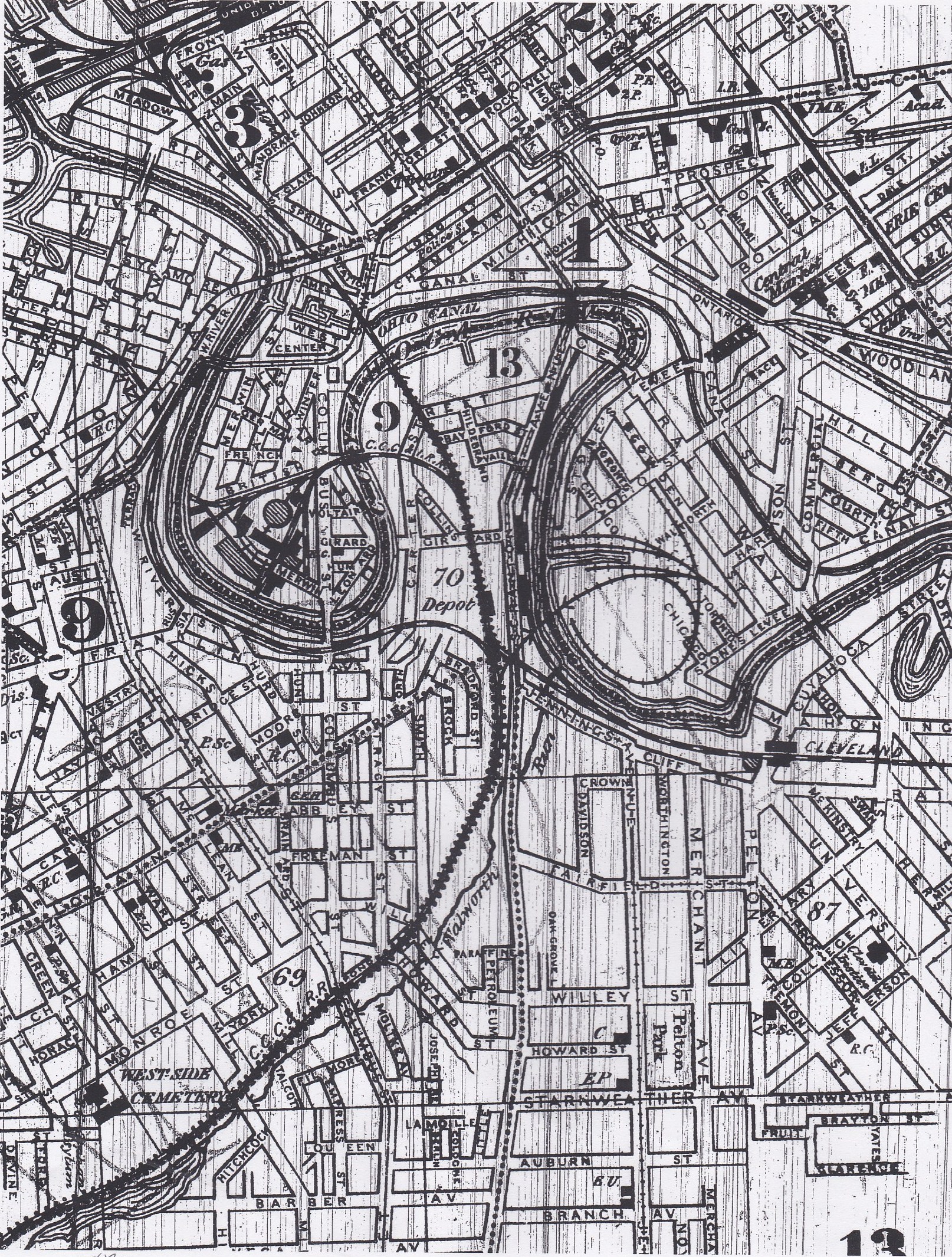
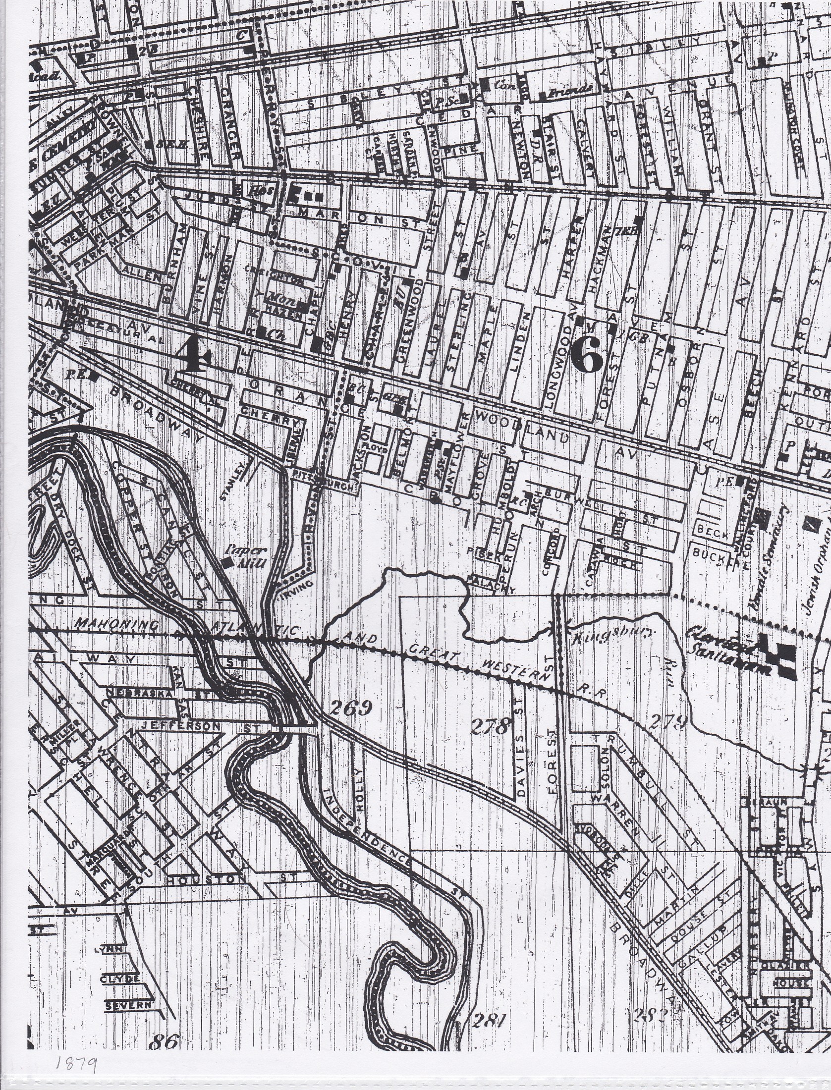
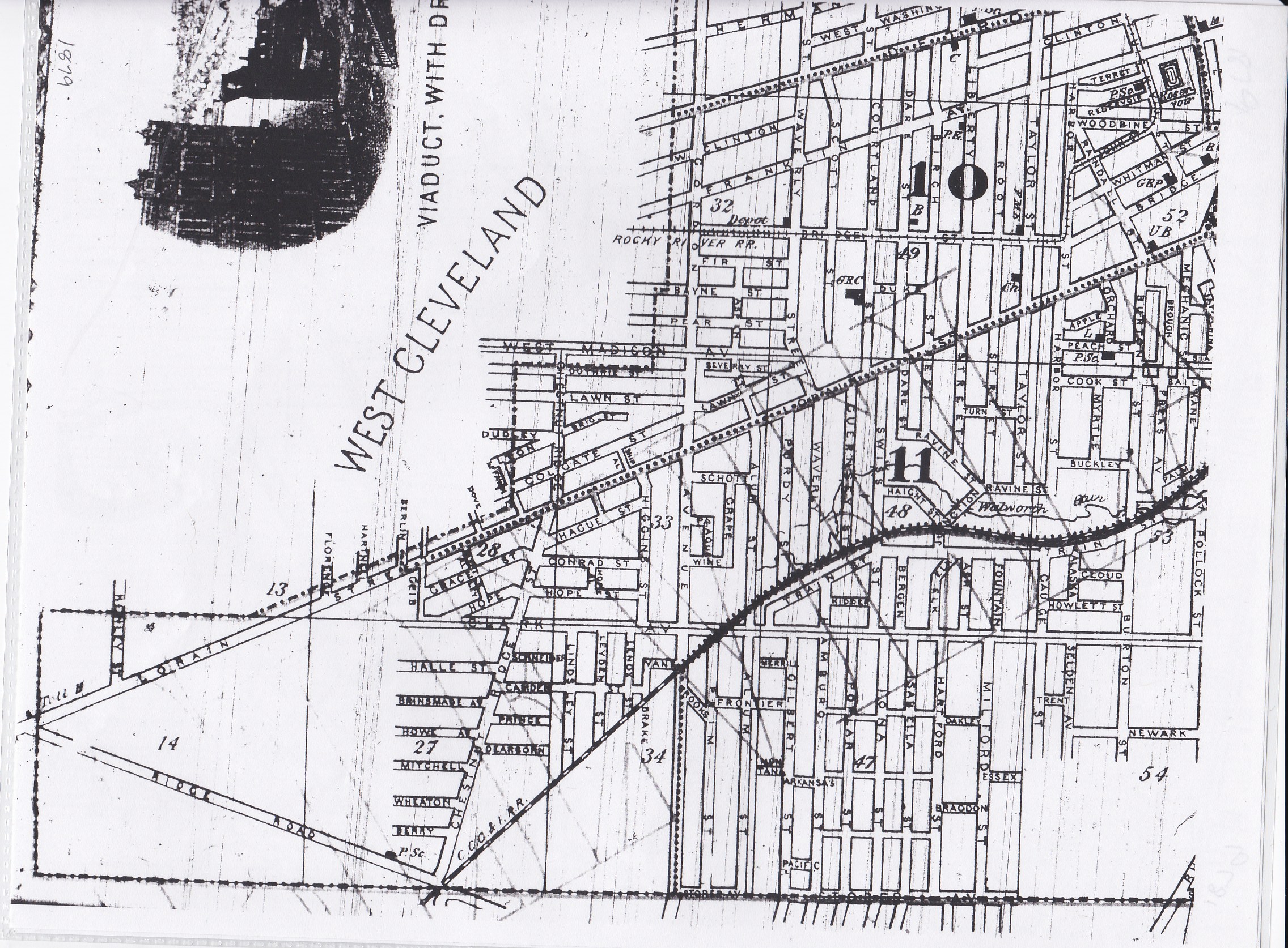
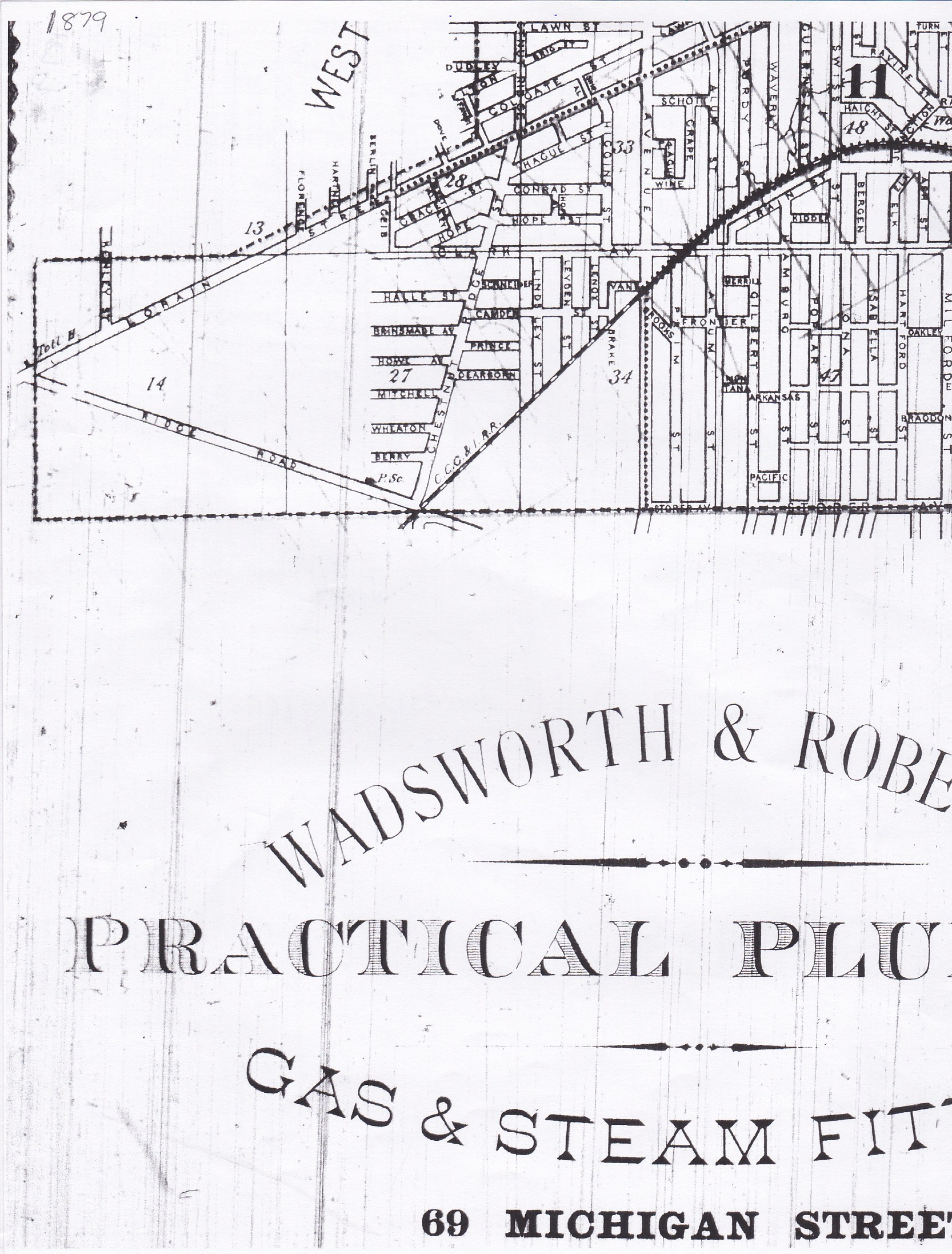
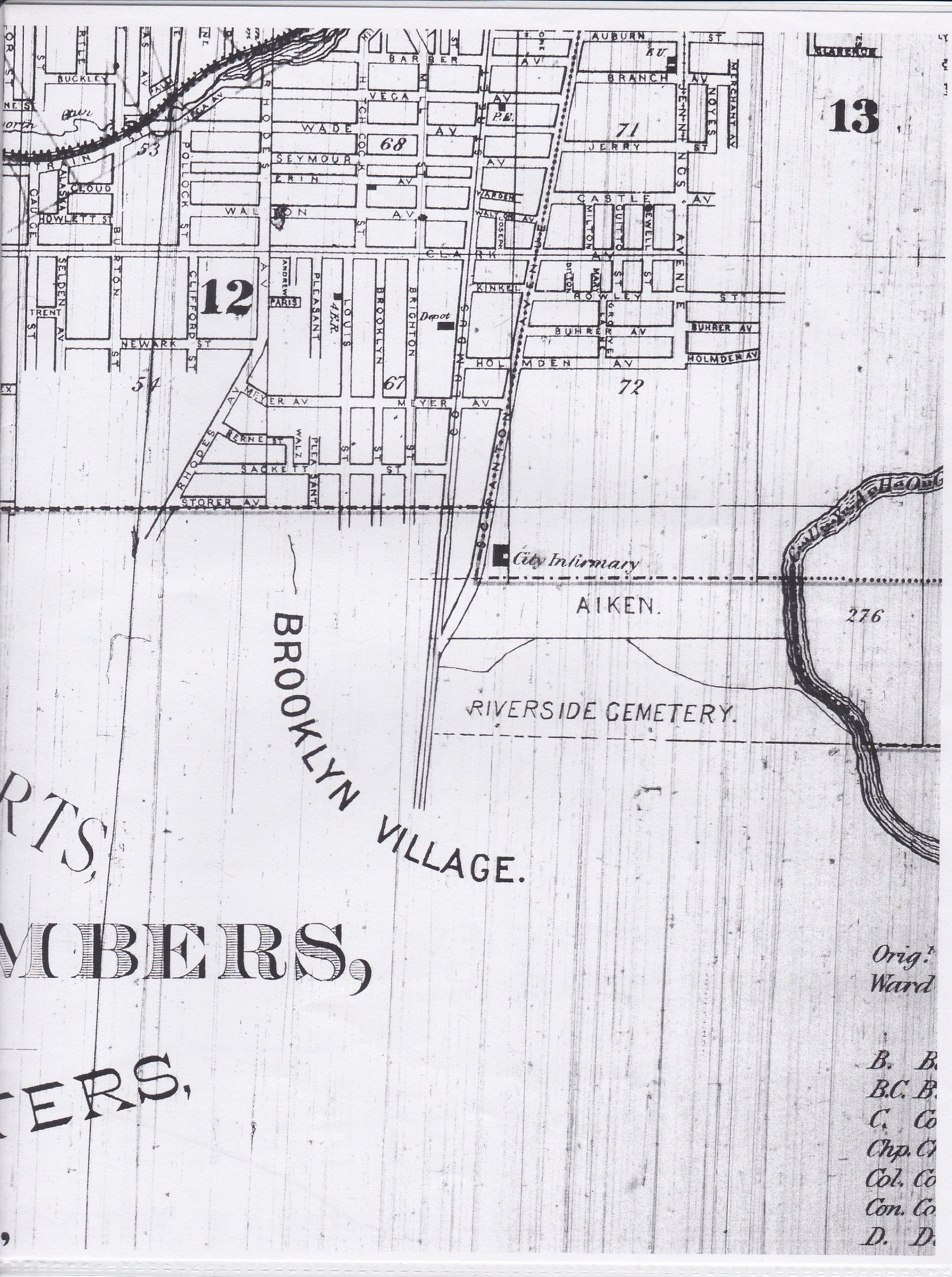
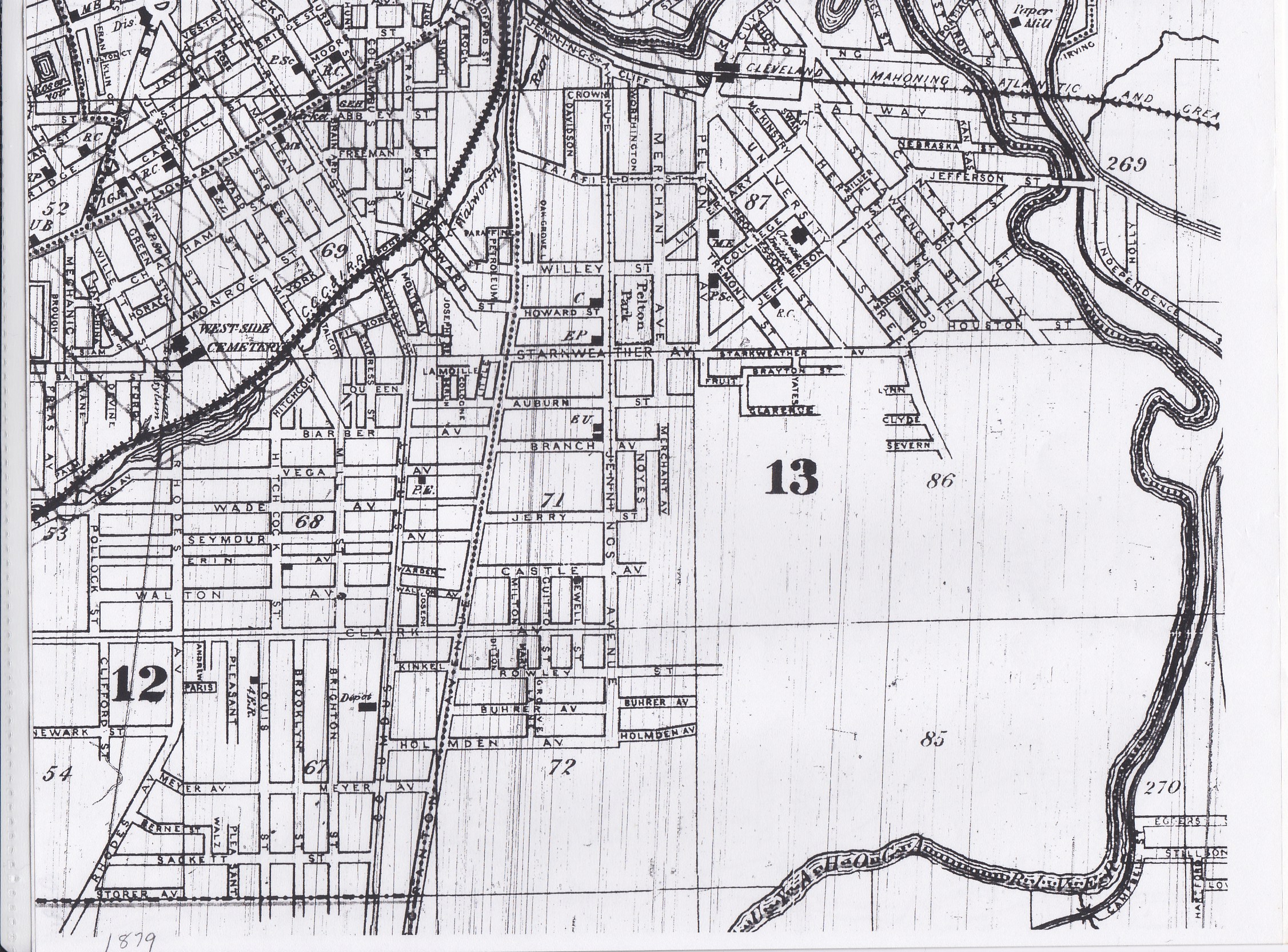
- 1879 Maps - Cleveland City Directory Microfilm, Fairview Park Library
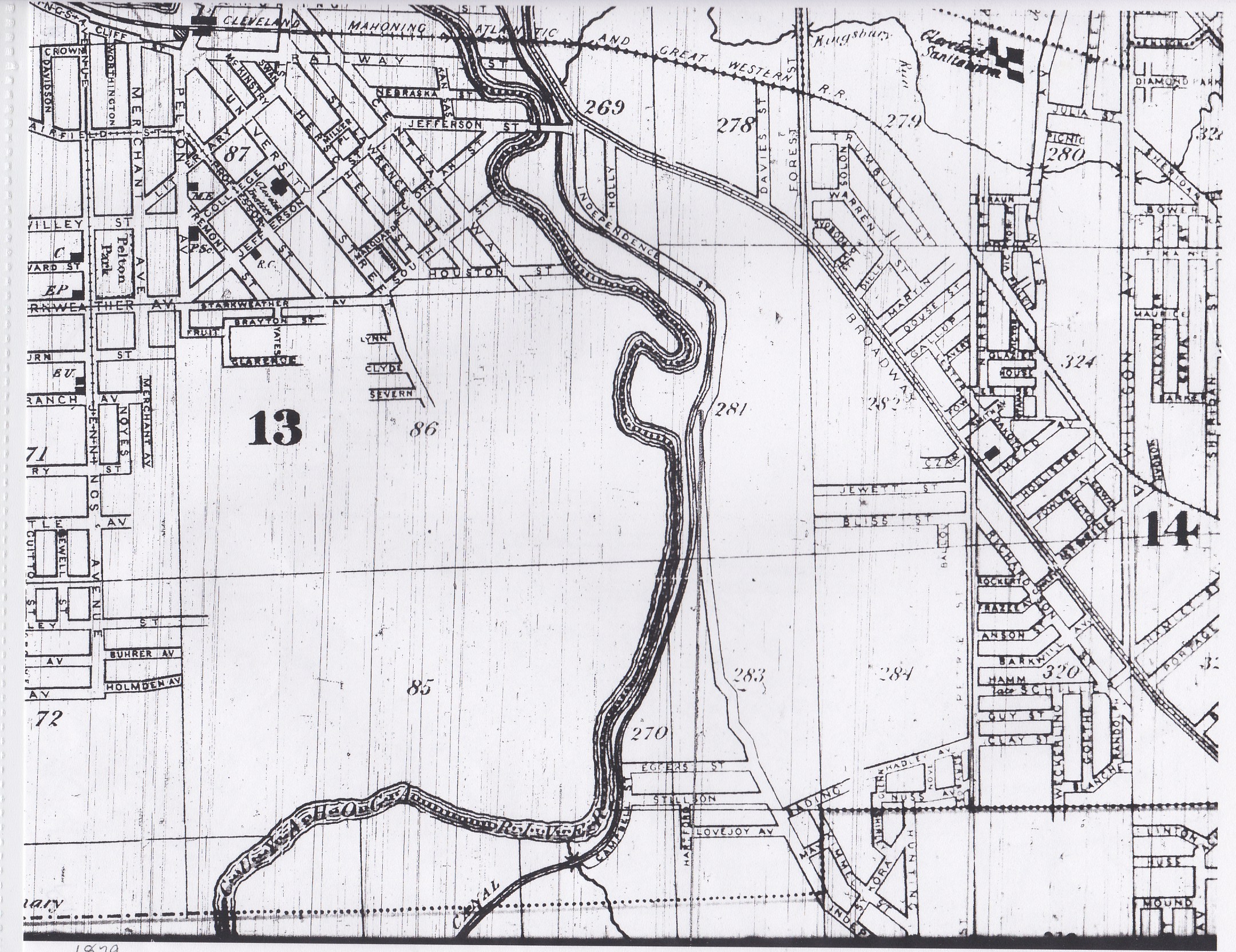
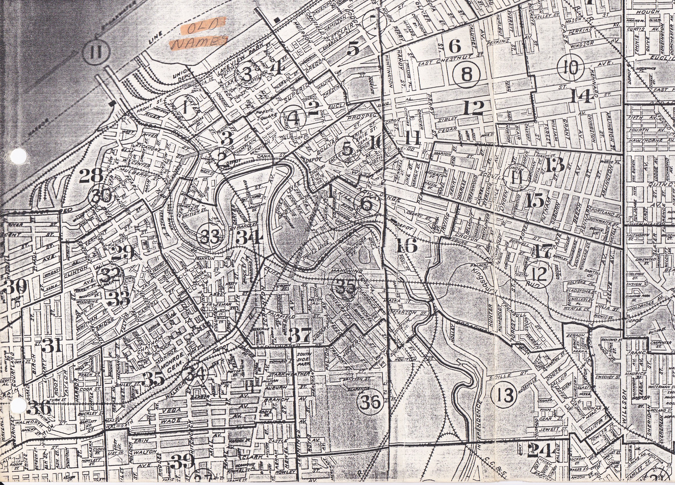
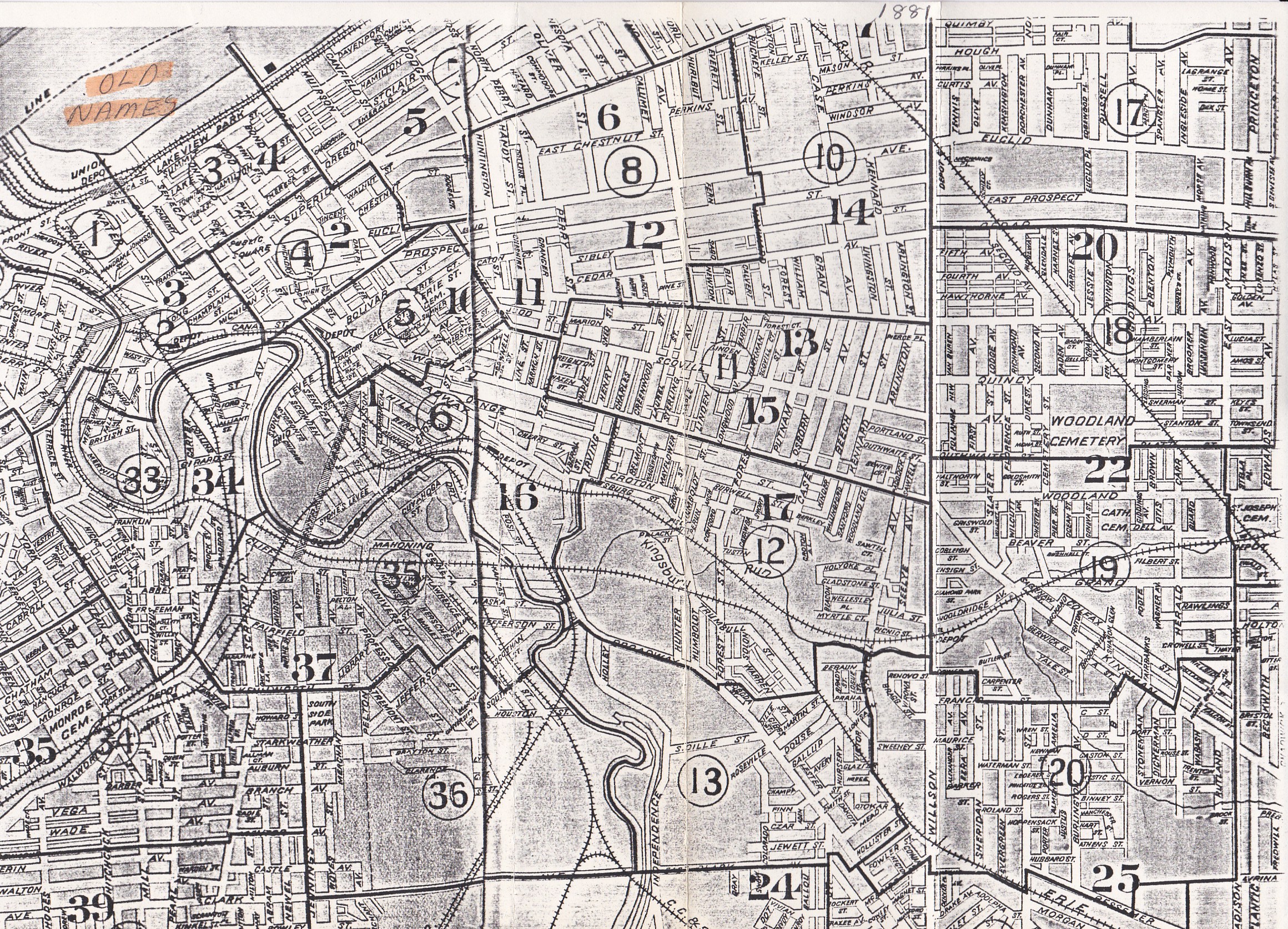
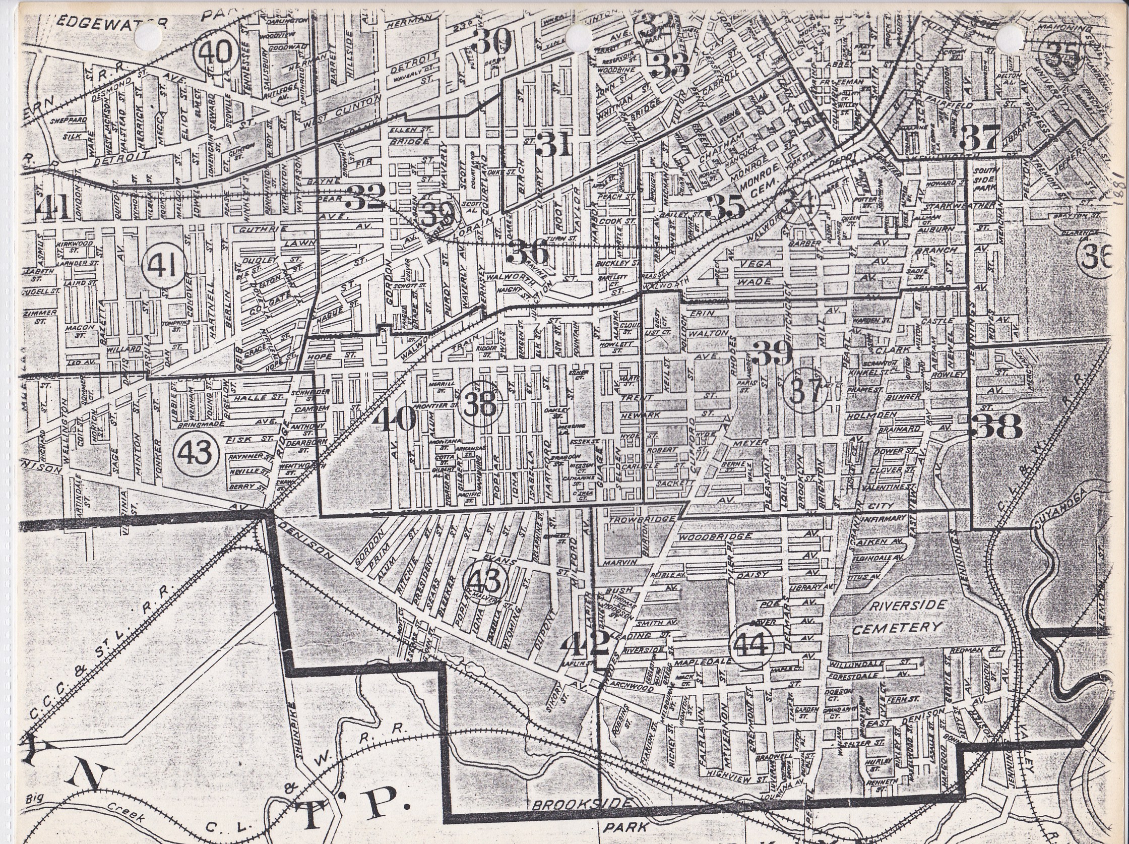
- 1881 Cleveland Maps - Cuyahoga County Archives
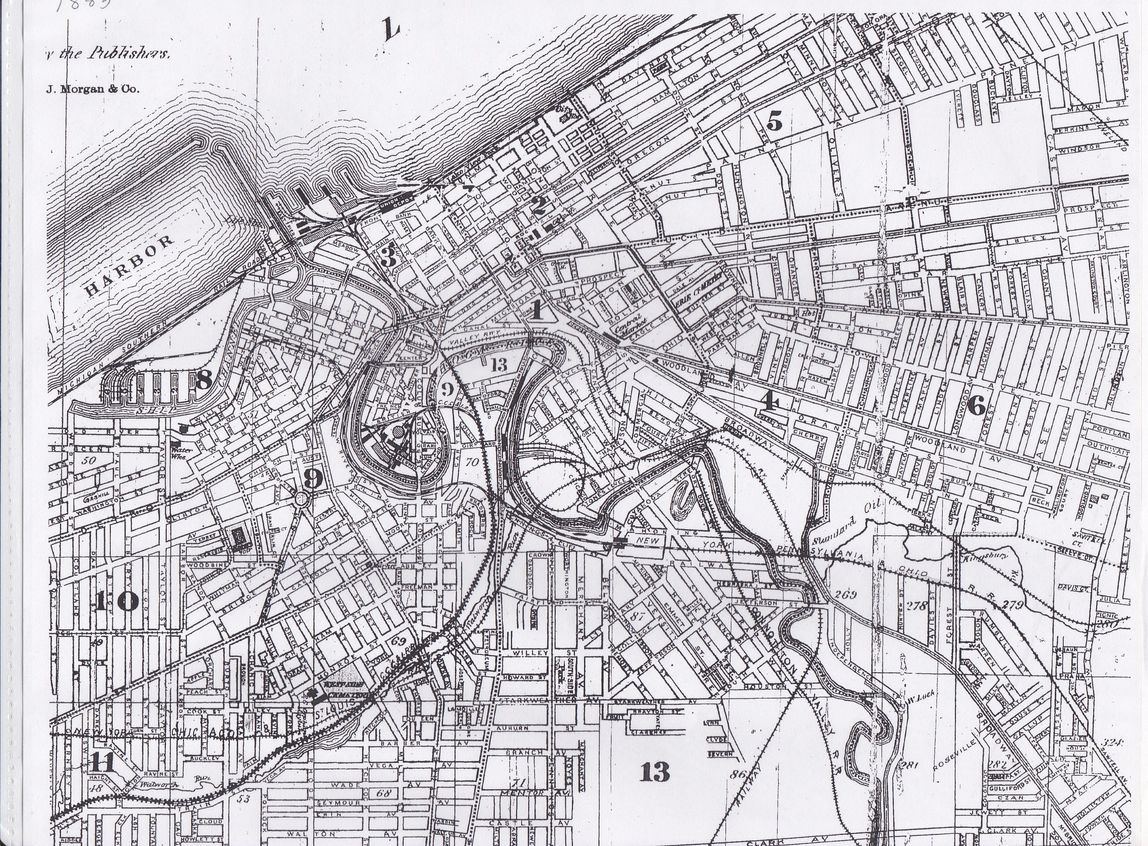
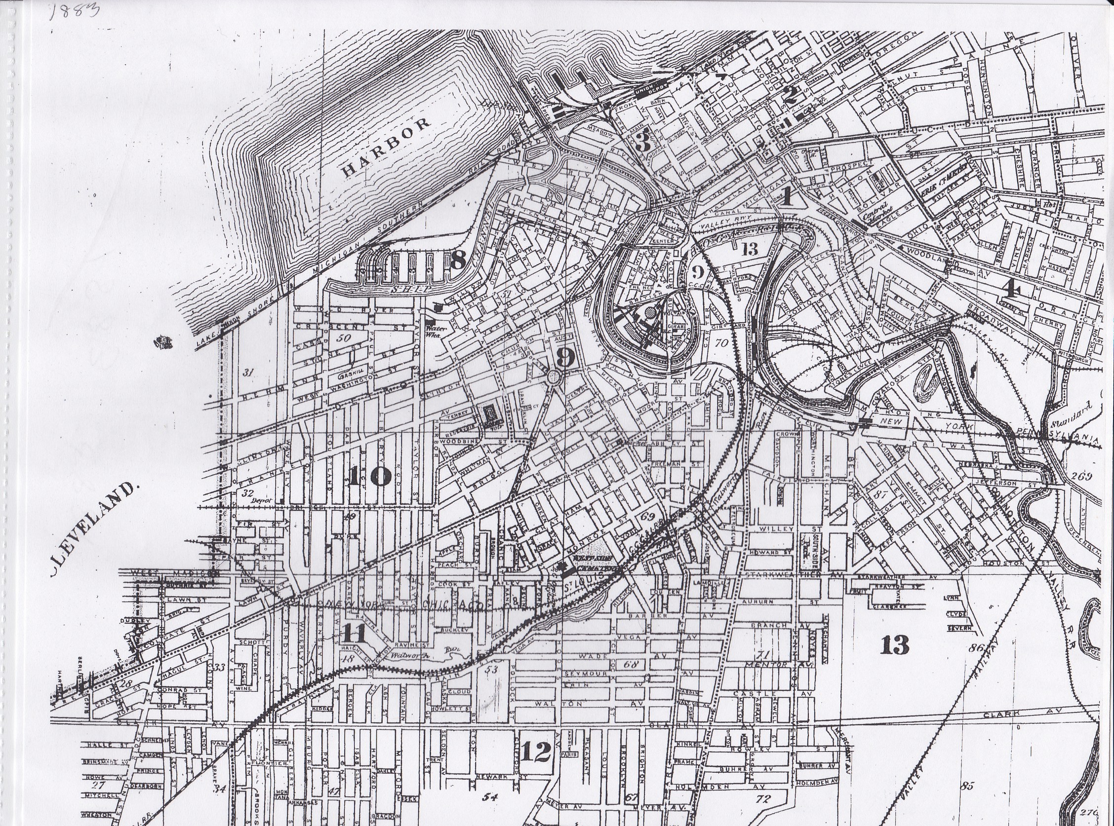
- 1883 Maps - Cleveland City Directory Microfilm, Fairview Park Library
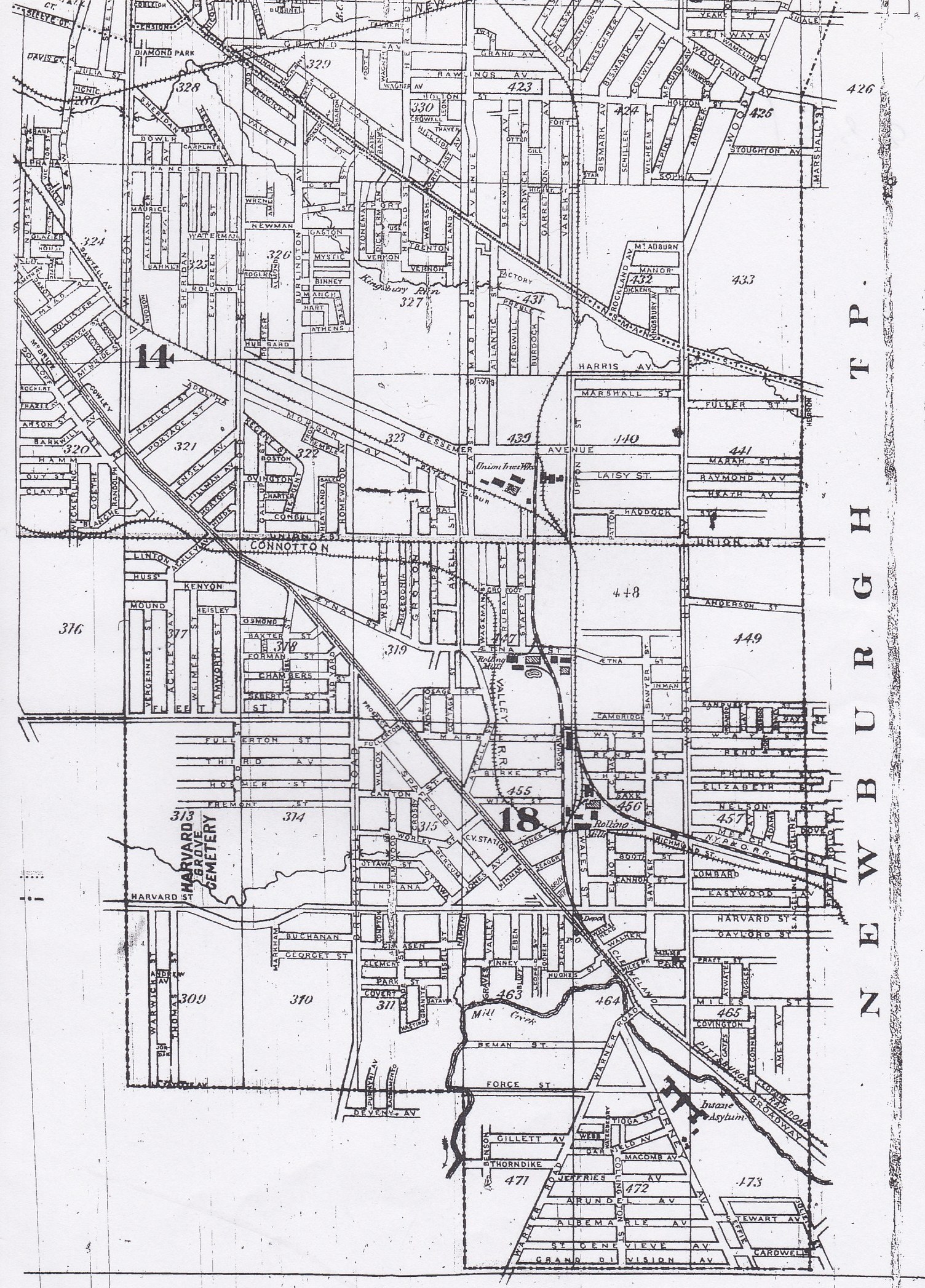
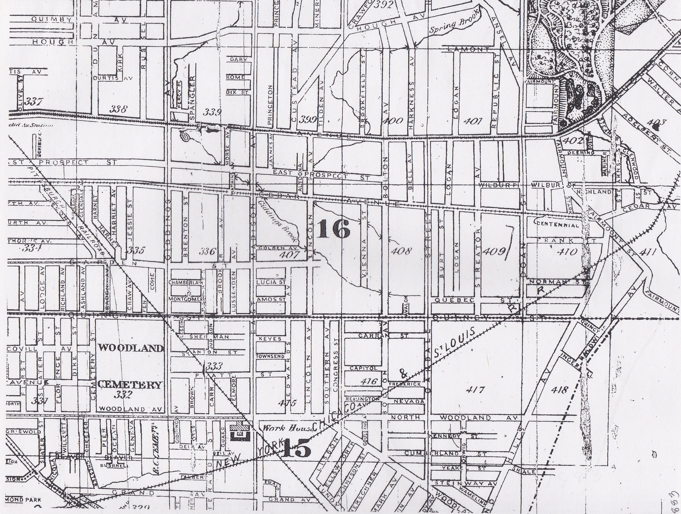
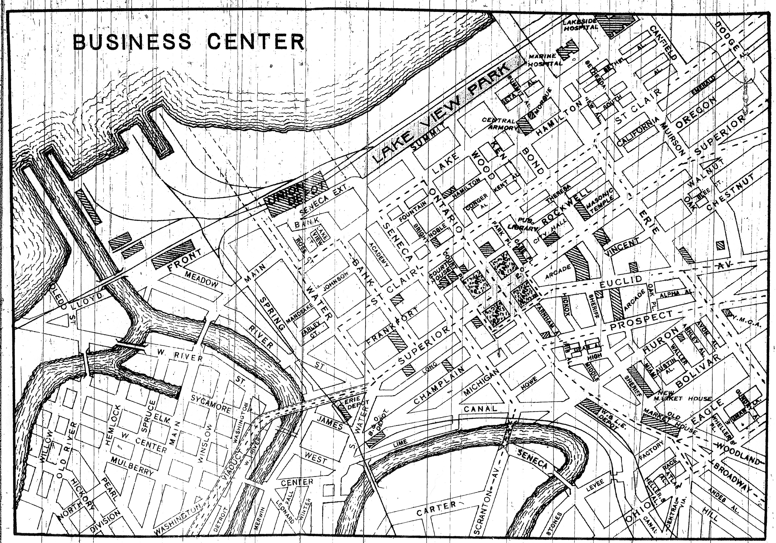
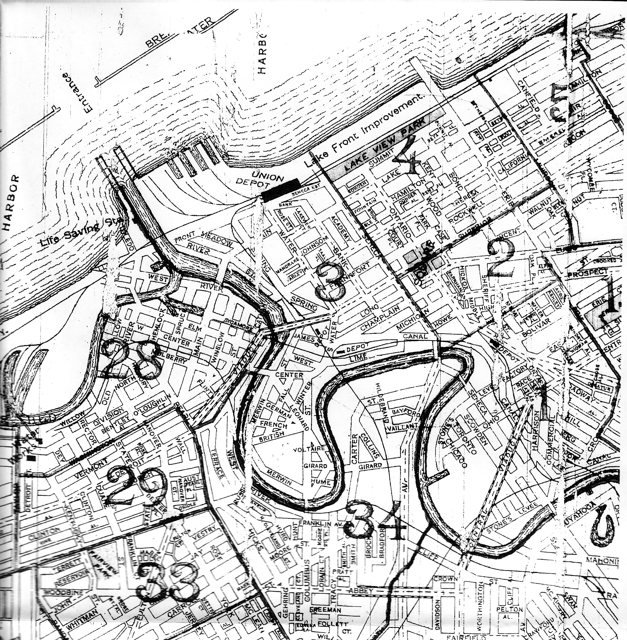
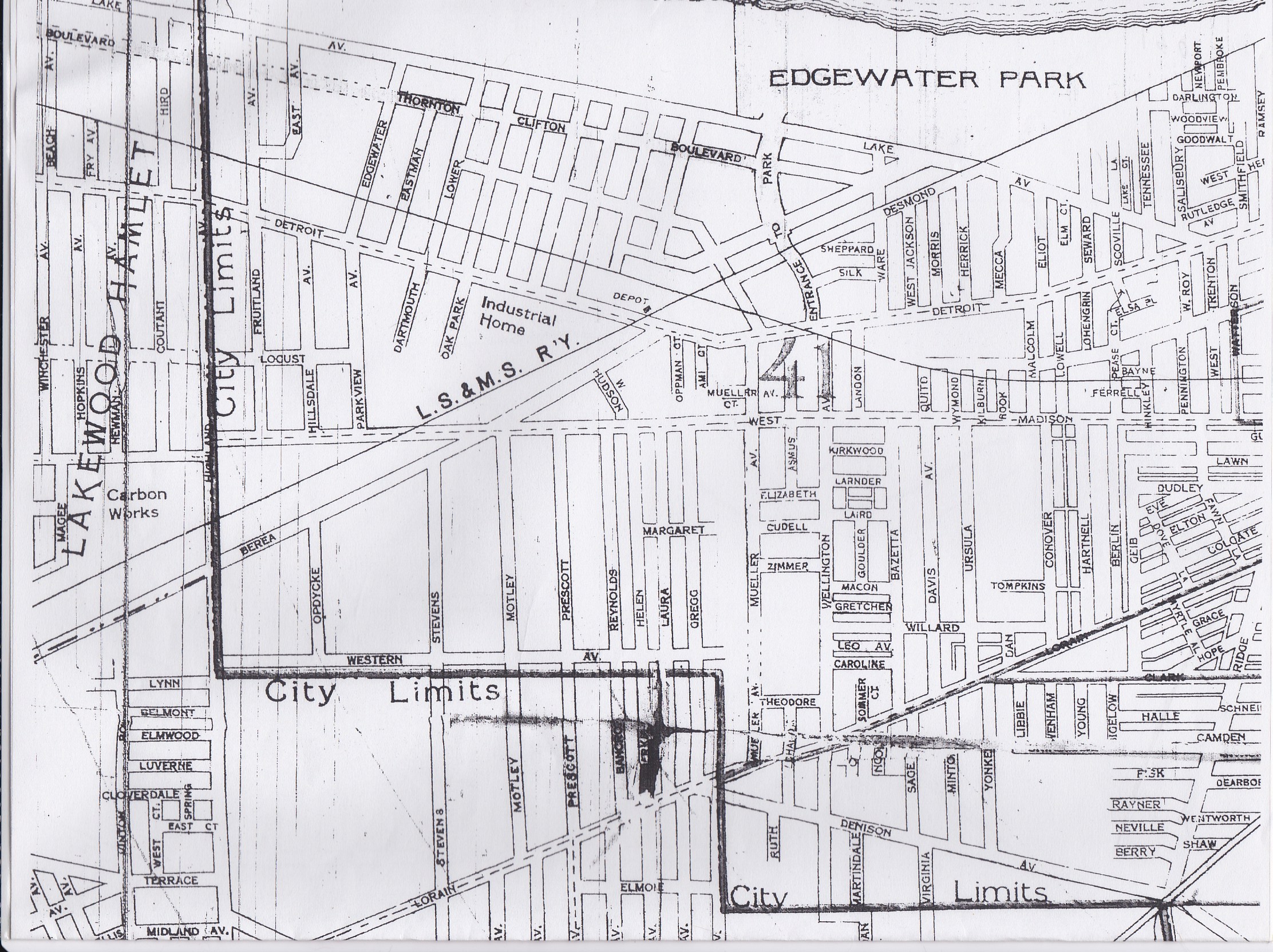
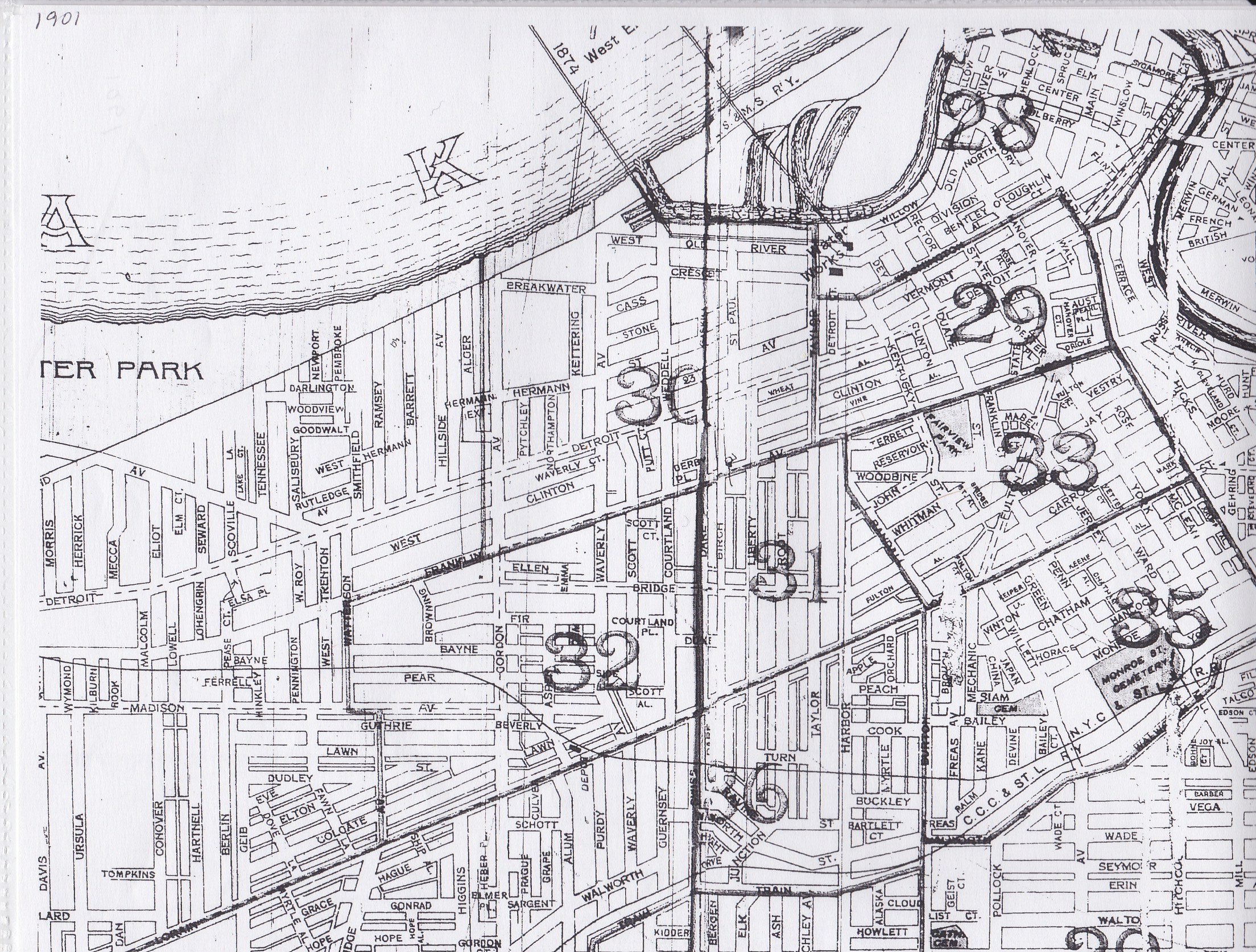
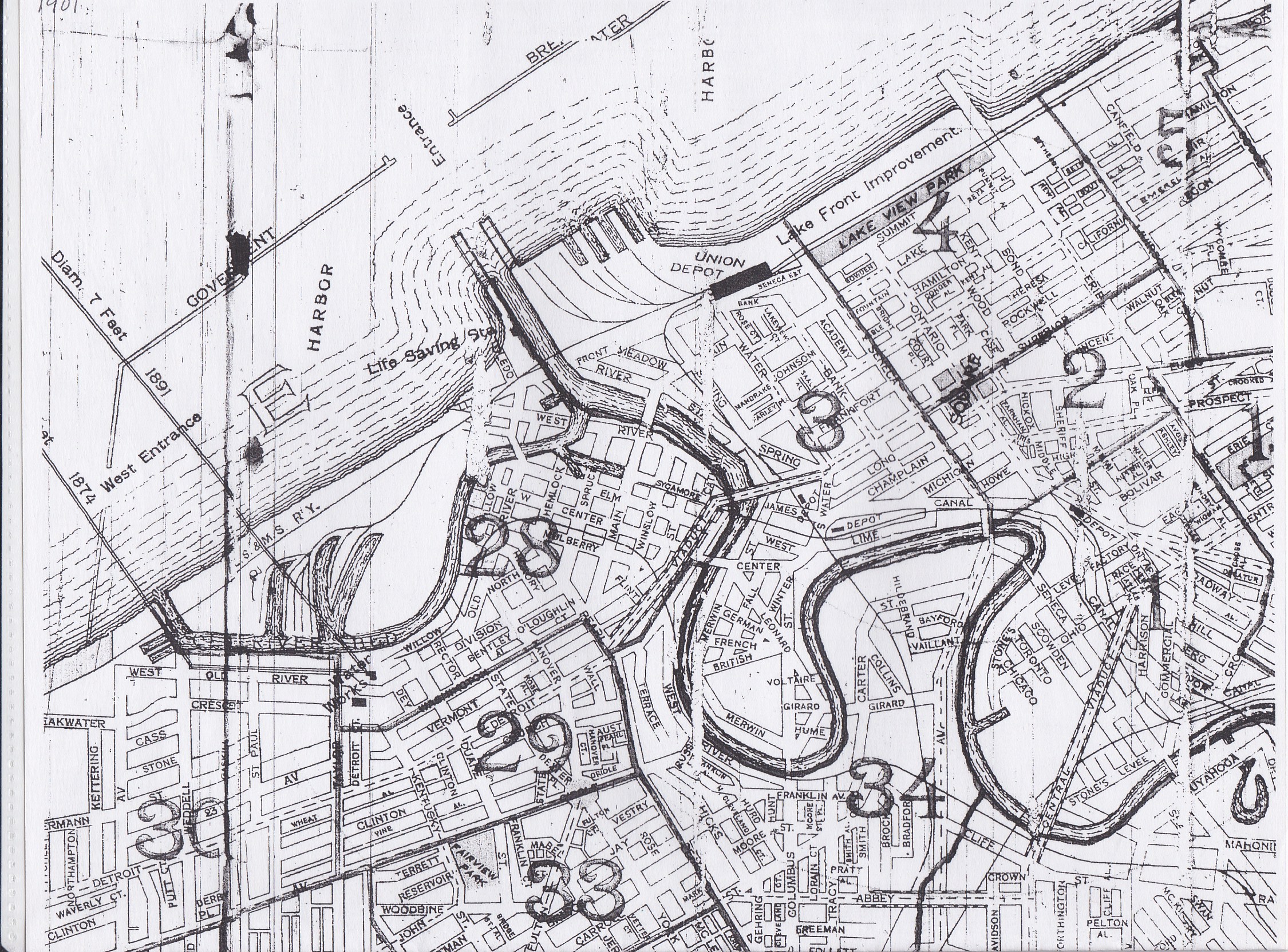
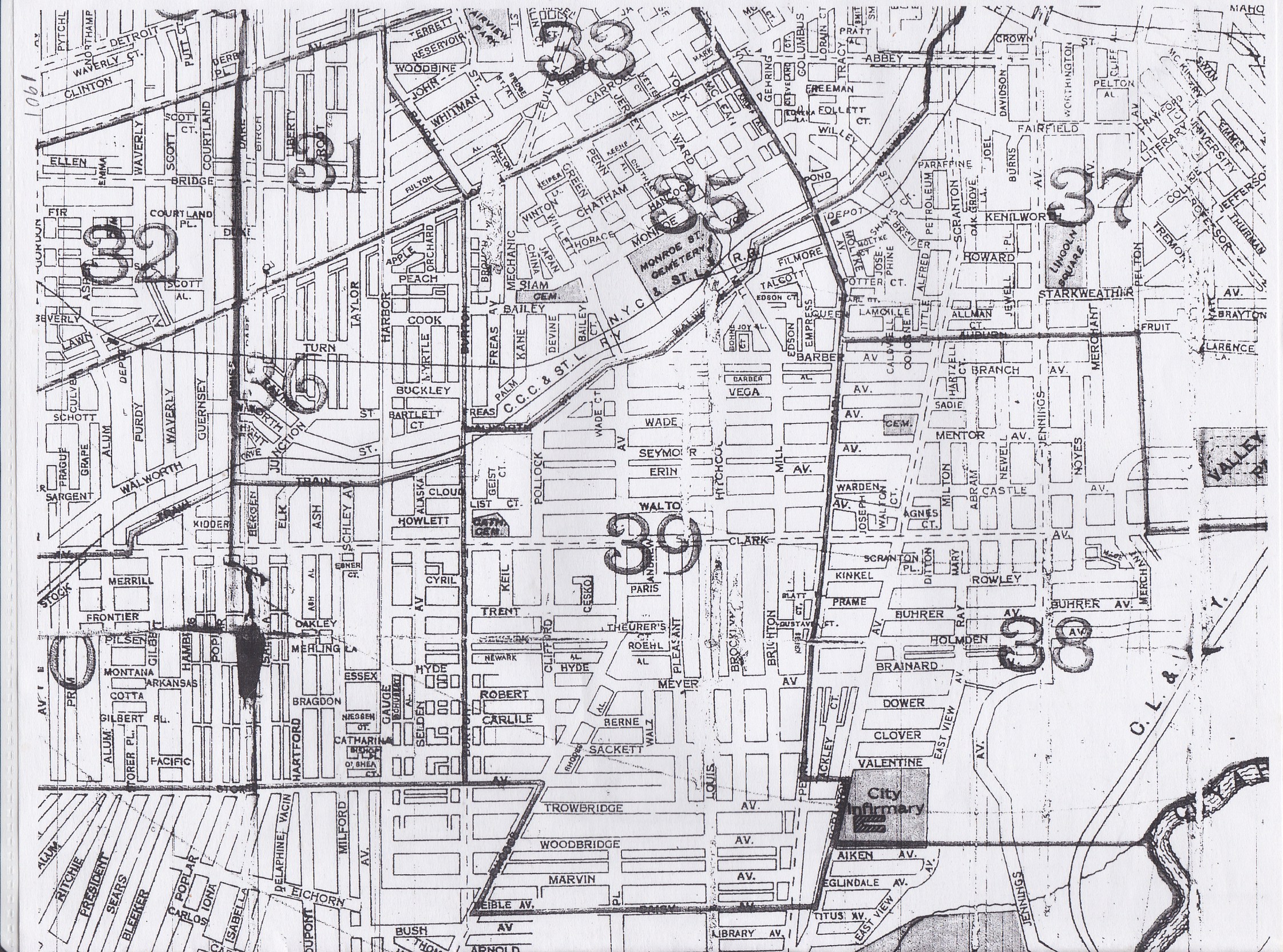
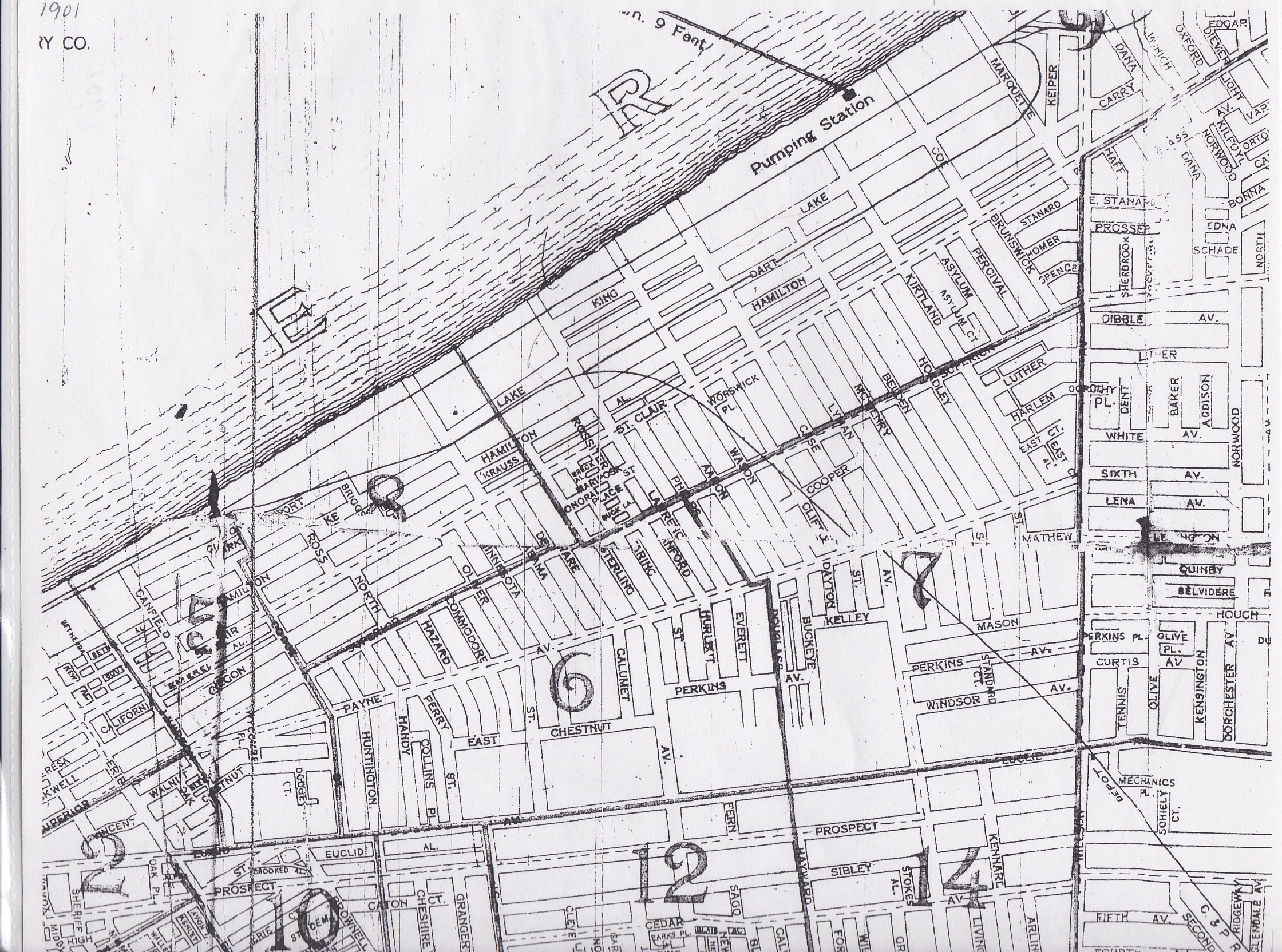
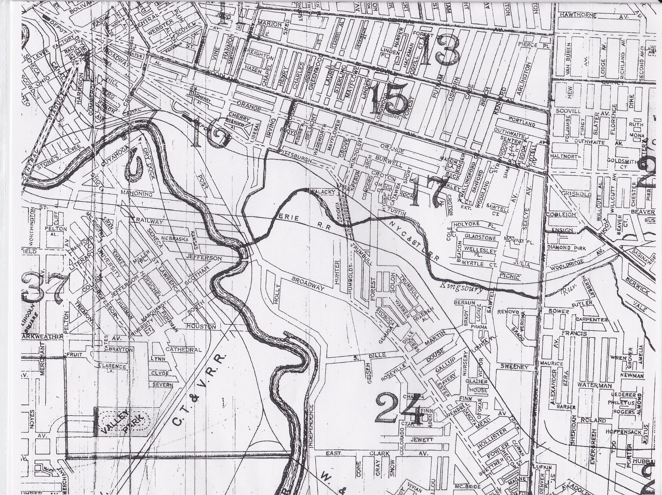
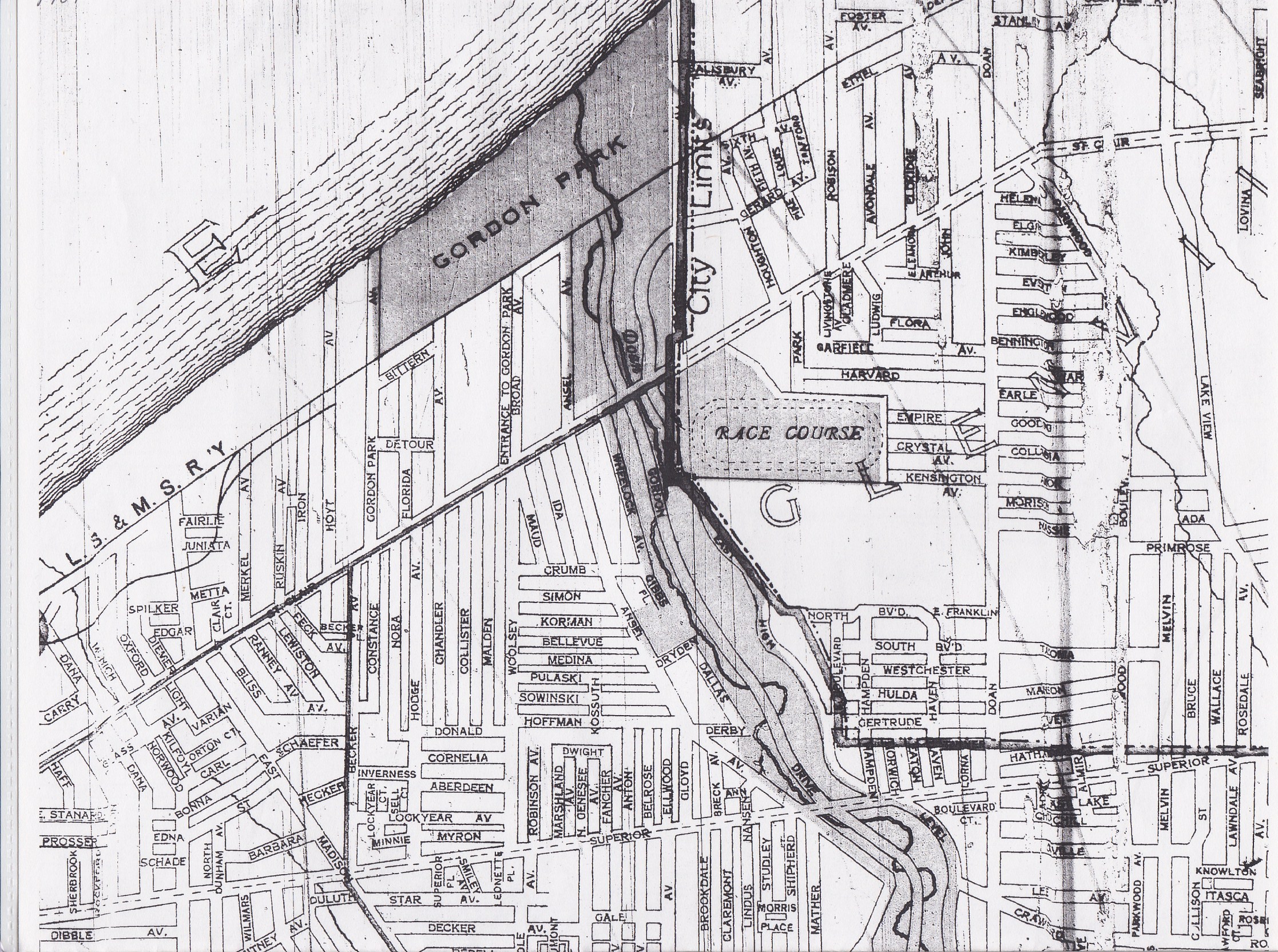
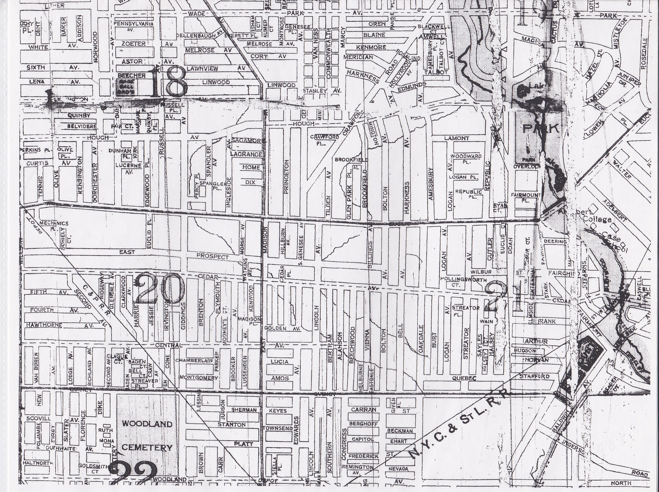
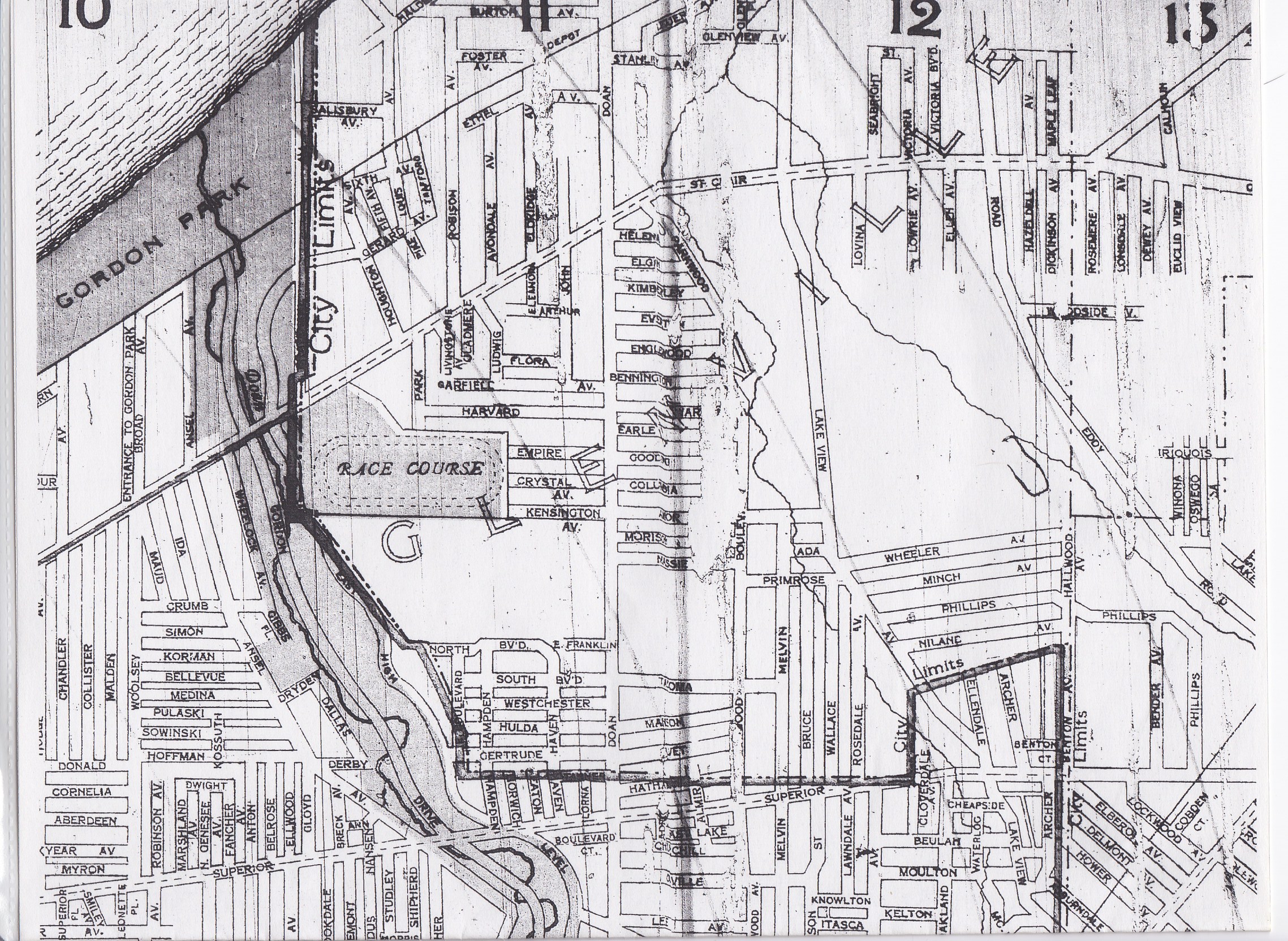
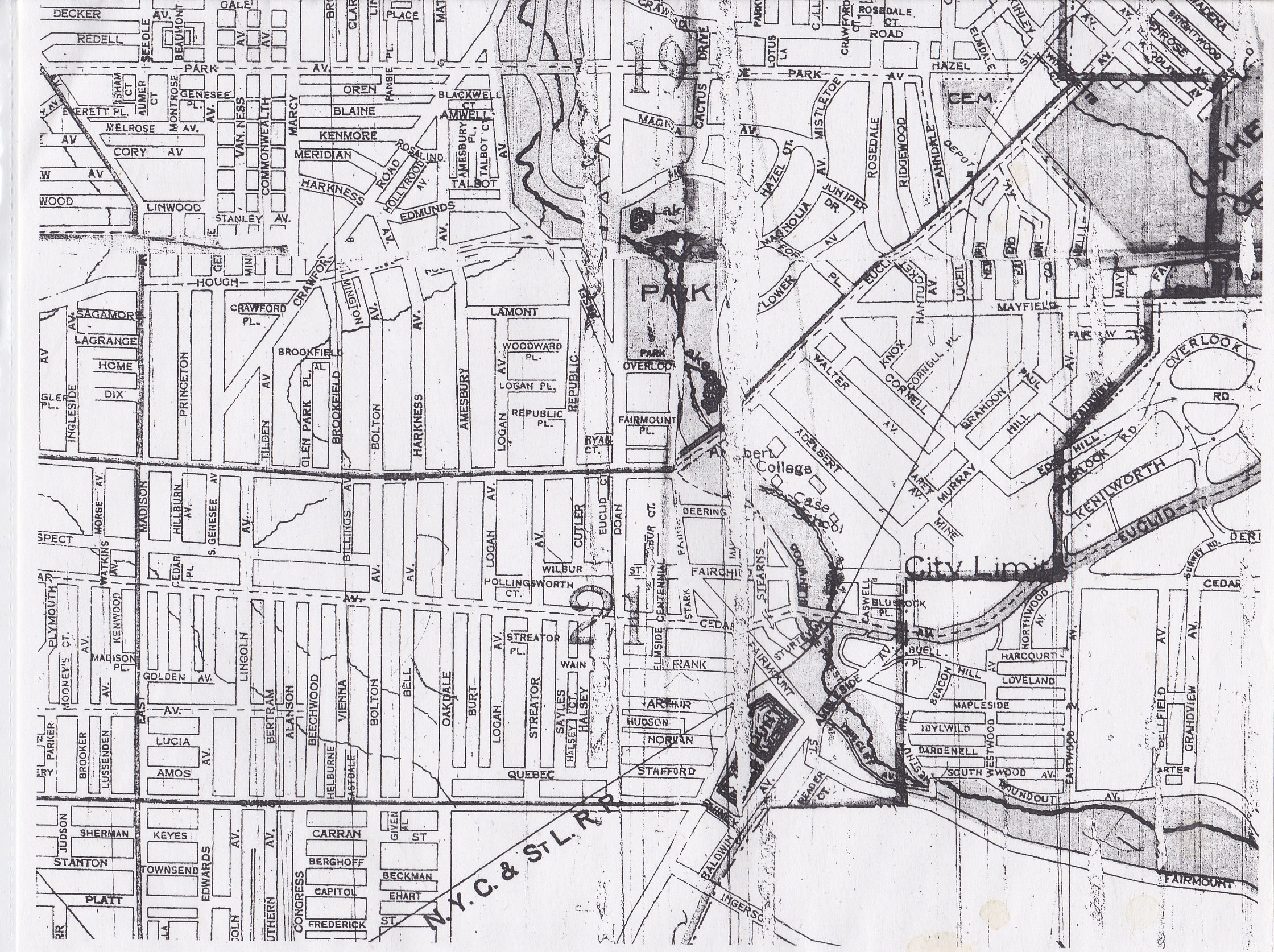
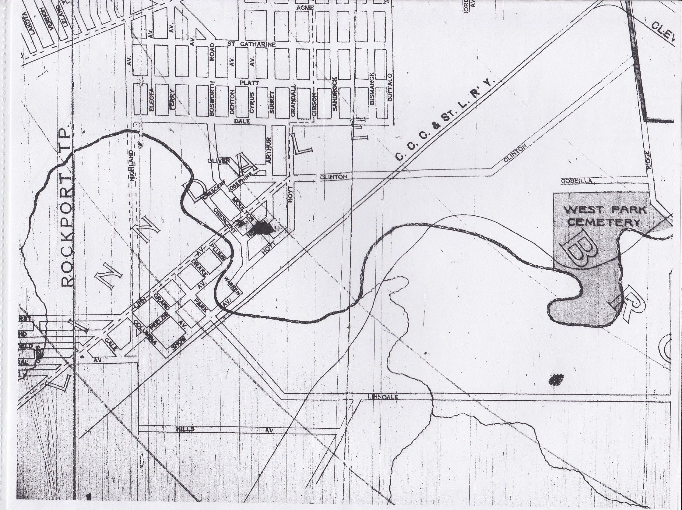
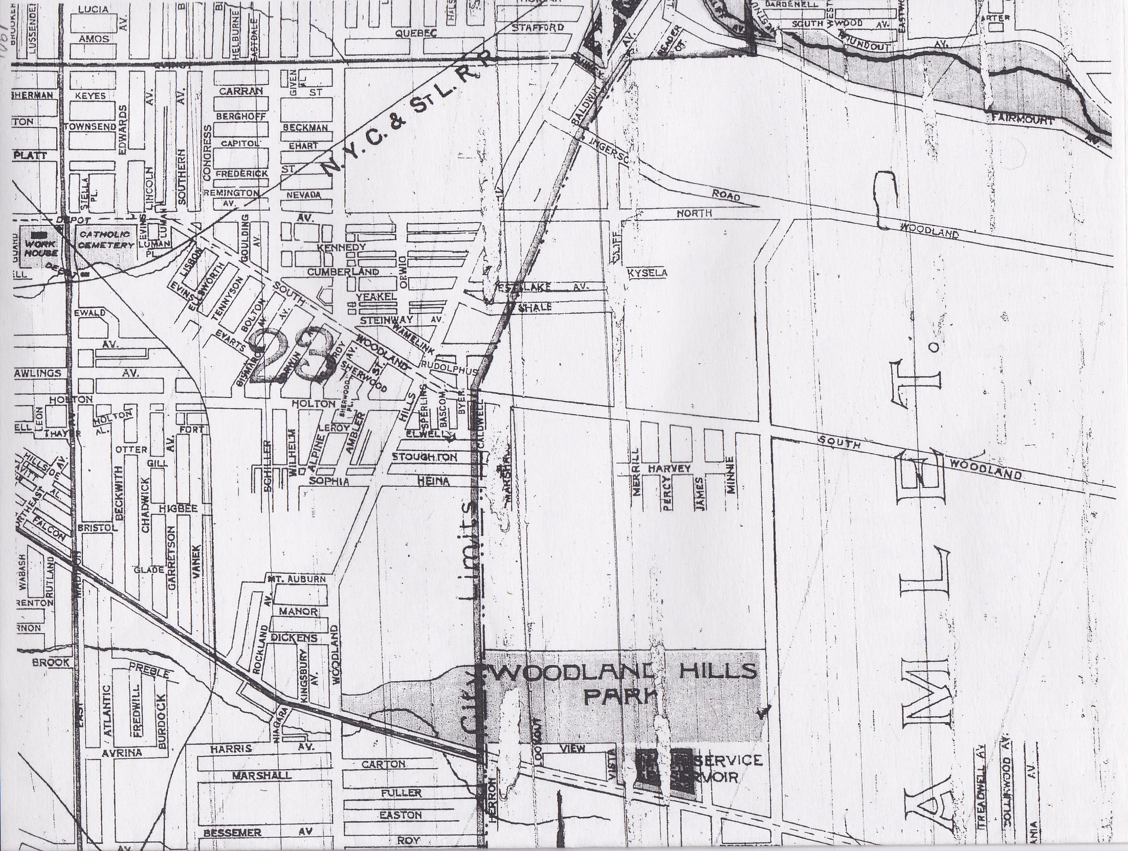
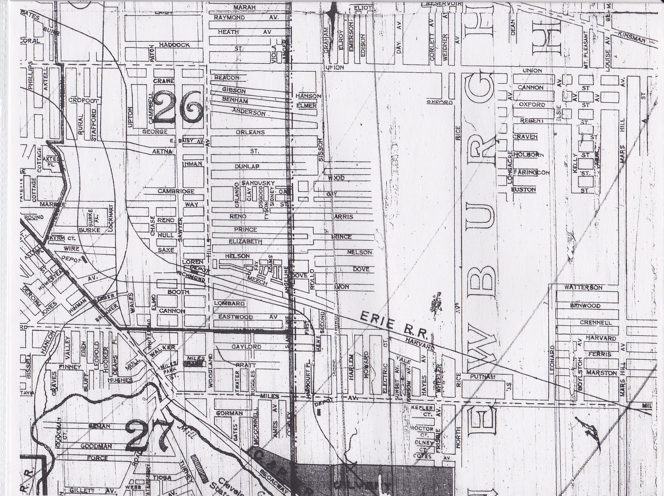
- 1901 Maps - Cleveland City Directory Microfilm, Fairview Park Library
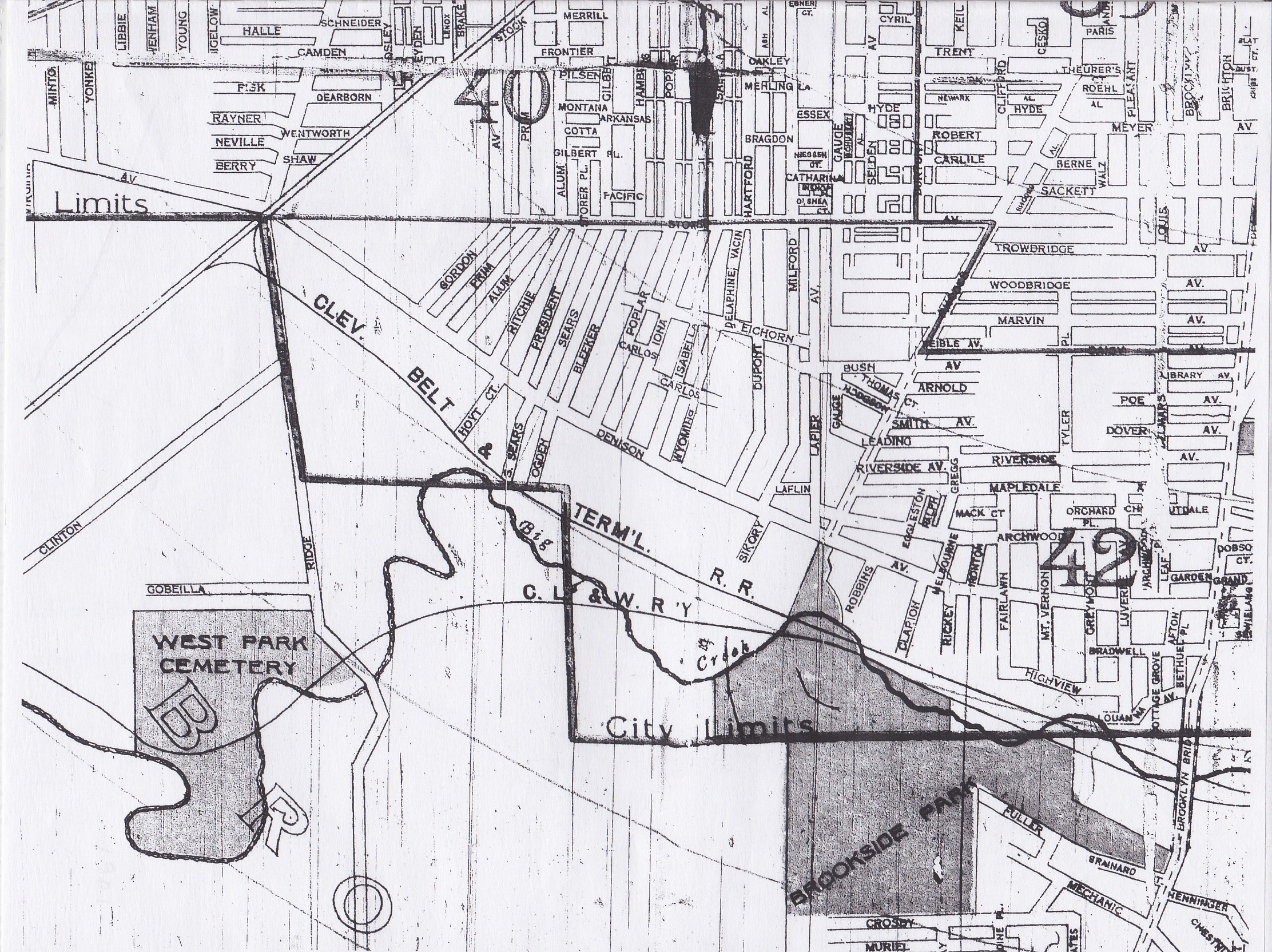
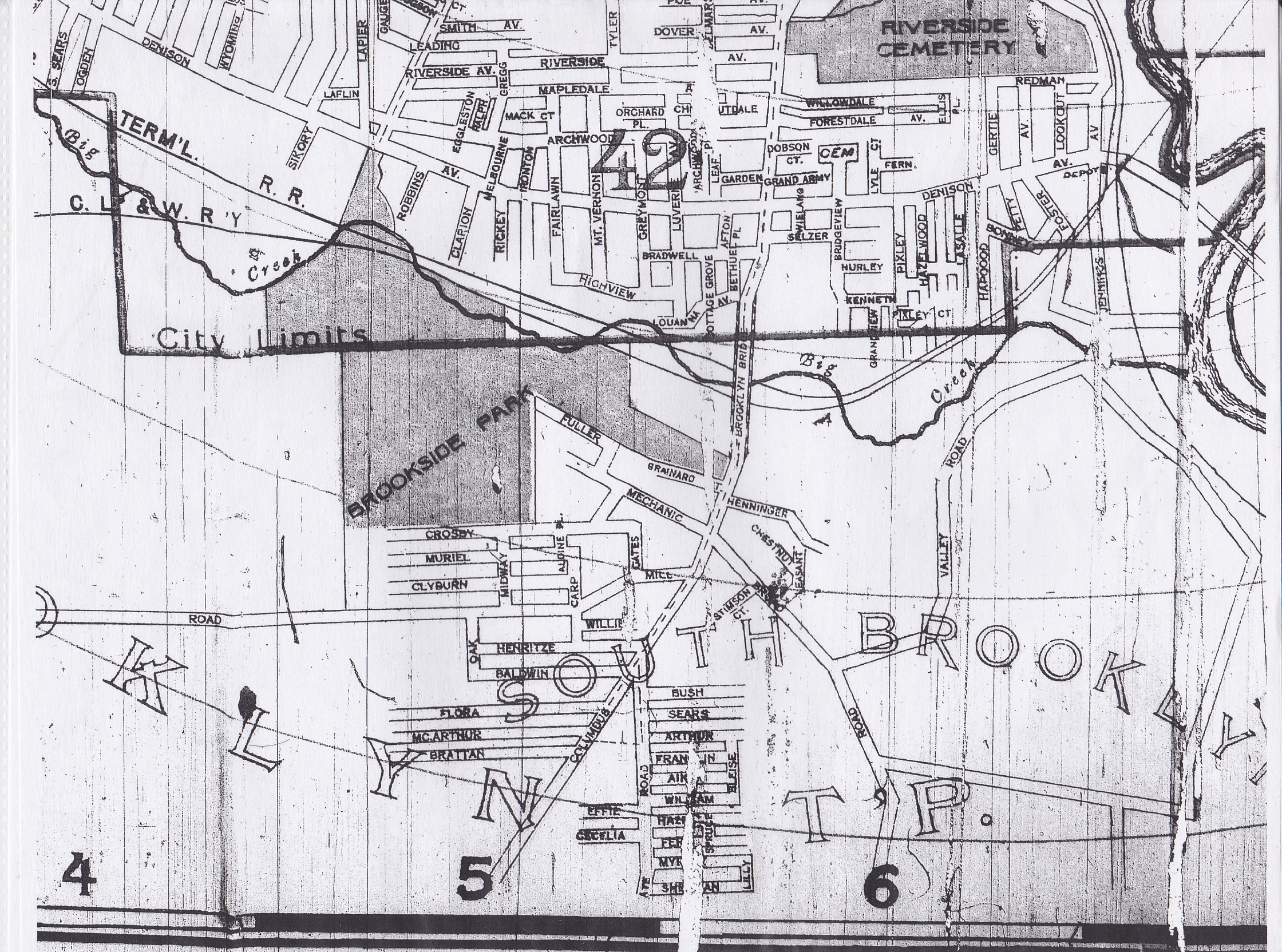
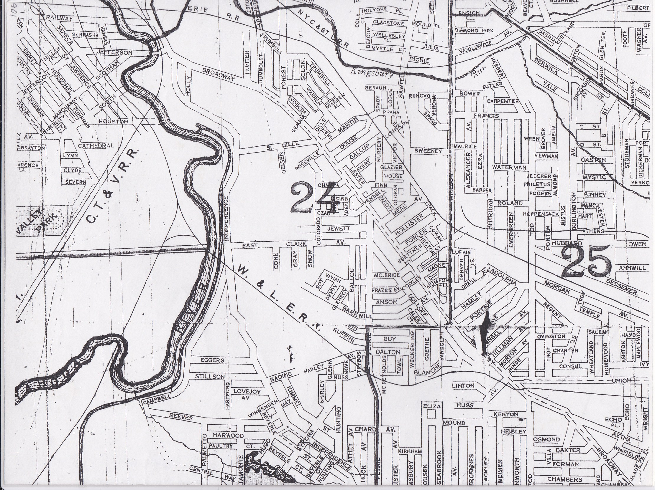
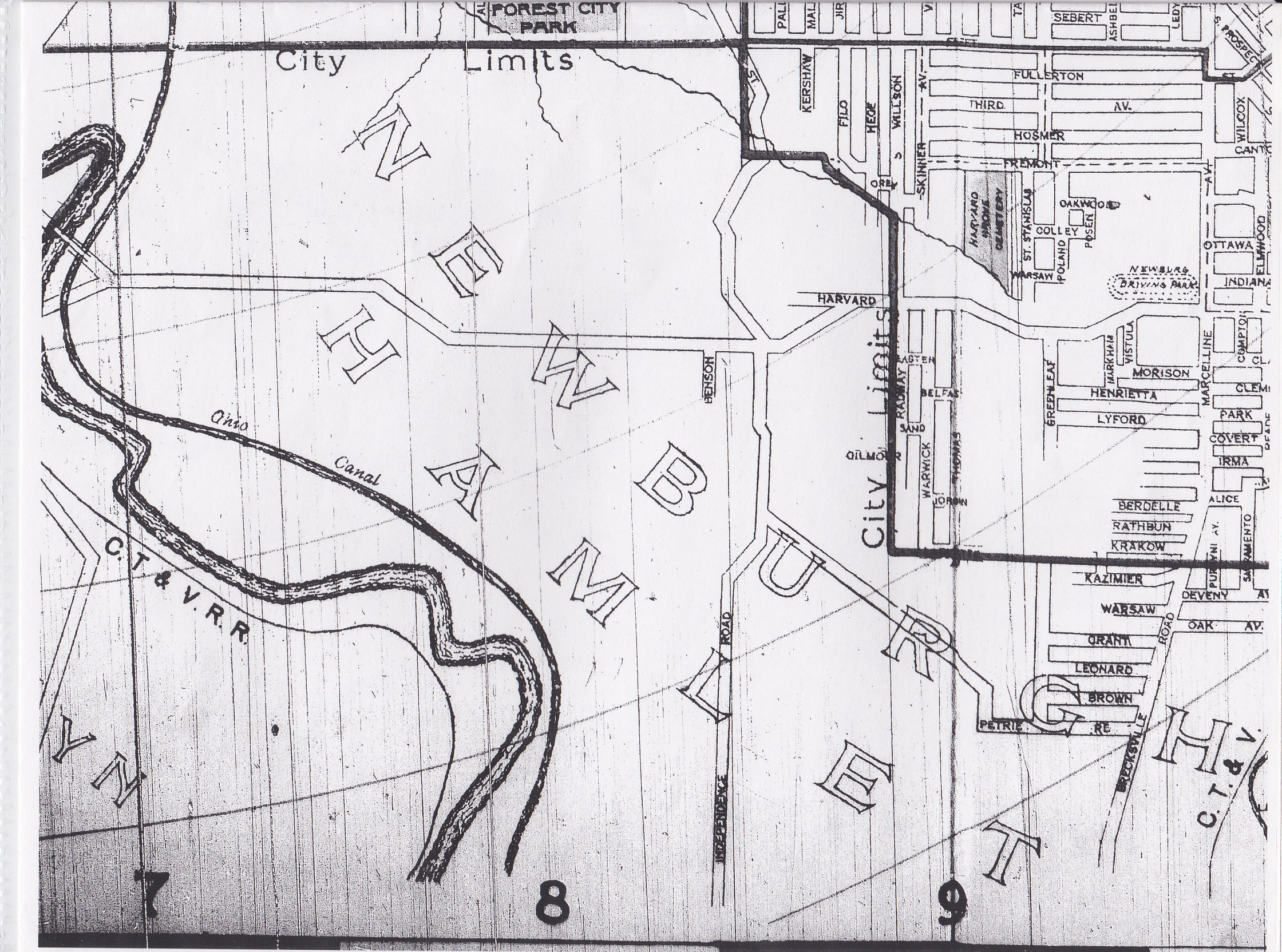
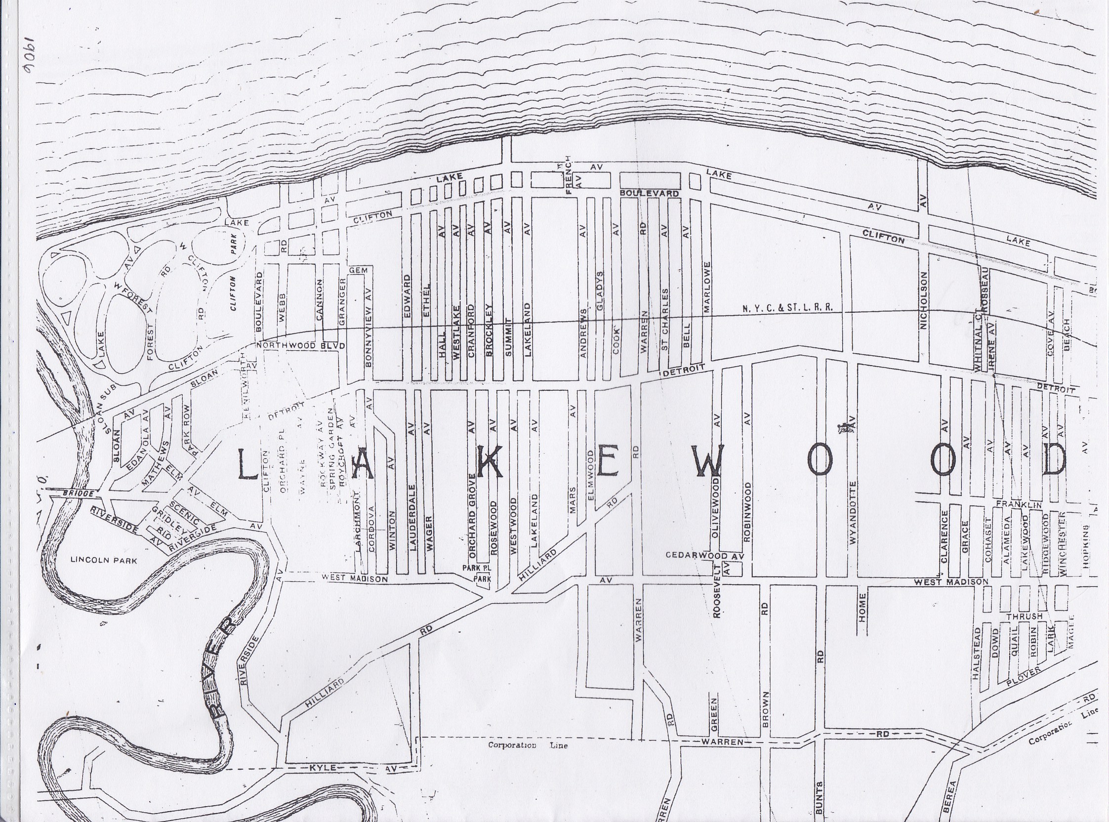
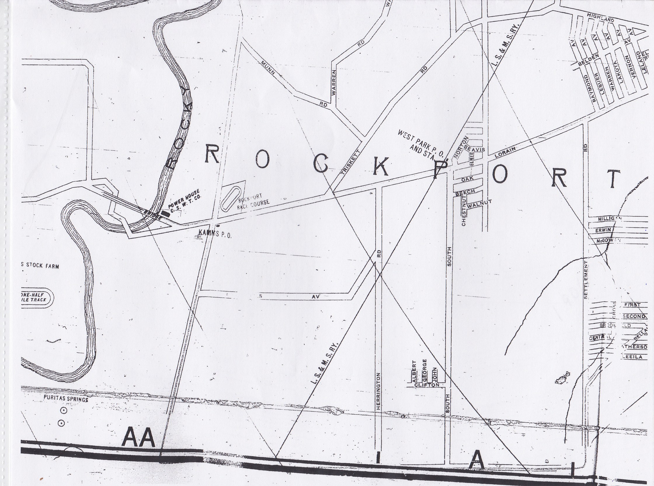
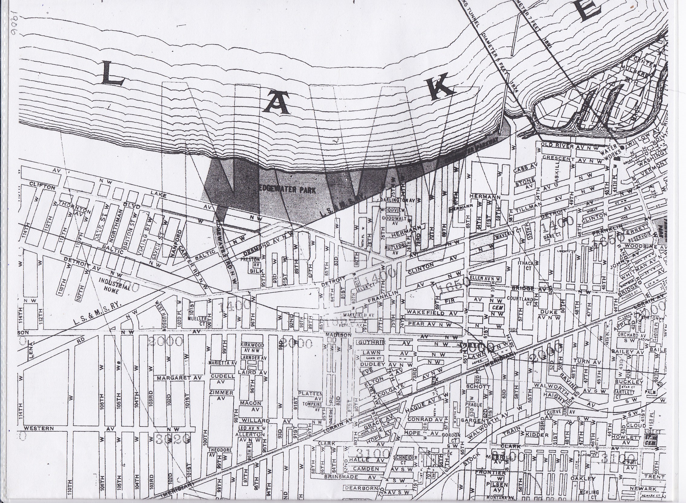
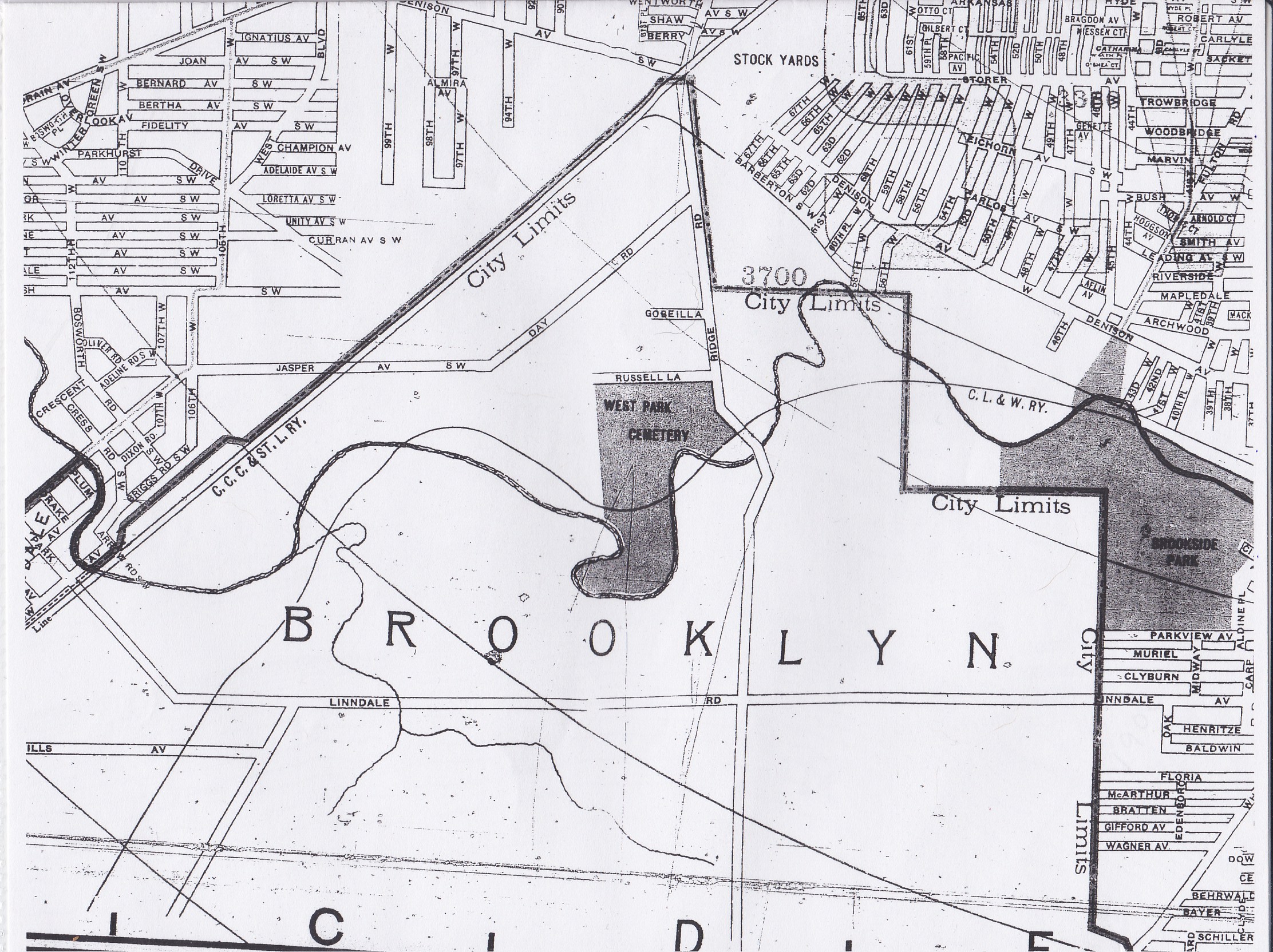
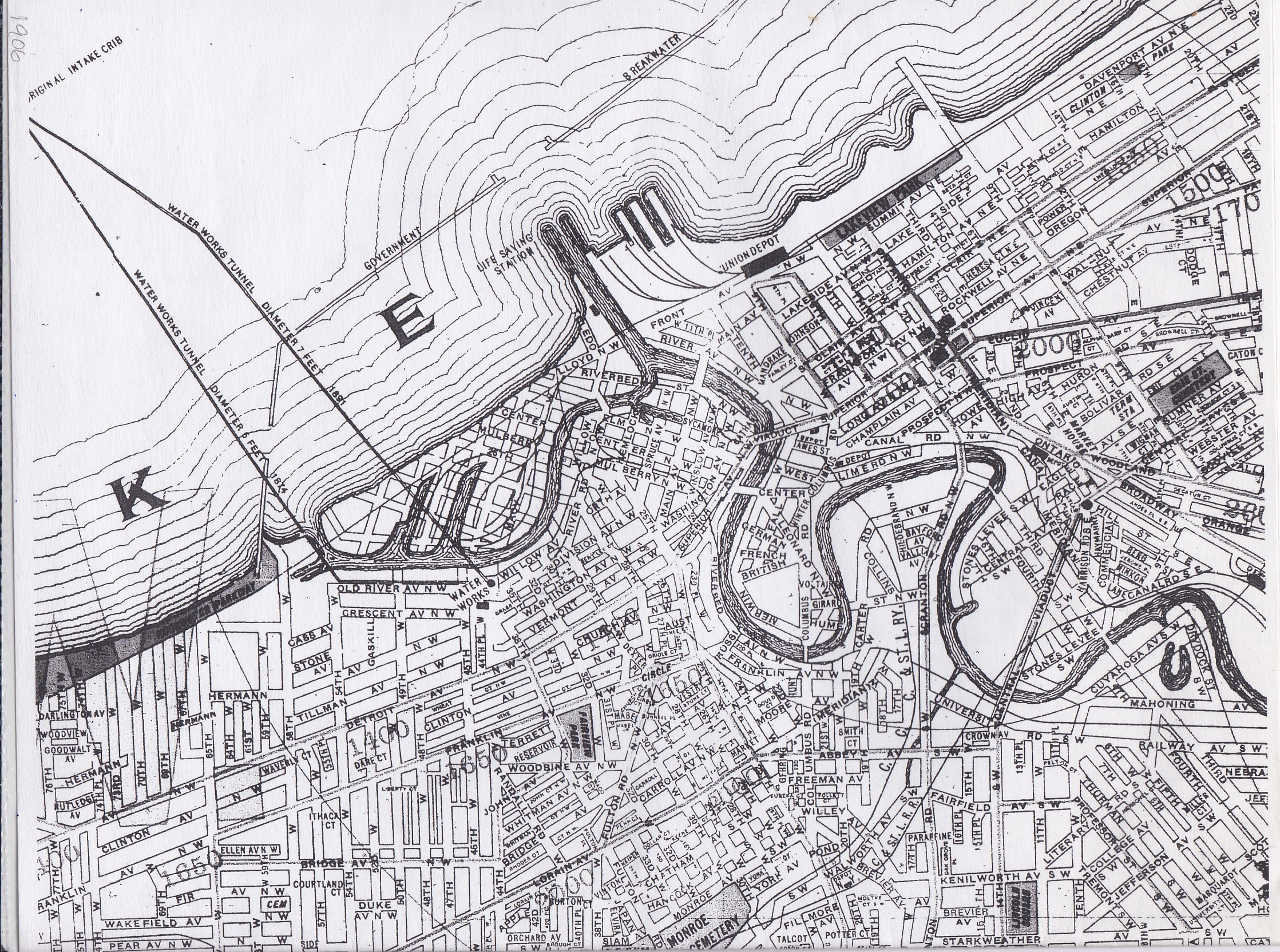
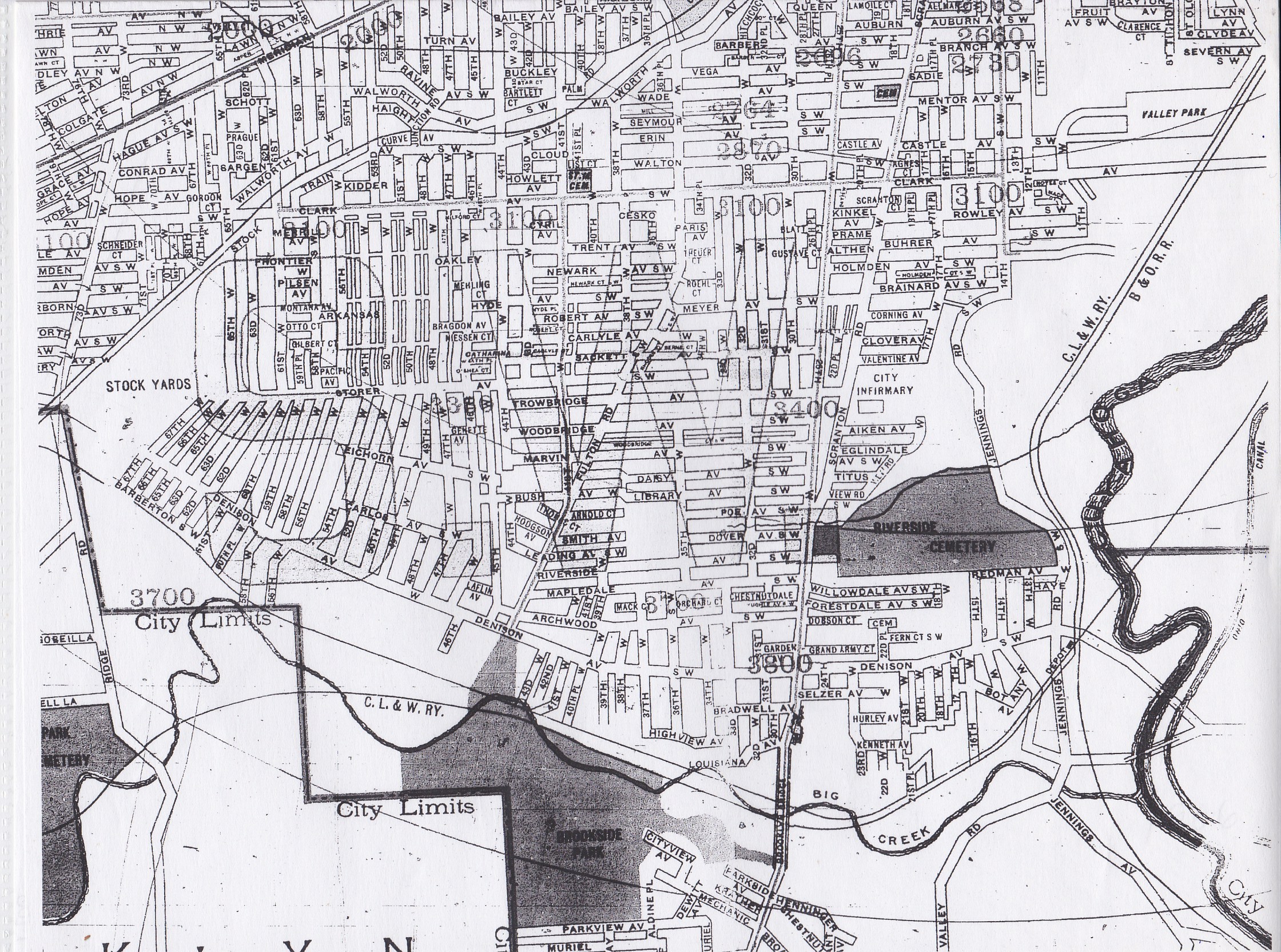
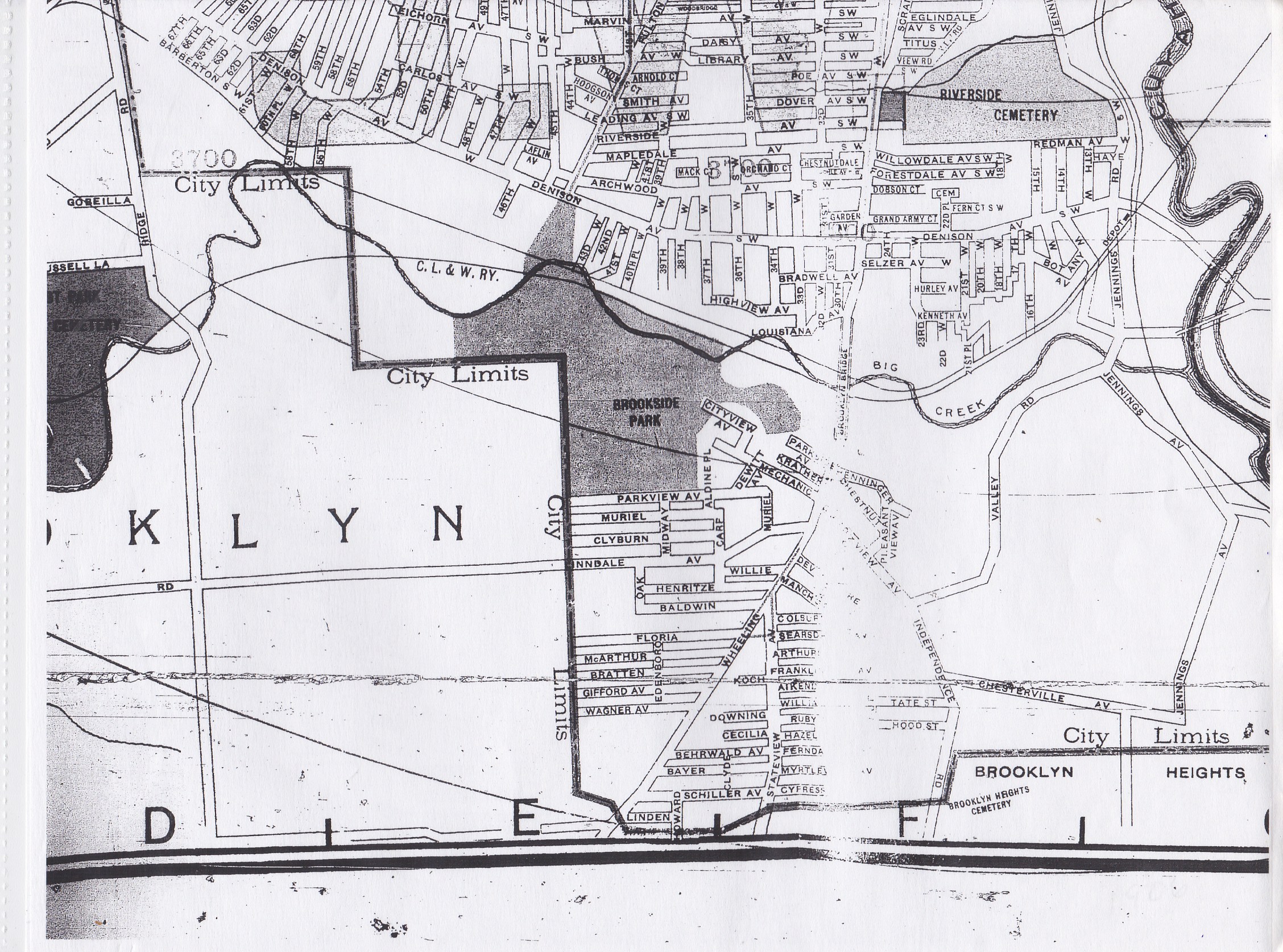
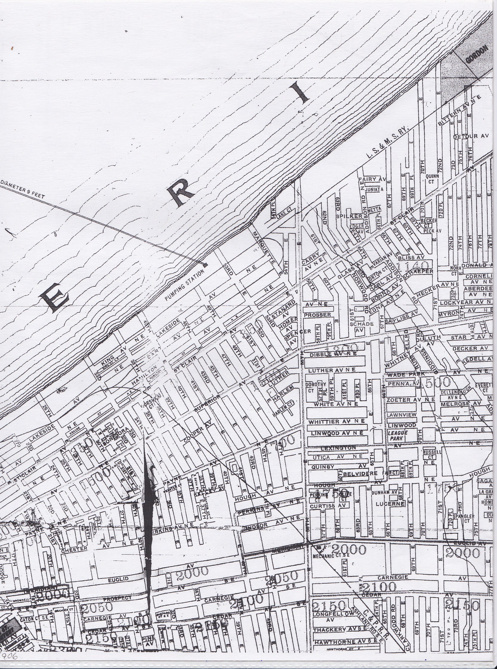
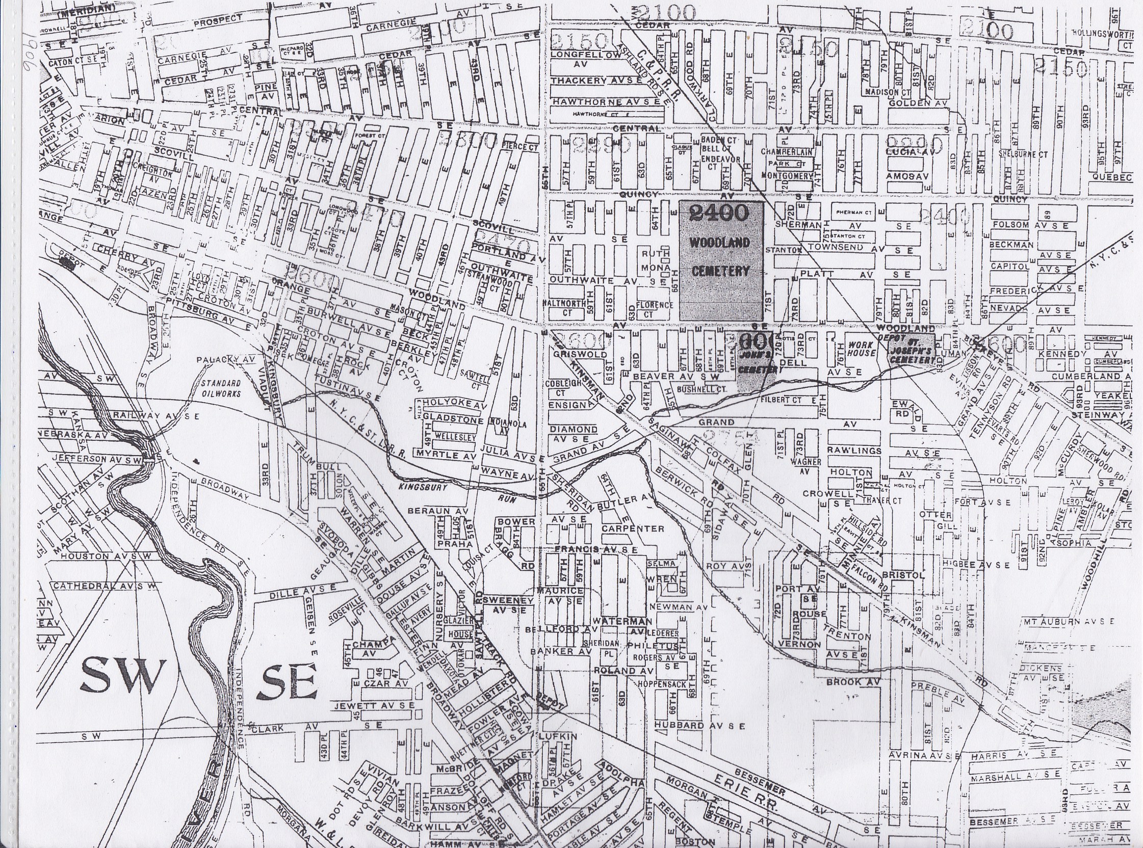
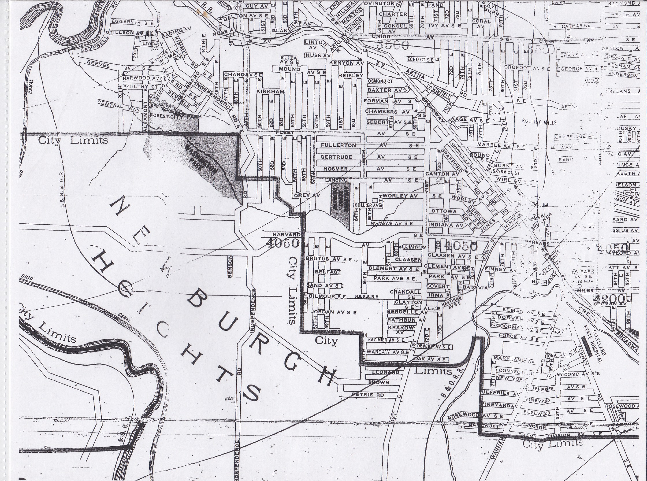
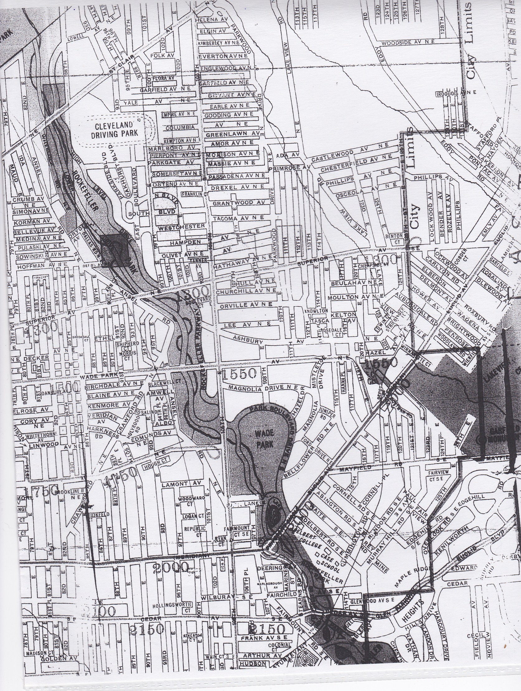
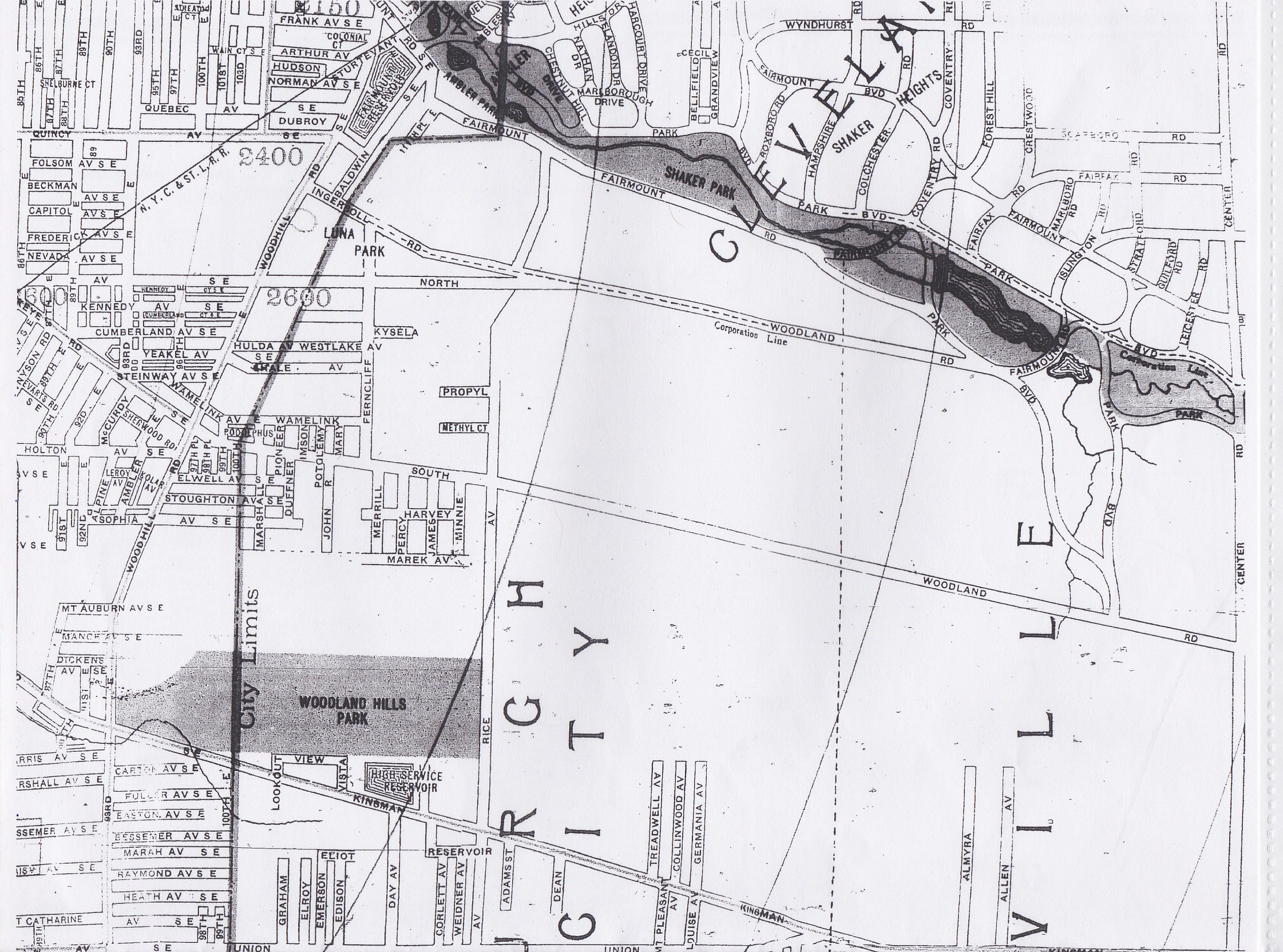
- 1906 Maps - Cleveland City Directory Microfilm, Fairview Park Library
MAPS IMAGES and OTHER MAP REPOSITORIES - OFF-SITE
Cuyahoga County 1852 Landownership Map Index on FamilySearch, a project of Greater Cleveland Genealogical Society. Includes the maps at the end of the book.
ATLASES - CITY AND COUNTY
AUDITOR'S TAX MAPS
These maps can be used to trace owners of a particular property. The Cuyahoga County Archive also has auditor's tax maps. An appointment is necessary to do property research.
- MyPlace Auditor's Tax Maps and Recorder's Office Subdivision Maps
CENSUS TRACT MAPS
LEGISLATIVE DISTRICT MAPS
LIBRARY OF CONGRESS
- Library of Congress Maps - you can email them and ask for copies of maps. Last I tried, they are sent to you for FREE! They have maps from all over the world. However, Cleveland Public Library downtown has some of the same maps that the Library of Congress has for other countries, so try CPL first.
OTHER ONLINE MAPS
PLANNING COMMISSION MAPS
PLAT BOOKS
PURCHASING MAPS
RECORDER'S OFFICE SUBDIVISION MAPS
REPOSITORIES IN CLEVELAND THAT HAVE MAP COLLECTIONS
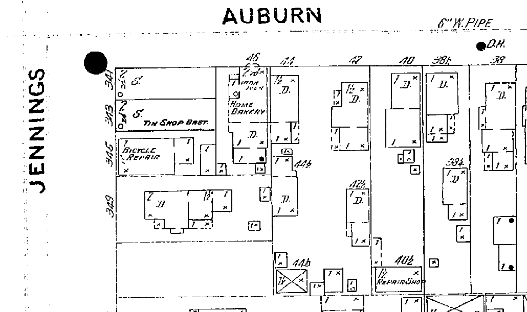
SANBORN FIRE INSURANCE MAPS
Search your address of interest and see a map showing that address - what materials it was built of, number of stories, outbuildings, etc.
- Sanborn Insurance Maps at Cleveland Public
Library - covers 1886 corrected to 1894, 1887 corrected to 1894, and 1896 corrected to 1910.
If you live in Ohio and have an Ohio public library or college library card, you can search the Sanborn Fire Insurance maps for free through OPLIN.
First try to find the street name of interest in either a city directory map or on a current map so you know
what area to look for, noting the surrounding streets. The Sanborn Maps were originally created for judging fire insurance liability in urbanized areas in the United States. There is detailed information for approximately 12,000 towns and cities in the United States from 1867-2007. The maps were created in volumes, bound, and then updated until the next volume was produced. Large cities have multiple volumes. What can you see on one of these maps? There are "specials" on some maps, showing the names of churches, schools, and businesses. The maps include outlines of each building and outbuilding, the location of windows and doors, street names, street and sidewalk widths, property boundaries, natural features such as rivers and canals, as well as railroads, building uses, and the house and block number. Also shown is the composition of the building materials used for the building, such as the framing, flooring and roofing materials. Genealogists can use the maps to locate the residences and workplaces of their ancestors.
To search the Sanborn maps via Cuyahoga County Public Libraries, for instance:
- Go to www.cuyahogalibrary.org/Site-Map.aspx (link broken)
- Hover over the word "Research"
- Choose "Electronic Resources by Subject"
- Scroll down and choose "Genealogy"
- Click on "Sanborn Fire Insurance Maps"
- Enter your library card number
- Choose Cuyahoga County Public Library
- Enter your library card and password
- Enter a city - in this case Cleveland and hit enter
- Choose "ALL DATE RANGES"
- Click "Filter by street address"
- Type in a street name and click on "GO". I chose Clarence Ct. for this example.
- When the screen refreshes click on the entries on the right that appear for Clarence Court to see the maps. When you find a map that appears to be the correct street, you can zoom in and look for the address where your ancestor lived and see exactly what the building at that address looked like in that particular year. Note that there are many maps for different years and I suggest you look at them all. You can also note the "specials" that appear on the map, such as churches, schools, rivers, canals, or railroads.
WARD MAPS
WEBSITES WITH A VARIED COLLECTION OF MAPS
|