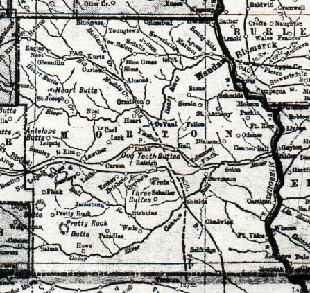
Showing present day Morton, Grant and Sioux counties
Here's the map of Morton County which can be dated between 1910 (when the Cannonball branch was built) and 1916 (when the county was split). This map shows Esther, Dogtooth, etc. and many other points which aren't shown on other maps. It also shows "Leipzig" and "New Leipzig"