Kane Co., Utah GenWeb


K Mountain in Kanab, Utah
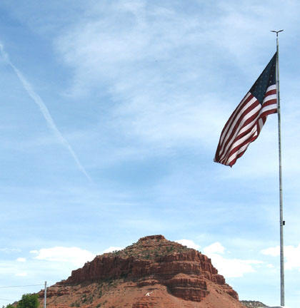
Kanab, Kane Co., Utah
Kane County was named for Colonel Thomas L. Kane in honor of his friendship with the Mormon Pioneers.
It was created in 1860 and redefined in 1864. It lies along Utah's southern border.


This County is up for Adoption

If you experience a problem with a link on these pages, wish to volunteer to do 'look-ups', have information you wish to donate, or would like to adopt this county, please contact
Temporary Coordinator, Mary Schwanke.


SEARCH THIS SITE
 
search engine by freefind


What's New

  • Moved from Rootsweb Server March 2018


Resources


Queries, Boards, Lists & Lookups


Bibliography - Books about Kane County

  • History of Kane County Publisher, Date: Salt Lake City : Kane County Daughters of Utah Pioneers, 1970. Call Number: 979.2 D2383 ka
  • A history of Kane County by Bradley-Evans, Martha. Series: Utah centennial county history series. Publisher, Date: Salt Lake City : Utah State Historical Society ; [Kanab] : Kane County Commission, 1999. Call Number: 979.251 B811 hi 


Neighboring Counties


Cemeteries


General Information


Libraries

  • LDS Family History Center
    115 S 100 E
    Glendale, Utah
    Phone: 435-645-2305

Kane County Locations

  • Adairville (ghost town)
  • Alton (Graham Roundy's Station)
  • Big Water
  • Bullfrog
  • Clarksdale
  • Factory Farm
  • Fort Meek
  • Fort Wahweap
  • Glendale (Berryville)
  • Georgetown
  • Johnson
  • Kanab
  • Long Valley Junction
  • Mount Carmel
  • Orderville
  • Paria
  • Shirts Fort
  • Upper Kanab
  • White House


Copyright ©  UTGenWeb and USGenWeb Projects

Last updated: 03.11.2019