|
Welcome To
Trinity County! |

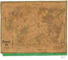
Trinity County Maps
A great source for Trinity County and vicinity maps is Texas General Land Office. Choose Trinity under County drop menu and go to the end. Here is a 1879 map from their collection. These maps are available for purchase through Texas General Land Office. They also have some maps up for adoption.
| Texas Department of Transportation
Trinity County Road Map |
 |
| Today's Trinity County Map |
 |
Trinity County Cemetery List . Trinity County Church List . Trinity County Populated Place List . Trinity County Places and Geographic Features List . If the link for the location information and map do not work use the USGS links at the bottom of each list page. |
|
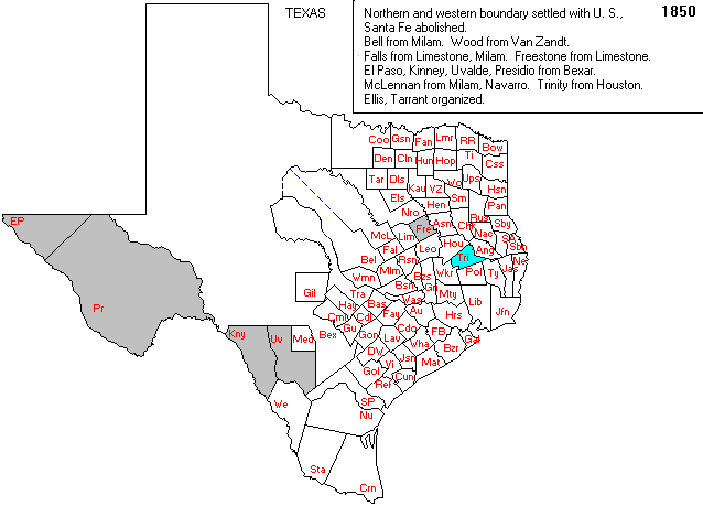
| Trinity County 1850 |
 |
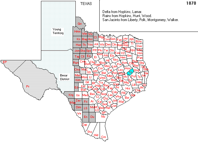
| Trinity County 1870 |
 |
| Home Page |
Updated February 2013/skw