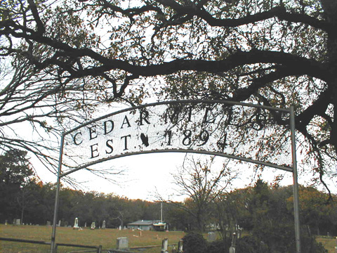
Grayson County TXGenWeb
GPS Coordinates
N 33 DEGREES49.879 - W 96 DEGREES49.053
Take Hwy 377 to Sherwood Shores
Turn right on Cedar Mills Road
Map
A
B
C
D
E
F
G
H
I
J
K
L
M
N
O
P
Q
R
S
T
U
V
W
X
Y
Z
Map
Cemetery Index
Susan Hawkins
© 2024
If you find any of
Grayson County TXGenWeb
links inoperable,
please send me a message.