 north of Sadler 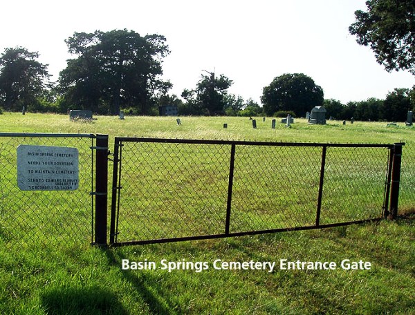  GPS Coordinates Latitude: 33.72287, Longitude: -96.84365 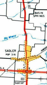
Turn right to Basin Springs Road Turn left onto dirt road Maps of the Cemetery Sections and burials Photographs and Information & Contact for the Cemetery AssociationBasinSpringsCommunityCemetery@gmail.com
|